Trail Overview
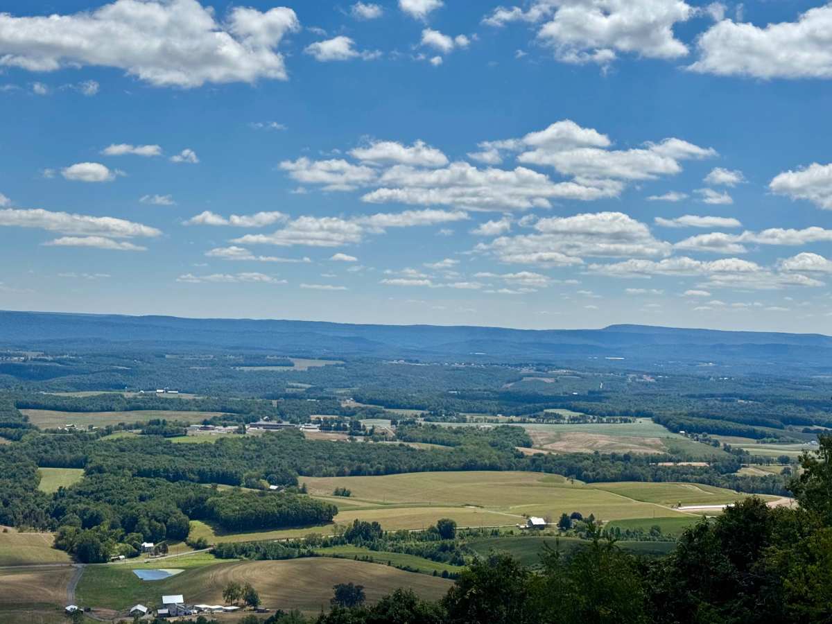
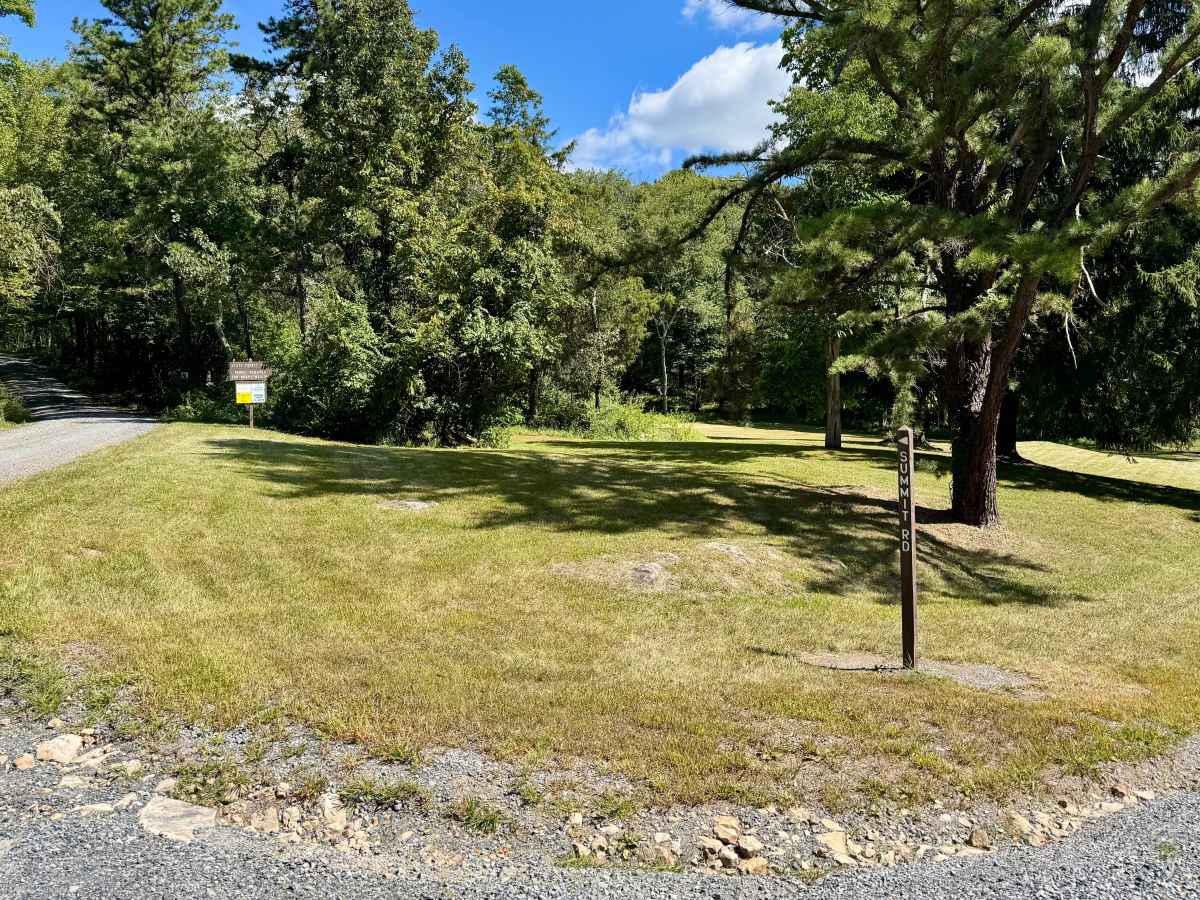
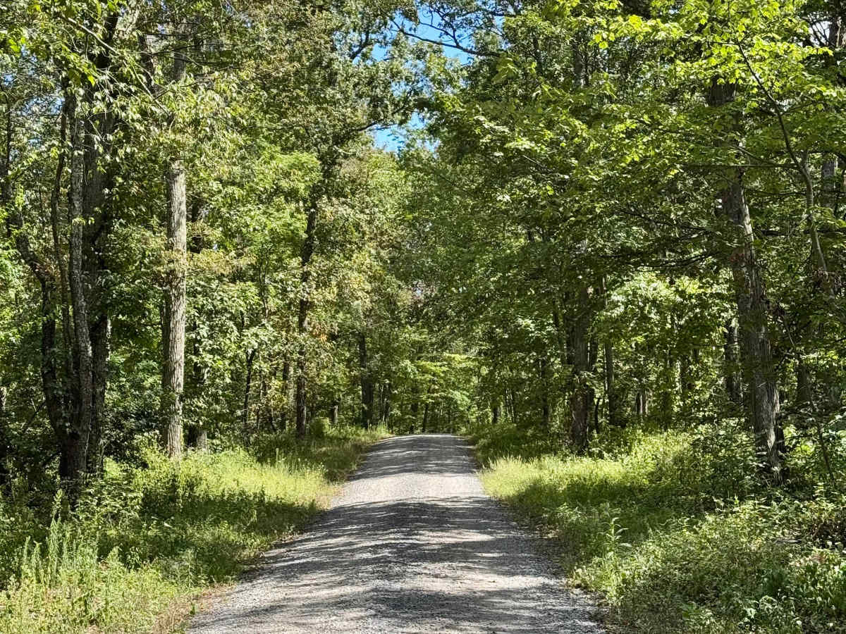
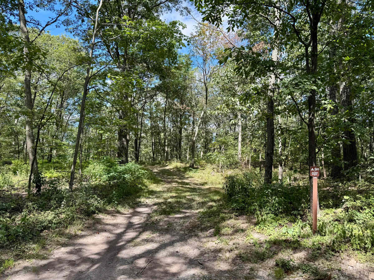
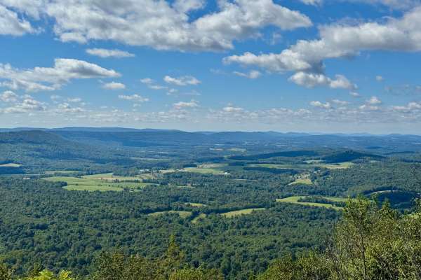
Summit Road in Buchanan State Forest is known for the Summit Road Vista, a highly regarded scenic overlook with far-reaching views and strong ties to the region's CCC-driven road development and forest conservation legacy. The vista is considered one of the best fall foliage overlooks in Buchanan State Forest, and that's saying something given how many great vistas there are in Buchanan State Forest! The vista is also considered a hang gliding launch site by the Department of Conservation and Natural Resources, and is also popular with amateur radio enthusiasts, due to its elevation and open landscape. The drive along this route is especially scenic, with outstanding views of surrounding ridges and valleys at peak leaf season. The road runs along the north ridge of Sideling Hill and also provides access to some excellent dispersed motorized camp sites that can be reserved on Reserve America. To the north, the trail ends at private land for a communications tower.
Difficulty
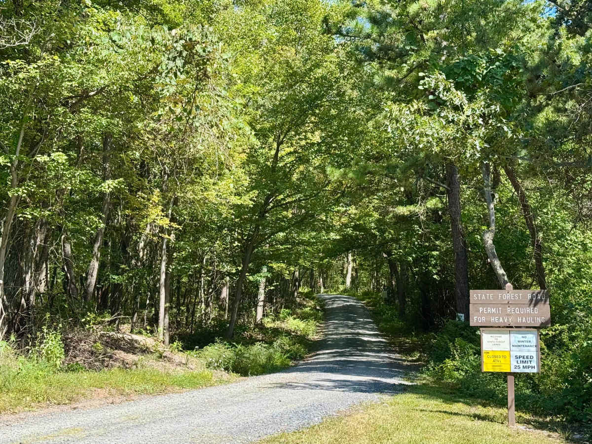
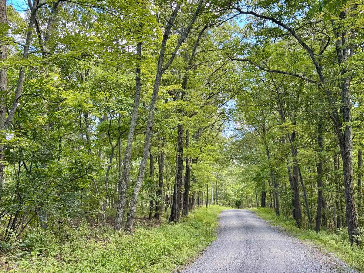
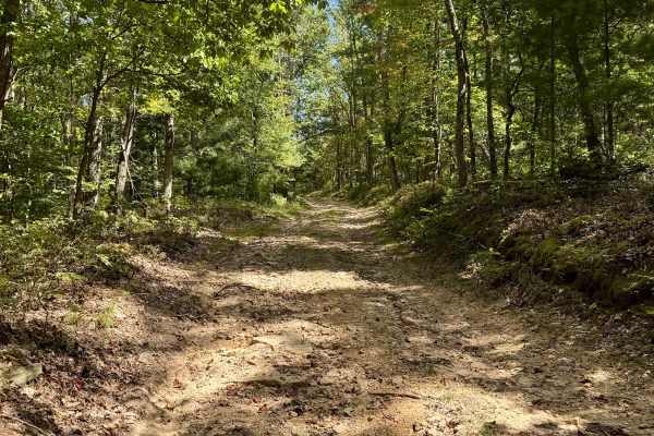
The road follows a typical Pennsylvania forest service route, primarily well-maintained gravel. It is smooth and easy to drive, with minimal obstacles or technical challenges. This road does not receive winter maintenance.
History
Summit Road, like many other roads in the forest, was originally constructed or improved during the early-to-mid 20th century, coinciding with land recovery efforts and the Civilian Conservation Corps projects that transformed former logging tracts into protected public lands.