
Beginner Off-Road Trails
Near Centre Hall, Pennsylvania
Explore All Beginner Trails Near Centre Hall, Pennsylvania
Beginner Off-Road Trails Near Centre Hall, Pennsylvania
Discover the best beginner-friendly off-road trails near you. These easier, lower-rated trails are a great place to start — browse trail maps, check difficulty ratings, and find your next adventure.
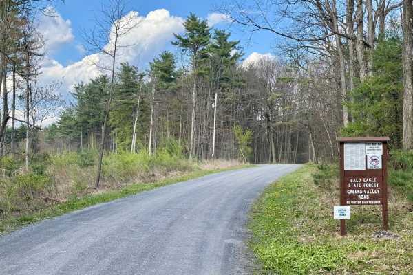
Greens Valley Road
A standard out-and-back gravel Pennsylvania state forest road. It is scenic and peaceful. During the fall and early winter, the gate at the end of this road is open, giving access to an additional mile of forest road, but beyond that, the bridge is out and is unlikely to be replaced. This road offer...
Learn more about Greens Valley Road
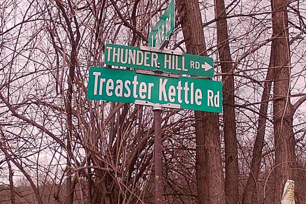
Treaster Kettle road
Treaster Kettle Road is a typical graded gravel road within Rothrock State Forest. The trail is an in and out trail, with the trailhead off highway 604 and run into Treasure Kettle Trail. A side trail is Thickhead Road at the exit of Treaster Kettle Road. There are two hiking trails, the Bailout Tra...
Learn more about Treaster Kettle road
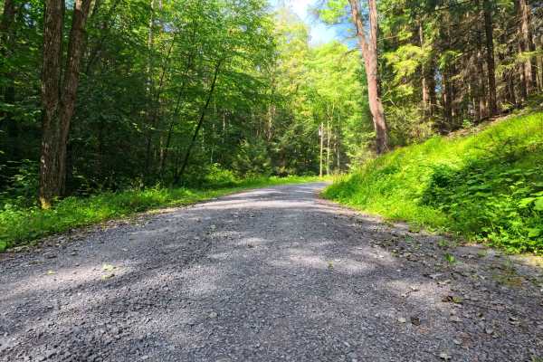
Krise Valley Road
This is a maintained gravel road with occasional homes and hunting camps along the route. This is also used for hiking and bicycle riding, so be aware of people along the way. There are a few pull-offs, and it is an easy ride through the forest. The trail ends at Route 322.
Learn more about Krise Valley Road
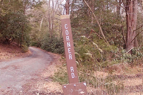
Corner Road
Corner Road is a typical graded gravel state forest road within Rothrock State Forest. The trail is up and back due to private land with a gate. The trailhead is off Bear Meadows Road. A flowing brook runs parallel to the trail. There are some hunting cabins set off from the trail. There is an abund...
Learn more about Corner Road
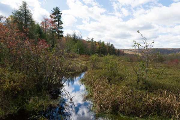
Bear Meadows Road
Bear Meadows Road is a well-maintained gravel trail through Rothrock State Forest. The trail passes along the Bear Meadows Natural Area before climbing to a ridge and descending to Alan Seeger Natural Area. The trail passes multiple hiking trailheads, private cabins, and other off-road trails as it ...
Learn more about Bear Meadows Road
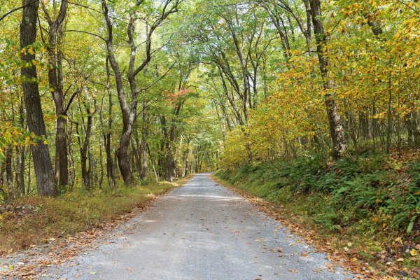
Laurel Run Road
Laurel Run Road is a well-maintained gravel trail through Rothrock State Forest. The trail climbs a series of switchbacks to a ridge before descending and entering Whipple Dam State Park. The trail passes multiple hiking trailheads, private cabins, and other off-road trails as it traverses a forest ...
Learn more about Laurel Run Road
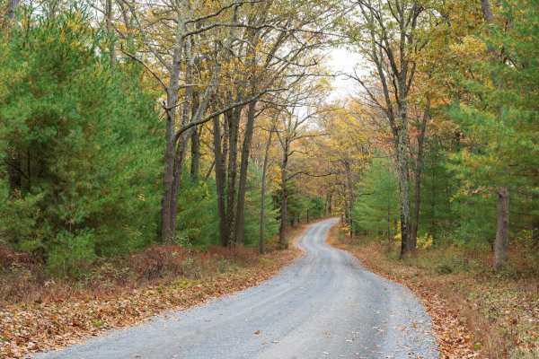
Sand Mountain Road
Sand Mountain Road is a well-maintained gravel trail through Bald Eagle State Forest. The trail starts on a paved road passing through a Boy Scout camp before turning to gravel and traversing a forest of deciduous trees, pine, mountain laurel, and rhododendron. The trail provides access to multiple ...
Learn more about Sand Mountain Road
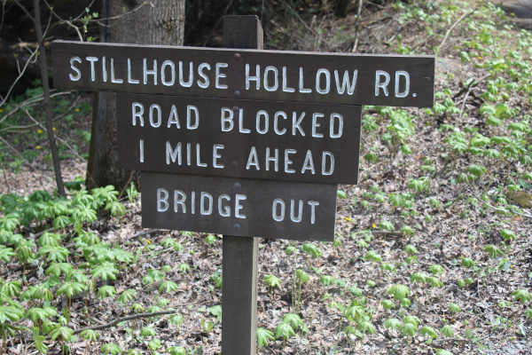
Stillhouse Hollow Trail
Stillhouse Hollow Trail is located in Bald Eagle State Forest. Presently, it is a dead-end trail, which is just over a mile, due to a bridge being closed off with no alternate water crossing. The trail begins with gravel but quickly devolves into a rutted dirt trail. There are a few mudholes along t...
Learn more about Stillhouse Hollow Trail
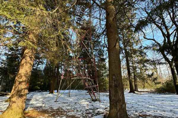
Little Flat Tower Road
Little Flat Tower Road is a newly designated out-and-back drivable trail in Bald Eagle State Forest. Even though it is a short drive, it leads to a beautiful historic cabin and fire tower. From the beginning at Laurel Run Road, it is a constant climb in elevation until you reach the end at the cabin...
Learn more about Little Flat Tower Road
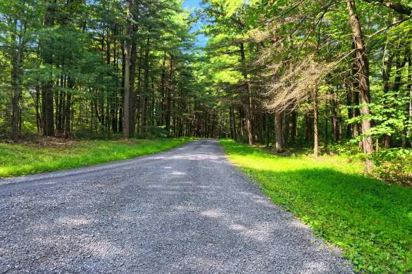
Boal Gap Road
This is a maintained gravel road offering an easy ride through the forest and follows a small creek for part of the trail. This makes for an easy road to cut across into the park from major roads. A few small pull-off areas are available.
Learn more about Boal Gap Road
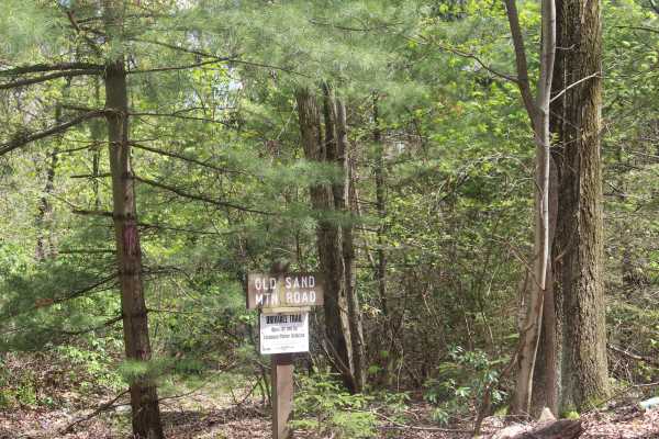
Old Sand Mountain Road
Old Sand Mountain Road is a drivable trail which dead ends at a closed deer fence access gate. The trail is wide and covered with gravel. There is no maintenance on this trail, but it is kept accessible for access by the Department of Conservation. While the trail is not technical and offers little ...
Learn more about Old Sand Mountain Road
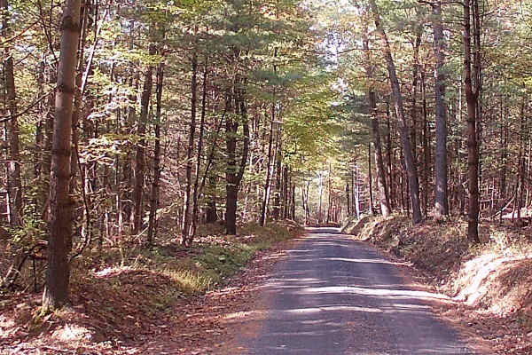
Decker Run Road
This trail is a graded gravel road within the Bald Eagle State Forest. It is a point-to-point type of trail. It is a typical winding state forest road. Easily accessible during the summer months by car. The trail has some homes and camps off the trail. There is a section of tall pines, amongst oak t...
Learn more about Decker Run Road
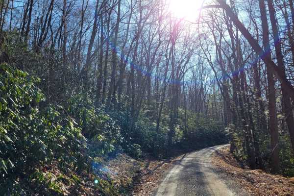
Treasure Kettle Trail
The Treasure Kettle Trail runs East to West through Rothrock State Forest in Pennsylvania. This road offers a scenic and easy drive along Tussey Ridge. While there are no motorized campsites on this trail, there are numerous hiking trails with backpack camping opportunities. The Bear Meadows Natural...
Learn more about Treasure Kettle Trail
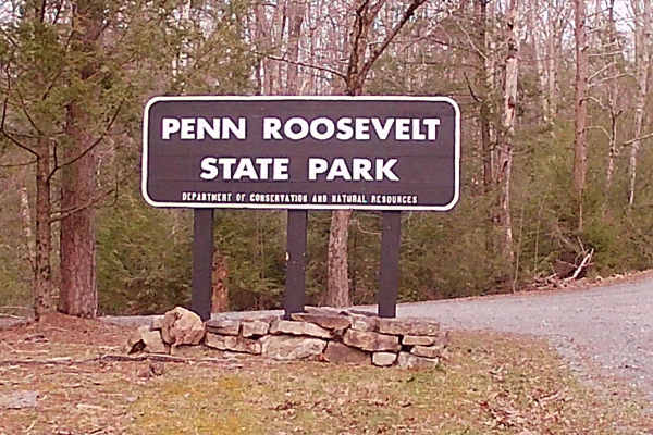
Camp Road
Camp Road is an in-and-out trail that is a typical state forest graded gravel road within Rothrock State Forest. It encompasses Penn Roosevelt State Park, with multiple hiking trails for walking and mountain biking (Oven Baked Trail, Mid-state Trail, and Broad Mountain West Loop Trail). There is a n...
Learn more about Camp Road
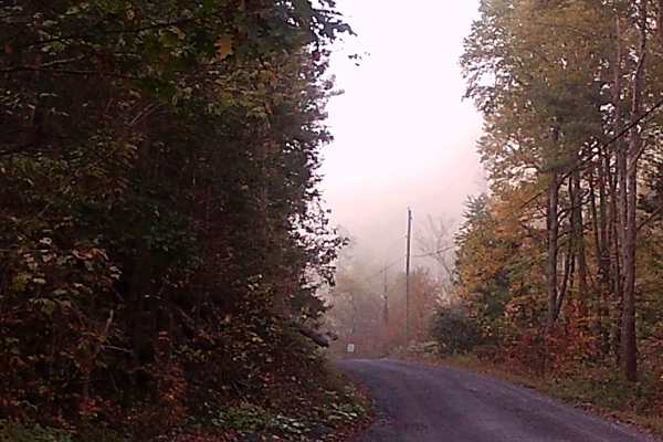
Lingle Valley Road
This graded gravel road runs through Bald Eagle State Forest, featuring gentle hills and the winding layout typical of forest roads. It is a point-to-point route with several camps and residences along the way. Wildlife such as wild turkeys are commonly seen in the area. The road is easily accessibl...
Learn more about Lingle Valley Road
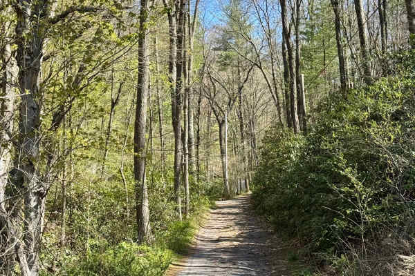
Stillhouse Hollow Rd
The PA DCNR map shows this as a drivable trail and advises the use of a high-clearance 4x4 vehicle. That's good advice. Bald Eagle State Forest is notable for having a number of more challenging drivable trails, and this forest road falls into that category. This is an out-and-back track that may no...
Learn more about Stillhouse Hollow Rd
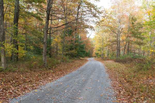
Crowfield Road
Crowfield Road is a well-maintained gravel road in Rothrock State Forest. The trail traverses a forest of deciduous trees, pine, mountain laurel, and rhododendron and passes through Roosevelt State Park. There are a few spur roads to private cabins along the trail. Only highway-legal vehicles are al...
Learn more about Crowfield Road
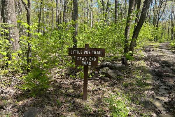
Little Poe Trail
Little Poe Trail is a fun little double-track trail that leads back to two different hunting club cabins. Expect lots of water during the spring, and there are quite a few mudholes to navigate through. Easy for a full-size truck, as the famous Pennsylvania foliage doesn't grow close enough to give p...
Learn more about Little Poe Trail
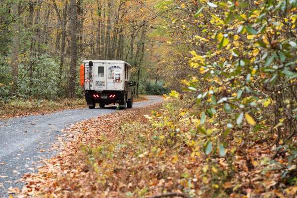
Valley Vista
The trail combines Lingle Valley Road, Conklin Road, and Kettle Road while following Lingle Creek climbing to a vista of the surrounding forest on Kettle Road. The road progressively climbs through a forest of deciduous trees, pine, mountain laurel, and rhododendron. Only highway-legal vehicles are ...
Learn more about Valley Vista
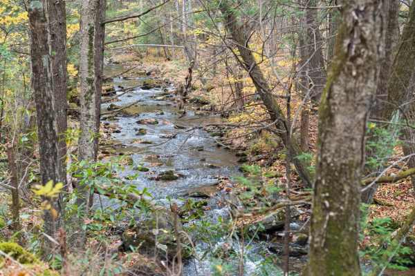
Poe Valley Road
Poe Valley Road is a well-maintained gravel trail through Bald Eagle State Forest. The trail starts in Poe Valley State Park and follows the Big Poe Creek before reaching Poe Paddy State Park. The trail traverses a forest of deciduous trees, pine, mountain laurel, and rhododendron. Only highway-lega...
Learn more about Poe Valley Road
Beginner ATV trails near Centre Hall, Pennsylvania
Explore ATV-friendly trails near you. These trails are accessible for vehicles up to 50 inches wide, perfect for ATVs and smaller off-road machines.
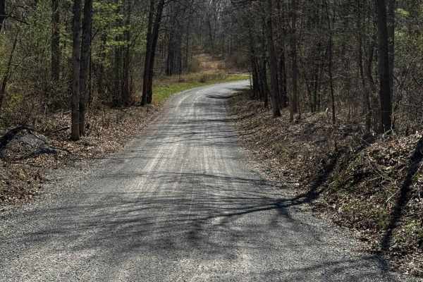
Hall Road
Hall Road is primarily a graded gravel road. It is an easy ride in the summer months; however, there is no winter maintenance. During times of rain, snow, and ice, the road can become rutted and harder to travel on. Hall Road is within Sproul State Forest. There are numerous spots to stop along this...
Learn more about Hall Road
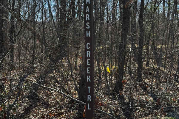
Marsh Creek Trail
Marsh Creek Trail is primarily a graded gravel road, with the southern end being dirt. It is an easy ride in the summer months; however, there is no winter maintenance. During times of rain, snow, and ice, the road can become rutted and harder to travel on. Marsh Creek Trail is within Sproul State F...
Learn more about Marsh Creek Trail
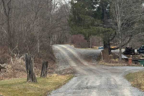
Kato Orviston Road
Kato Orviston Road is primarily a graded gravel road with some short dirt sections. It is an easy ride in the summer months; however, there is no winter maintenance. During times of rain, snow, and ice, the road will become rutted and harder to travel on. Kato Orviston Road is within Sproul State Fo...
Learn more about Kato Orviston Road
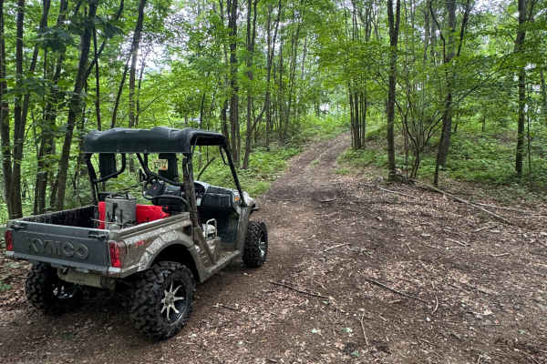
Trail 76
Trail 76 is a dead-end, ungraded, narrow dirt trail. It is part of the PA DCNR Bloody Skillet ATV Trail System located within Sproul State Forest. The trail system is open for use year-round except for being closed for two months during the spring fire season and in the fall for hunting season. Plea...
Learn more about Trail 76
Beginner UTV/side-by-side trails near Centre Hall, Pennsylvania
Find UTV and side-by-side trails near you. These trails accommodate vehicles up to 60 inches wide, ideal for UTVs, side-by-sides, and wider off-road rigs.
Hall Road
Hall Road is primarily a graded gravel road. It is an easy ride in the summer months; however, there is no winter maintenance. During times of rain, snow, and ice, the road can become rutted and harder to travel on. Hall Road is within Sproul State Forest. There are numerous spots to stop along this...
Learn more about Hall Road
Marsh Creek Trail
Marsh Creek Trail is primarily a graded gravel road, with the southern end being dirt. It is an easy ride in the summer months; however, there is no winter maintenance. During times of rain, snow, and ice, the road can become rutted and harder to travel on. Marsh Creek Trail is within Sproul State F...
Learn more about Marsh Creek Trail
Kato Orviston Road
Kato Orviston Road is primarily a graded gravel road with some short dirt sections. It is an easy ride in the summer months; however, there is no winter maintenance. During times of rain, snow, and ice, the road will become rutted and harder to travel on. Kato Orviston Road is within Sproul State Fo...
Learn more about Kato Orviston Road
Trail 76
Trail 76 is a dead-end, ungraded, narrow dirt trail. It is part of the PA DCNR Bloody Skillet ATV Trail System located within Sproul State Forest. The trail system is open for use year-round except for being closed for two months during the spring fire season and in the fall for hunting season. Plea...
Learn more about Trail 76
The onX Offroad Difference
onX Offroad combines trail photos, descriptions, difficulty ratings, width restrictions, seasonality, and more in a user-friendly interface. Available on all devices, with offline access and full compatibility with CarPlay and Android Auto. Discover what you're missing today!
Open Trail Map