
Beginner Off-Road Trails
Near Bradley, South Carolina
Explore All Beginner Trails Near Bradley, South Carolina
Beginner Off-Road Trails Near Bradley, South Carolina
Discover the best beginner-friendly off-road trails near you. These easier, lower-rated trails are a great place to start — browse trail maps, check difficulty ratings, and find your next adventure.
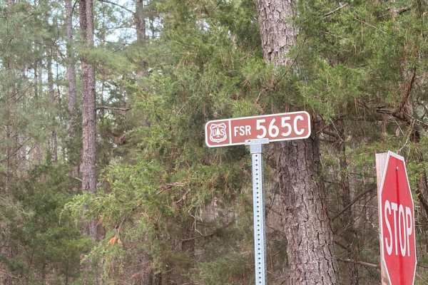
FS 565C
This trail resides inside the Sumter National Forest and branches off of the South Carolina Adventure Route. It is an out-and-back two-track that ends in a large clearing. It is accessible by virtually any vehicle as the trail surface is primarily poured gravel with occasional patches of hard-packed...
Learn more about FS 565C
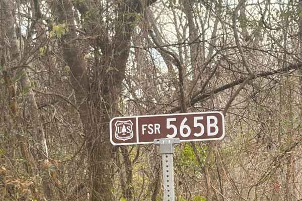
FS 565B
This trail resides inside the Sumter National Forest and branches off of the South Carolina Adventure Route. It is an out-and-back two-track that ends in a large clearing. It is accessible by virtually any vehicle as the trail surface is primarily poured gravel with occasional patches of hard-packed...
Learn more about FS 565B
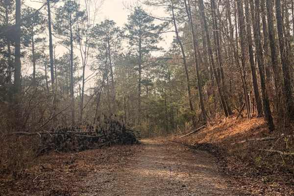
FS 570A
This is an out-and-back 2-track road inside the Sumter National Forest that leads to a roundabout next to a large clearing. The surface is gravel and hard dirt. There are no obstacles on this trail besides uncleared brush after storms. No vehicles should have a problem trying to complete this trail....
Learn more about FS 570A
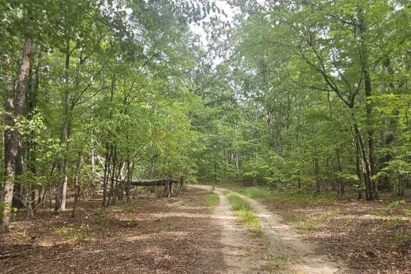
Bernett Road - FS 668/668A
Bernett Road drives deeper into Sumpter National Forest, connecting to U.S. Forestry Roads 668 and 668A. All portions of the trail are generally well-maintained and can be traveled by most vehicles. Beautiful scenery can be observed throughout the drive, and it offers several locations for potential...
Learn more about Bernett Road - FS 668/668A
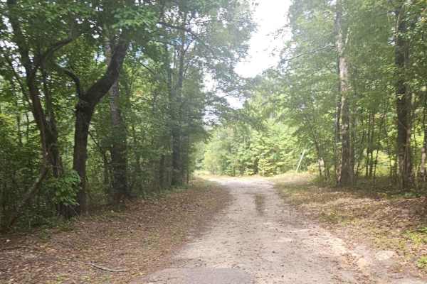
Mayson Crossroads Bypass - FS 585/585C
The Mayson Crossroads Bypass is a commonly traveled road through Sumter National Forest between U.S. Highway 378 and Mount Vernon Road. U.S. Forestry service roads 585 and 585C are largely well-maintained where minimal obstacles should be expected. It is common for wildlife to be encountered while t...
Learn more about Mayson Crossroads Bypass - FS 585/585C
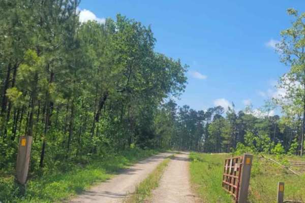
Oval Road - FSR 672
Oval Road (FRS 672) is a well-maintained service road in the Sumter National Forest. Minimal obstacles are typically encountered; however, caution should always be taken when traversing service roads. A high clearance vehicle is not required to travel this road under normal conditions. This road off...
Learn more about Oval Road - FSR 672
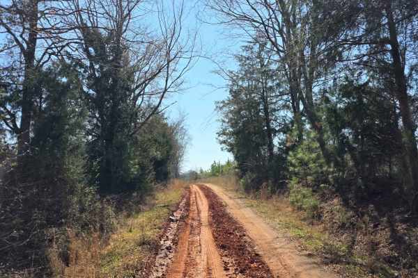
Warner Road
The route runs behind the Ninety Six National Historic Site and is packed with gravel, sand, and classic Southern red clay. It features a small creek crossing perfect for a quick splash before winding into a short, paved stretch that soon returns to a fun sand-and-clay mix. The drive continues throu...
Learn more about Warner Road

LR White - SCAR Alternate
This section of the South Carolina Adventure Route is found southeast of McCormick. It consistently contains sections of shallow mud and standing water across the road, as well as significant encroachment of tree limbs. If you're looking for a more adventurous track, you'll find it here. This trail ...
Learn more about LR White - SCAR Alternate
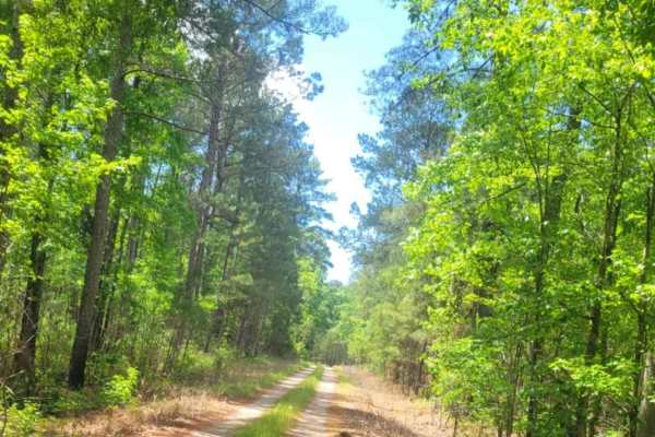
Wine Circle - FSR 620
This route is a well-maintained forestry service road in the Sumter National Forest. While the road is an out-and-back, it provides a decent road for off-road exploring, with a few trails off the route for additional exploration for the adventurous type. Four-wheel drive is not required under usual ...
Learn more about Wine Circle - FSR 620
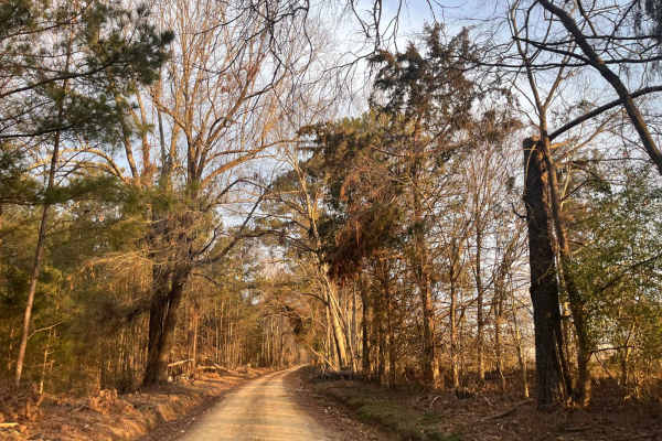
Ephrian Road
Come and check out some of the Sumter National Forest and what it has to offer. The road is a sand, gravel, and red clay mix. As you drive down through the southern pine forests and single-lane roads, you will come across a variety of wildlife as it darts in and out of the roadway. You will pass ove...
Learn more about Ephrian Road
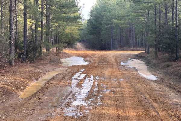
Loop De Loop Road
Loop De Loop Road is exactly how it is described. It is a compacted sand, gravel, and red clay mix road that throws some adventure your way. It has several hills that can be challenging either way you enter. The red clay gives you a chance to tighten your grip on the wheel as you navigate this route...
Learn more about Loop De Loop Road

Cedar Springs (618)
Cedar Springs (618) is a well-maintained service road within Sumter National Forest. This road offers beautiful views of the forest while providing a fun driving experience due to several areas holding water after rainfall. The road is passable by most vehicles, however, caution should be practiced ...
Learn more about Cedar Springs (618)
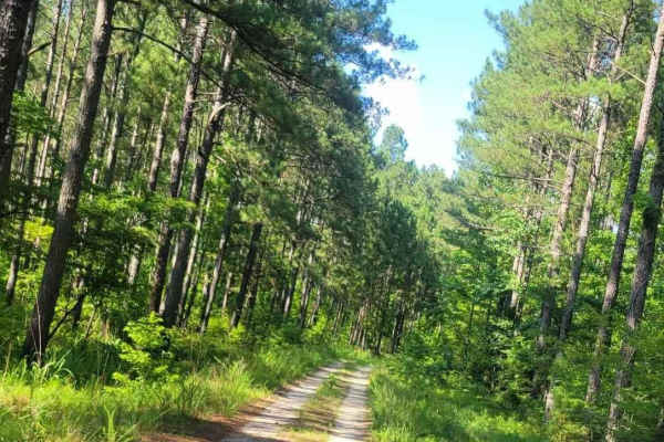
Pearl Branch Road (611)
Pearl Branch Road (611) is a somewhat well-maintained service road within Sumter National Forest. This road offers a few areas for the adventurous off-roader to explore while maintaining ease of access along the main route. A left turn along this road (611a) provides access to Turkey Creek if you wa...
Learn more about Pearl Branch Road (611)
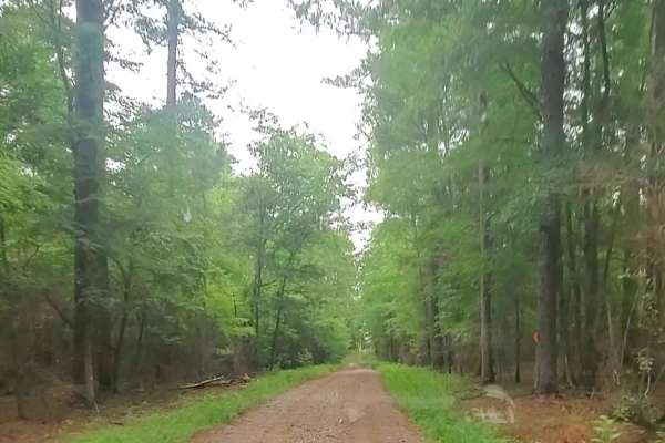
Price Road (615)
Price Road (Forest Service Road 615) is an easy 3.6-mile dirt route through the Long Cane Ranger District of Sumter National Forest, connecting Price's Mill Road and Deerfield Road. The well-maintained, flat, hard-packed dirt surface rises gently from 290 feet to 412 feet and is passable year-round ...
Learn more about Price Road (615)

Wildplum Road
This is a mild challenging road that throws you off at first due to its name. This road will take you through some rough terrain that will make you hope you packed some recovery gear. The road is mostly red clay, compacted sand, and light gravel mix. It has several hills that are rutted and contain ...
Learn more about Wildplum Road

Stevens Creek (632)
Stevens Creed Road (632) traverses a portion of the Sumter National Forest, leading to the Modoc Hiking Trailhead. The majority of the road is well maintained however, rutty road conditions may be encountered throughout with some large mud holes that cannot be avoided depending on recent weather con...
Learn more about Stevens Creek (632)

Round Up Road
A scenic road winding through the countryside close to the small towns that surround it. This road offers beautiful views of the forest while providing some fun driving experience on the washouts, small rock crops, and clay mud stretches. This road has single-lane bridge crossings with some blind cu...
Learn more about Round Up Road
Log Creek Road
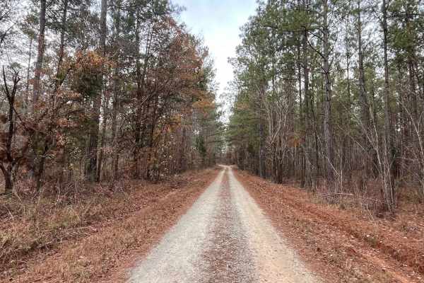
As you enter the road, you will see remains of an old railroad bed that used to be the backbone of a freight train that ran nationwide. The road consists of different terrain features that has sand, clay, mud, and gravel. Sit back and enjoy the single-lane bridge crossings along with the winding cur...
Learn more about Log Creek Road

Hosannah Road (643-643A)
This short route travels through a portion of the Sumter National Forest. The road is a well-maintained service road that provides beautiful scenery and is accessible with minimal vehicle clearance. Logging may be encountered throughout the route as it is normal practice in the area of the National ...
Learn more about Hosannah Road (643-643A)
South Carolina Adventure Route Segment 2
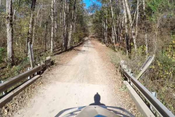
Segment 2 of the South Carolina Adventure Route wanders between the towns of Edgefield and Westminster, traversing one of the three sections of Sumter National Forest along the way. The trail through this region is an idyllic slice of South Carolina, a mix of pavement and gently rolling gravel roads...
Learn more about South Carolina Adventure Route Segment 2
Beginner ATV trails near Bradley, South Carolina
Explore ATV-friendly trails near you. These trails are accessible for vehicles up to 50 inches wide, perfect for ATVs and smaller off-road machines.
Campsite Road
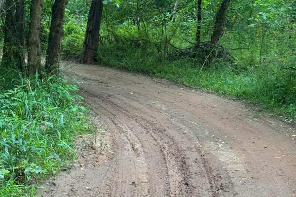
Provides access to Campsites 2 through 6. This area is riddled with short twisties that can get you turned around easily. Keep track of the map so you don't get lost getting back to camp. Keep in mind that a few of the mudholes can be very deep- stay out, or you might need a rescue.
Learn more about Campsite Road
Water Cooler
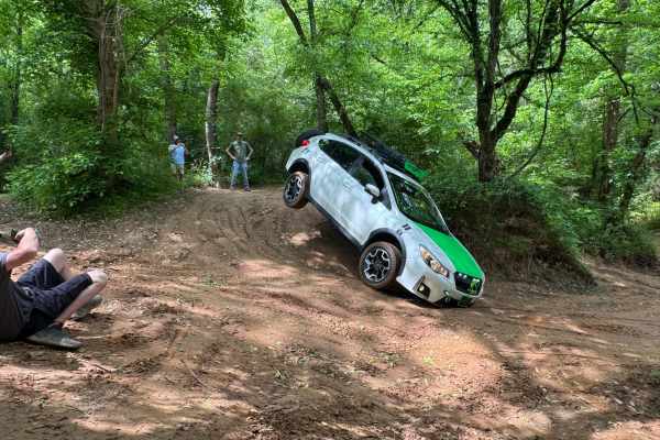
Water Cooler trail may look like a straightforward loop, but in reality, it is a maze of tight twisties in the sand. Great place to practice wheeling in off-camber situations as well as testing your rig's flex and balance. Easy sand trails, but watch out for standing water, it changes with the tide ...
Learn more about Water Cooler

River Road
West side perimeter road following the river at the bottom of the hill. Portions may flood if the river is up. Easy 2-way trail, but can be VERY muddy. Stay out of the water- It's DEEP! River Road provides access to the lower entry or exit points of many of the park's trails. It also runs through t...
Learn more about River Road
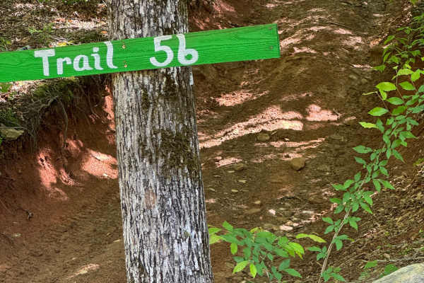
Trail 56
This is a two-way trail that provides another green route between Trail 1 on the upper part of the park to River Road on the lower part of the park. Keep to the right going downhill to stay on the green trail, or pick the hard side on Trail 56 Ledge for the added fun of an area of rock ledges.
Learn more about Trail 56
Beginner UTV/side-by-side trails near Bradley, South Carolina
Find UTV and side-by-side trails near you. These trails accommodate vehicles up to 60 inches wide, ideal for UTVs, side-by-sides, and wider off-road rigs.
Campsite Road
Provides access to Campsites 2 through 6. This area is riddled with short twisties that can get you turned around easily. Keep track of the map so you don't get lost getting back to camp. Keep in mind that a few of the mudholes can be very deep- stay out, or you might need a rescue.
Learn more about Campsite Road
Water Cooler
Water Cooler trail may look like a straightforward loop, but in reality, it is a maze of tight twisties in the sand. Great place to practice wheeling in off-camber situations as well as testing your rig's flex and balance. Easy sand trails, but watch out for standing water, it changes with the tide ...
Learn more about Water Cooler
River Road
West side perimeter road following the river at the bottom of the hill. Portions may flood if the river is up. Easy 2-way trail, but can be VERY muddy. Stay out of the water- It's DEEP! River Road provides access to the lower entry or exit points of many of the park's trails. It also runs through t...
Learn more about River Road
Trail 56
This is a two-way trail that provides another green route between Trail 1 on the upper part of the park to River Road on the lower part of the park. Keep to the right going downhill to stay on the green trail, or pick the hard side on Trail 56 Ledge for the added fun of an area of rock ledges.
Learn more about Trail 56
The onX Offroad Difference
onX Offroad combines trail photos, descriptions, difficulty ratings, width restrictions, seasonality, and more in a user-friendly interface. Available on all devices, with offline access and full compatibility with CarPlay and Android Auto. Discover what you're missing today!
Open Trail Map