
Beginner Off-Road Trails
Near Boykin, Georgia
Explore All Beginner Trails Near Boykin, Georgia
Beginner Off-Road Trails Near Boykin, Georgia
Discover the best beginner-friendly off-road trails near you. These easier, lower-rated trails are a great place to start — browse trail maps, check difficulty ratings, and find your next adventure.
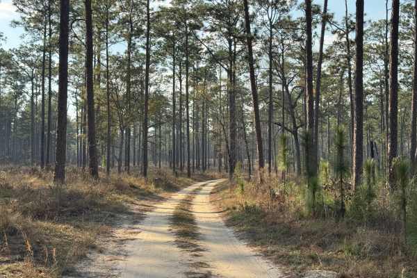
Lake Lane
Lake Lane is the primary entrance into the western section of the Silver Lake WMA. The management office and maintenance buildings will be the first things you pass as you enter the WMA. The trail surface is primarily packed dirt with several grassy sections. There is only one pothole that tends to ...
Learn more about Lake Lane
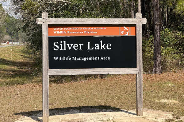
East Entrance Trail
East Entrance Trail is the primary entrance to the eastern side of the Silver Lake WMA. As with most Georgia WMAs, a valid hunting or fishing license is required to access the WMA property. The East End Trail is primarily packed dirt with a crushed rock surface. The trail is almost two vehicles wide...
Learn more about East Entrance Trail
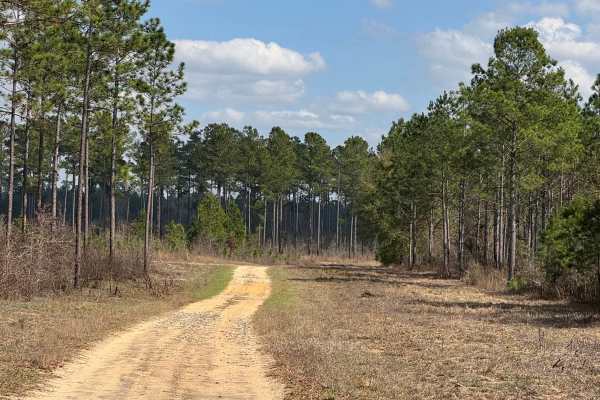
East Side Loop
The East Side loop is a combination of three trail segments making up the south, east, and north sections of the loop. The south segment is level packed dirt with a few shallow potholes that may hold water in wet weather. The east segment is also packed dirt with a few gentle grades. The north segme...
Learn more about East Side Loop

Star Pond Trail
Star Pond Trail is an out-and-back trail leading to one of the managed fishing ponds in the Silver Lake WMA. The trail is mostly grass with some areas that are prone to potholes or ruts that have been remediated with crushed rock to provide a stable surface. The trail crosses a slight ridge (110') a...
Learn more about Star Pond Trail
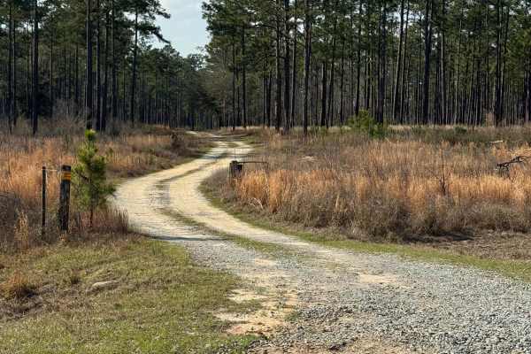
Frog Pond Road
Frog Pond Road trail is an interesting winding trail through pine forest that features its namesake, Frog Pond, about a half mile from its eastern end at the intersection with Yates Spring Road. Several sections also feature mature oaks with plenty of Spanish Moss to make for a picturesque drive. Th...
Learn more about Frog Pond Road
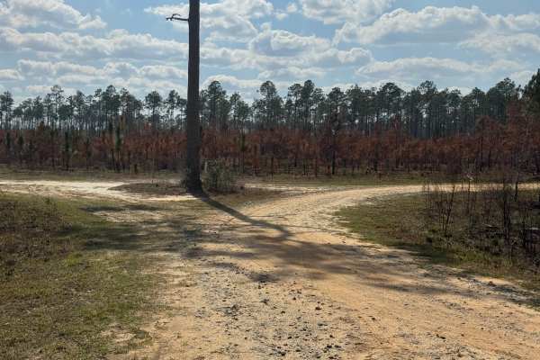
Morning Star Road
Morning Star Road trail is a slightly winding drive through stands of old and young southern pine trees, scrub, and flatlands. A slight hill near the east end of the trail provides an excellent elevated view of the WMA property. Morning Star provides a connector between East End Loop and the lower p...
Learn more about Morning Star Road
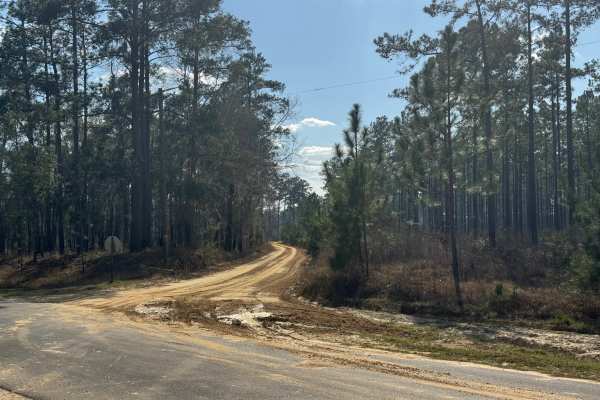
Ten Mile Still Road
With a name like Ten Mile Still Road, you would think there was some interesting history to go along with the name. Unfortunately, an internet search came up empty. The fact that the distance from its intersection with Hwy 253 to the end at the Ten Mile Still boat ramp is right at ten miles might gi...
Learn more about Ten Mile Still Road
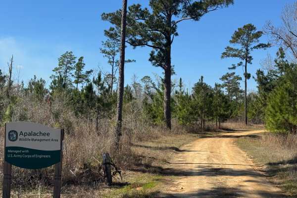
Rock Pond Road
Rock Pond Road winds through the northern part of Section A of the Apalachee WMA. Unlike other roads through the Apalachee WMA, Rock Pond Road is generally open year-round outside of defined game hunting periods. Rock Pond Road is a relatively flat, packed dirt trail with several soft areas that wil...
Learn more about Rock Pond Road
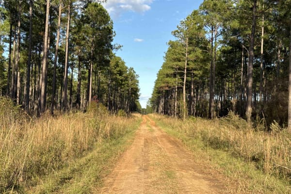
Pine Island Road
The Pine Island Road connects GA-62 at the north end and the Seven Bridge Road at the south end. The trail gives you access to the Mike Commander Shooting Range at the Chickasawhatchee Wildlife Management Area. The road conditions are a mixture of packed sand, loose sand, and some deep holes that ca...
Learn more about Pine Island Road
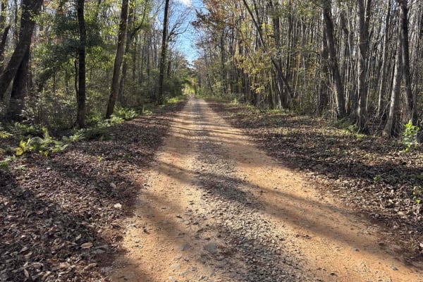
Chickasawhatchee Road
The Chickasawhatchee Road connects the north entrance at GA-62 and the west entrance at GA-37. The trail gives you access to the Campground and several other trails in the Chickasawhatchee Wildlife Management Area. The road conditions are a mixture of packed sand, loose sand and some deep holes that...
Learn more about Chickasawhatchee Road
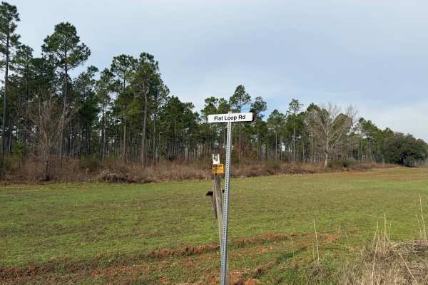
Flat Hole Loop
Flat Hole Loop runs through the southeastern quadrant of the Chickasawhatchee Wildlife Management Area (WMA). Only street-legal, registered, and licensed vehicles are permitted. Additionally, the Georgia Department of Natural Resources (GADNR) requires individuals to be in possession of the Georgia ...
Learn more about Flat Hole Loop
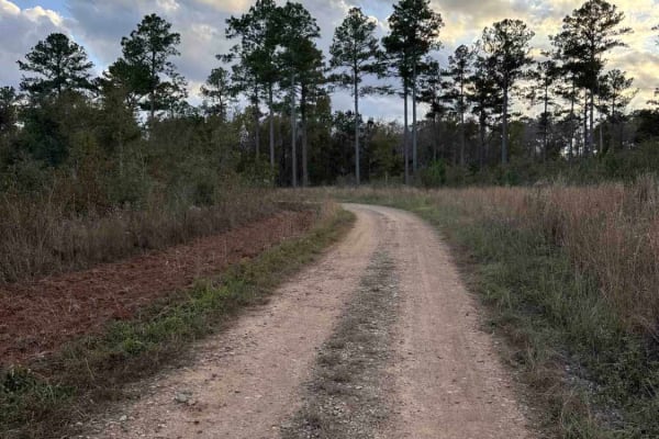
Mud Creek Road
The Mud Creek Road connects GA-62 at the north entrance and the Seven Bridge Road at the south end. The trail gives you access to the Gut Pit and several other trails in the Chickasawhatchee Wildlife Management Area. The road conditions are a mixture of packed sand, loose sand, and some deep holes t...
Learn more about Mud Creek Road
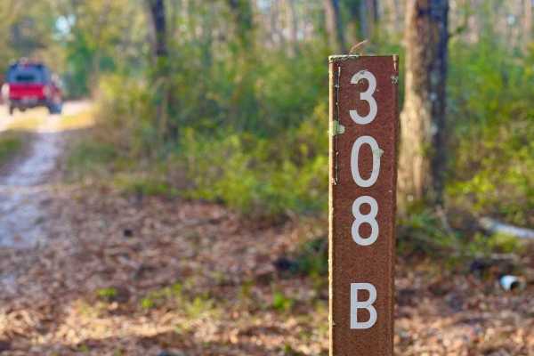
FS 308-B
Trail 308B is a dynamic single-lane sandy route that offers a bit of everything for the adventurous driver. Starting along the edge of private property, the trail quickly transitions into deeper forest terrain. Early sections reveal visible tornado damage, adding a raw and rugged feel to the landsca...
Learn more about FS 308-B
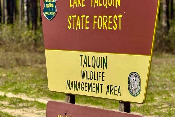
Turkey Flat Road
This freshly graded trail offers a smooth and easy ride, leading to a super cool 1800s-era cemetery on Florida State Forest land. Located within the Highway 20 Tract of the Lake Talquin State Forest, this area is rich in history and natural beauty. The surrounding forest provides a peaceful setting ...
Learn more about Turkey Flat Road
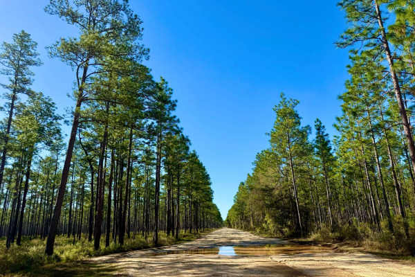
Buckhorn North - FS 360
This sandy and bumpy trail makes for a great connector route, linking to various parts of the forest and offering plenty of opportunities for further exploration. While most of the route is manageable, be prepared for one particularly muddy section that may require four-wheel drive. The trail winds ...
Learn more about Buckhorn North - FS 360
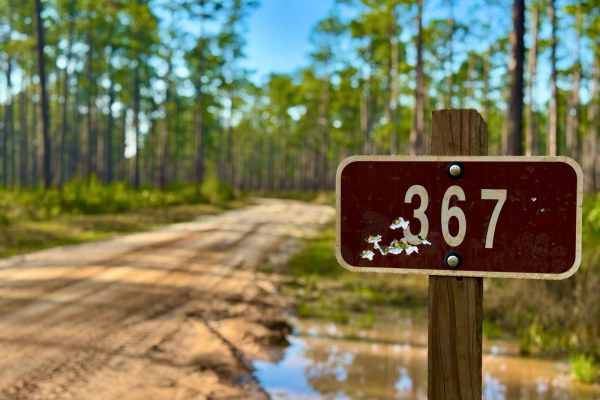
Gibson Trail- FS 367
Gibson Trail (Forest Service Road 367) is a sandy route with varying terrain, winding through a beautiful stand of mature pines. Rated a 2 in difficulty, it's an easy and enjoyable forest cruise perfect for a relaxing ride or beginner-friendly exploration. This trail also connects to a large interse...
Learn more about Gibson Trail- FS 367
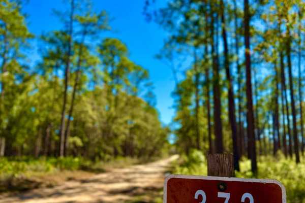
Whites Trail 373
A classic Florida Forest Service road, this route offers a mix of wet and sandy terrain that makes for an enjoyable ride through the woods. While mostly well-traveled, there is a section where the road becomes very narrow due to a culvert washout--exercise caution when passing through. Occasional so...
Learn more about Whites Trail 373
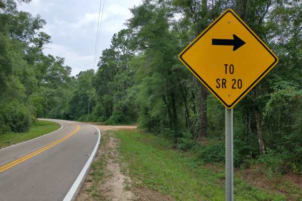
HW 20 Parrallel
Scenic Washboard dirt road running across the National Forest. During the Spring and Summer months a very beautiful green foliage can be seen. There are dozens of Florida butterflies, and other wildlife that to be seen in the area as well. Two built bridges on the West half of the trail allow access...
Learn more about HW 20 Parrallel
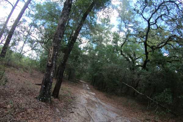
FS 11B
FS 11B is located within the Apalachicola National Forest. This bi-directional, 50-inch wide trail features a primarily flat terrain composed of smooth, hard-packed sand that makes for a fast and stable ride. While the route was originally designated for two-wheel dirt bikes only, it has since evol...
Learn more about FS 11B
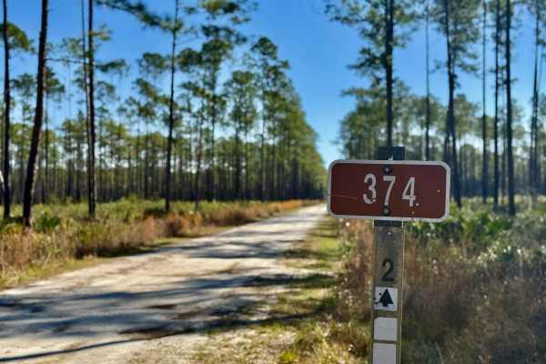
Love Trail FS-374
This sandy, one-lane trail winds through a beautiful tall pine forest, offering a peaceful and scenic drive. With tons of offshoots and spur trails branching off, there are plenty of opportunities for exploration and potential camping spots. The reasonably smooth terrain makes for an easy ride, thou...
Learn more about Love Trail FS-374
Beginner ATV trails near Boykin, Georgia
Explore ATV-friendly trails near you. These trails are accessible for vehicles up to 50 inches wide, perfect for ATVs and smaller off-road machines.
Pine Island Road
The Pine Island Road connects GA-62 at the north end and the Seven Bridge Road at the south end. The trail gives you access to the Mike Commander Shooting Range at the Chickasawhatchee Wildlife Management Area. The road conditions are a mixture of packed sand, loose sand, and some deep holes that ca...
Learn more about Pine Island Road
Chickasawhatchee Road
The Chickasawhatchee Road connects the north entrance at GA-62 and the west entrance at GA-37. The trail gives you access to the Campground and several other trails in the Chickasawhatchee Wildlife Management Area. The road conditions are a mixture of packed sand, loose sand and some deep holes that...
Learn more about Chickasawhatchee Road
Mud Creek Road
The Mud Creek Road connects GA-62 at the north entrance and the Seven Bridge Road at the south end. The trail gives you access to the Gut Pit and several other trails in the Chickasawhatchee Wildlife Management Area. The road conditions are a mixture of packed sand, loose sand, and some deep holes t...
Learn more about Mud Creek Road
FS 308-B
Trail 308B is a dynamic single-lane sandy route that offers a bit of everything for the adventurous driver. Starting along the edge of private property, the trail quickly transitions into deeper forest terrain. Early sections reveal visible tornado damage, adding a raw and rugged feel to the landsca...
Learn more about FS 308-B
Beginner UTV/side-by-side trails near Boykin, Georgia
Find UTV and side-by-side trails near you. These trails accommodate vehicles up to 60 inches wide, ideal for UTVs, side-by-sides, and wider off-road rigs.
Pine Island Road
The Pine Island Road connects GA-62 at the north end and the Seven Bridge Road at the south end. The trail gives you access to the Mike Commander Shooting Range at the Chickasawhatchee Wildlife Management Area. The road conditions are a mixture of packed sand, loose sand, and some deep holes that ca...
Learn more about Pine Island Road
Chickasawhatchee Road
The Chickasawhatchee Road connects the north entrance at GA-62 and the west entrance at GA-37. The trail gives you access to the Campground and several other trails in the Chickasawhatchee Wildlife Management Area. The road conditions are a mixture of packed sand, loose sand and some deep holes that...
Learn more about Chickasawhatchee Road
Mud Creek Road
The Mud Creek Road connects GA-62 at the north entrance and the Seven Bridge Road at the south end. The trail gives you access to the Gut Pit and several other trails in the Chickasawhatchee Wildlife Management Area. The road conditions are a mixture of packed sand, loose sand, and some deep holes t...
Learn more about Mud Creek Road
FS 308-B
Trail 308B is a dynamic single-lane sandy route that offers a bit of everything for the adventurous driver. Starting along the edge of private property, the trail quickly transitions into deeper forest terrain. Early sections reveal visible tornado damage, adding a raw and rugged feel to the landsca...
Learn more about FS 308-B
The onX Offroad Difference
onX Offroad combines trail photos, descriptions, difficulty ratings, width restrictions, seasonality, and more in a user-friendly interface. Available on all devices, with offline access and full compatibility with CarPlay and Android Auto. Discover what you're missing today!
Open Trail Map