
Beginner Off-Road Trails
Near Big Park, Arizona
Explore All Beginner Trails Near Big Park, Arizona
Beginner Off-Road Trails Near Big Park, Arizona
Discover the best beginner-friendly off-road trails near you. These easier, lower-rated trails are a great place to start — browse trail maps, check difficulty ratings, and find your next adventure.
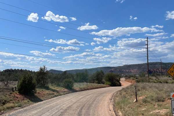
Alternative Access to Cathedral Rock
This short, maintained gravel road leads to the back side of the iconic Cathedral Rock. Along this road is Baldwin Trailhead. This hiking trailhead provides access to hiking trails to the most popular destination in Sedona, Cathedral Rock. The road ends at a turnaround that doesn't allow parking, bu...
Learn more about Alternative Access to Cathedral Rock
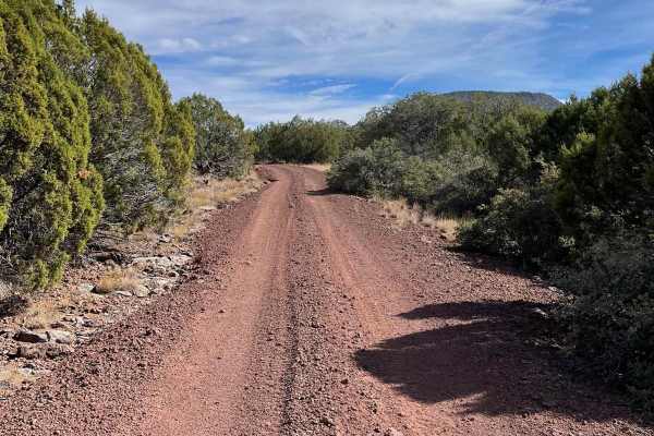
West FS 644
This trail is the final 1.5 miles of Forest Service 644 and is a maintained gravel road. This is a very easy-going trail with a few small rocky areas. The road travels from East to West and does allow camping on either side of the trail. The trail ends at a turnaround on the western end of the trail...
Learn more about West FS 644
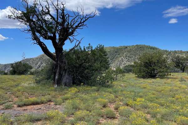
Committee Tank Trail
Committee Tank Trail stretches just over one mile long and is a portion of FS 9494F. The surface of this trail alternates between dirt and rocks. The trail is relatively flat and takes you past Committee Tank which will be on your right. After passing this tank, the trail becomes much more rocky as ...
Learn more about Committee Tank Trail
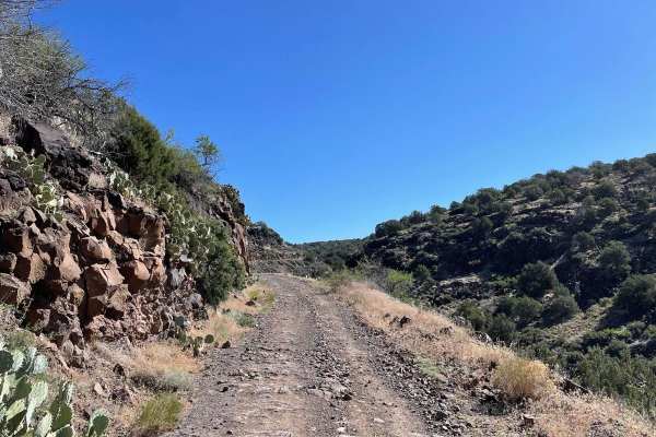
FS 689
Forest Service Road 689 starts off of Beaver Creek Road and travels north. This trail allows you to travel from Beaver Creek Road to Stoneman Lake Road without having to use I-17. The first section of this trail is a maintained dirt road. This southern section offers the majority of the dispersed ca...
Learn more about FS 689
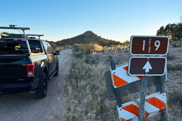
Montezuma Well
Montezuma Well is a wide well-maintained gravel road between Beaver Creek Road and Rimrock. It's a through route that descends 300 ft in elevation with a panoramic view of the Verde valley and mountains. Dispersed camping can be found in several spots along this road with many spur roads and trails.
Learn more about Montezuma Well
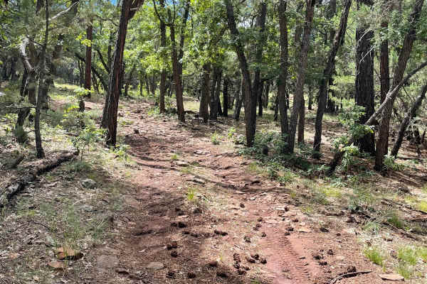
Scrub Oak Bypass
This short trail connects Forest Road 9495F with Forest Road 9494F. The majority of this trail is dirt with a small rock garden as you start to traverse up a small hill climb. At the end of this small climb, is a small section of loose rocks all over the trail's surface. This short trail takes you t...
Learn more about Scrub Oak Bypass
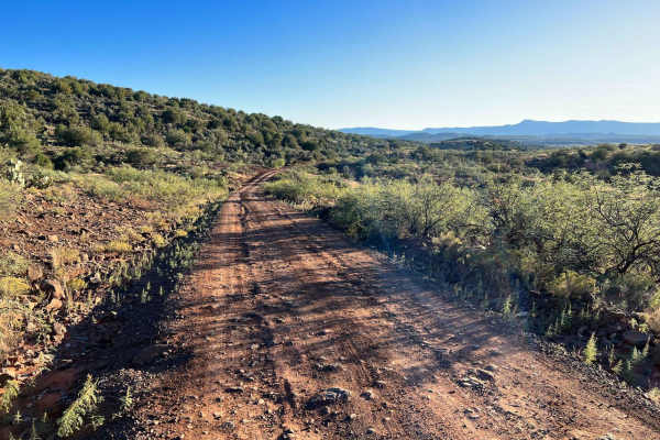
Soda Springs
Soda Springs is seasonally open for recreation and camping, consisting mostly of compact dirt and gravel. It's wide and smooth with a few washouts to keep a lookout for. No longer a through route, it ends at Lawrence Crossing dispersed tent camping area along Wet Beaver Creek. The dirt and rock road...
Learn more about Soda Springs
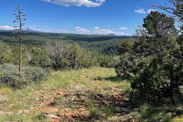
FS 9499G to Viewpoint
This short trail starts at the beginning of Forest Road 9499G and rolls through the ponderosas of the Coconino National Forest. The vast majority of this trail is an easy-going dirt road that has some potential for a few mud holes. The last part of this trail becomes much more rocky and ends at a ni...
Learn more about FS 9499G to Viewpoint
Schnebly Hill Radio Towers
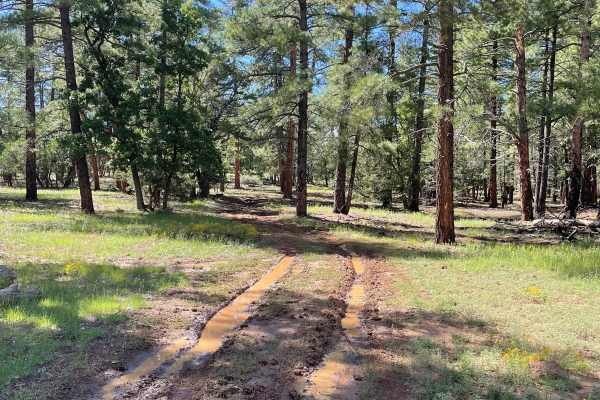
This short trail takes you up across Shnebly Hill and down to Schnebly Hill Trail which is a guided route. This trail is a dirt road that has some small erosion ruts from water runoff. After a good rain, there is potential for some small mud holes. There are a few small rocky surfaces on this trail ...
Learn more about Schnebly Hill Radio Towers
FS 6352
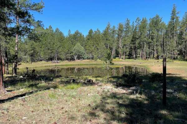
FS 6352 starts off of North FS 80 Guided Trail and travels West. As you begin to travel, the trail starts off a little rocky and transitions from rocky areas to a dirt trail. The trail then intersects with FS 80A and snakes toward Robbers Roost Tank. After Robbers Roost Tank, the trail has several a...
Learn more about FS 6352
Lower Oak Creek Access #3
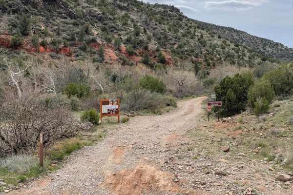
This trail is mostly a maintained dirt road except for the last part that hugs Oak Creek. There are several designated camping sites along this trail. The trail becomes covered with river rock once you start traveling next to Oak Creek. There are several places to pull over when you are next to Oak ...
Learn more about Lower Oak Creek Access #3
525 to 795 Palatki Heritage Site
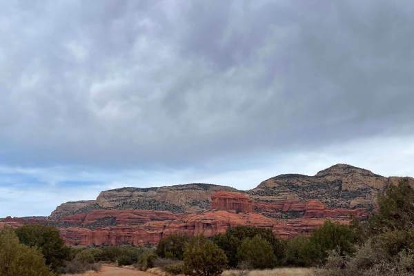
This well-maintained road takes you through the Red Rock District of the Coconino National Forest. Starting on FS Road 525, it turns onto FS Road 795 which leads you to the Palatki Heritage Site. This historical site has ancient ruins and well-preserved petroglyphs. Most 2WD vehicles can travel this...
Learn more about 525 to 795 Palatki Heritage Site
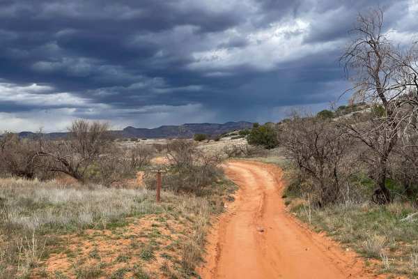
Ranch Loop OHV
This OHV trail clocks in right at 8 miles long and provides beautiful views of Sedona on the north end. This is a very popular trail and you are almost guaranteed to see others driving/riding. The route has many different surfaces, ranging from dirt, sand, rock, and gravel. The sandy areas are not d...
Learn more about Ranch Loop OHV
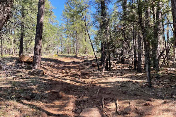
FS 6352A
Forest Service Road 6352A is a short dirt trail with rocky sections off and on the entire way. The rockiest area is right off of the junction with Cub Tank Trail, which consists of a light incline with rocks and exposed tree roots to navigate over. From there, this trail eases through the ponderosas...
Learn more about FS 6352A
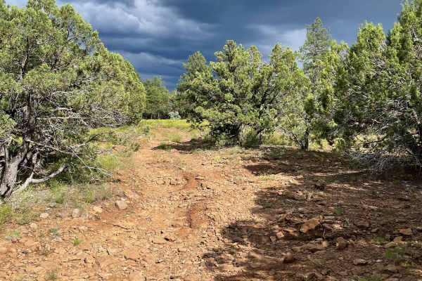
FS 153E
Forest Road 153E stretches just over two miles long and starts off of Schnebly Hill Road. As you start the trail, you will see two dispersed camping spots on your left. The trail travels to the Northwest and becomes more rocky the farther you go. The views on this trail are of Ponderosas, which give...
Learn more about FS 153E
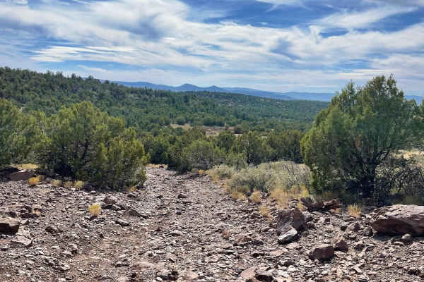
FS 9248G & 9245A
This trail makes a semi-loop around Round Mountain in the Coconino National Forest. The semi-loop consists of two forest service roads, which are 9248G and 9245A. Forest Road 9248G starts in the trail's northern section and contains many uneven erosion ruts from precipitation run-off. A few of these...
Learn more about FS 9248G & 9245A
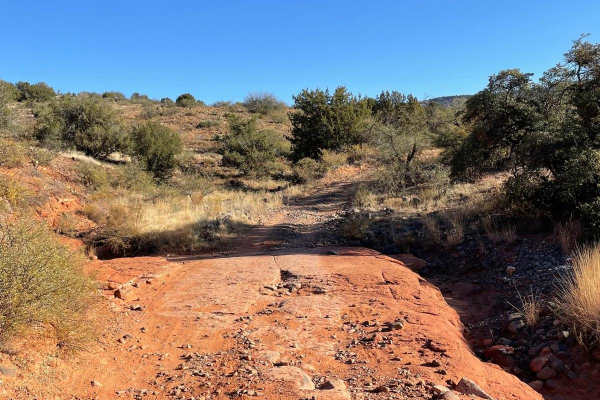
FS 618G
Forest Service Road 618G is a short dirt trail that ends at a turnaround. At this turnaround, there is a gate that only permits foot traffic. The majority of this road is a dirt surface with small rocky sections as you travel along. The rockiest section on this trail is a large rock outcropping that...
Learn more about FS 618G
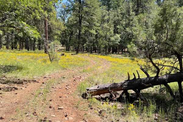
Cub Tank Trail
Cub Tank Trail starts at the beginning of Forest Service Road 80A and travels South. The first section of this trail, between the beginning of FS 80A and Dutch's Tank, is a pretty easy-going rocky dirt trail with potential for mud holes. As you pass the meadow around Dutch's Tank, the trail's surfac...
Learn more about Cub Tank Trail
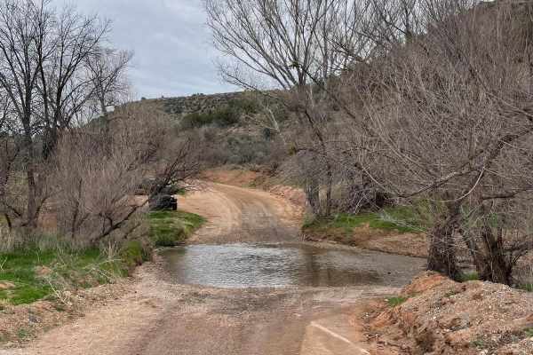
Lower Oak Creek Access #1
This 4-mile-long trail is laid back and a maintained dirt road. There is camping at the beginning of this trail that is on State Land. Be aware that you need a permit to camp on State Land in Arizona. The rest of the trip is on National Forest land with restrictions on camping. There are two water c...
Learn more about Lower Oak Creek Access #1
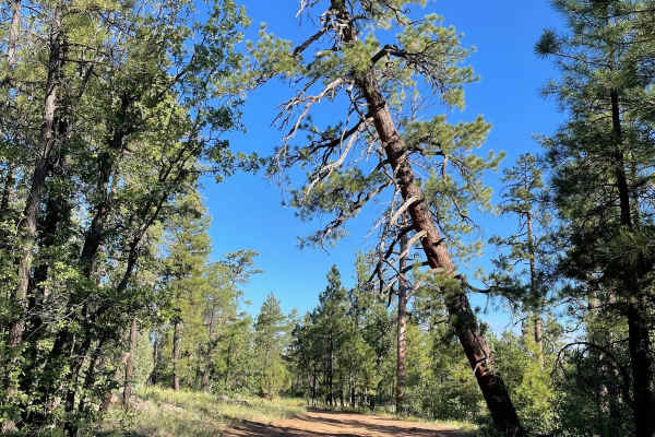
North FS 80
This Forest Service road starts adjacent to the I-17. The first mile you will be traveling close to the freeway that will be on your right. The trail's surface on this section is dirt with rocky sections. There are some areas in the first mile that are prone to having mud holes. As the trail veers o...
Learn more about North FS 80
Beginner ATV trails near Big Park, Arizona
Explore ATV-friendly trails near you. These trails are accessible for vehicles up to 50 inches wide, perfect for ATVs and smaller off-road machines.
Alternative Access to Cathedral Rock
This short, maintained gravel road leads to the back side of the iconic Cathedral Rock. Along this road is Baldwin Trailhead. This hiking trailhead provides access to hiking trails to the most popular destination in Sedona, Cathedral Rock. The road ends at a turnaround that doesn't allow parking, bu...
Learn more about Alternative Access to Cathedral Rock
West FS 644
This trail is the final 1.5 miles of Forest Service 644 and is a maintained gravel road. This is a very easy-going trail with a few small rocky areas. The road travels from East to West and does allow camping on either side of the trail. The trail ends at a turnaround on the western end of the trail...
Learn more about West FS 644
Committee Tank Trail
Committee Tank Trail stretches just over one mile long and is a portion of FS 9494F. The surface of this trail alternates between dirt and rocks. The trail is relatively flat and takes you past Committee Tank which will be on your right. After passing this tank, the trail becomes much more rocky as ...
Learn more about Committee Tank Trail
FS 689
Forest Service Road 689 starts off of Beaver Creek Road and travels north. This trail allows you to travel from Beaver Creek Road to Stoneman Lake Road without having to use I-17. The first section of this trail is a maintained dirt road. This southern section offers the majority of the dispersed ca...
Learn more about FS 689
Beginner UTV/side-by-side trails near Big Park, Arizona
Find UTV and side-by-side trails near you. These trails accommodate vehicles up to 60 inches wide, ideal for UTVs, side-by-sides, and wider off-road rigs.
Alternative Access to Cathedral Rock
This short, maintained gravel road leads to the back side of the iconic Cathedral Rock. Along this road is Baldwin Trailhead. This hiking trailhead provides access to hiking trails to the most popular destination in Sedona, Cathedral Rock. The road ends at a turnaround that doesn't allow parking, bu...
Learn more about Alternative Access to Cathedral Rock
West FS 644
This trail is the final 1.5 miles of Forest Service 644 and is a maintained gravel road. This is a very easy-going trail with a few small rocky areas. The road travels from East to West and does allow camping on either side of the trail. The trail ends at a turnaround on the western end of the trail...
Learn more about West FS 644
Committee Tank Trail
Committee Tank Trail stretches just over one mile long and is a portion of FS 9494F. The surface of this trail alternates between dirt and rocks. The trail is relatively flat and takes you past Committee Tank which will be on your right. After passing this tank, the trail becomes much more rocky as ...
Learn more about Committee Tank Trail
FS 689
Forest Service Road 689 starts off of Beaver Creek Road and travels north. This trail allows you to travel from Beaver Creek Road to Stoneman Lake Road without having to use I-17. The first section of this trail is a maintained dirt road. This southern section offers the majority of the dispersed ca...
Learn more about FS 689
The onX Offroad Difference
onX Offroad combines trail photos, descriptions, difficulty ratings, width restrictions, seasonality, and more in a user-friendly interface. Available on all devices, with offline access and full compatibility with CarPlay and Android Auto. Discover what you're missing today!
Open Trail Map