
Beginner Off-Road Trails
Near Arboles, Colorado
Explore All Beginner Trails Near Arboles, Colorado
Beginner Off-Road Trails Near Arboles, Colorado
Discover the best beginner-friendly off-road trails near you. These easier, lower-rated trails are a great place to start — browse trail maps, check difficulty ratings, and find your next adventure.
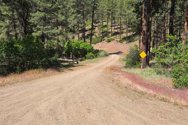
Bull Creek Trail - FS 682
The Bull Creek Trail begins approximately 2.9 miles on the right off of Fossett Gulch Road - FS 613. The trail begins as a dirt road, Bull Creek Road - FS 841, but quickly turns into the Bull Creek Trail. Most of the trail is very wide and easy to ride on. There is a gate near the beginning of the ...
Learn more about Bull Creek Trail - FS 682
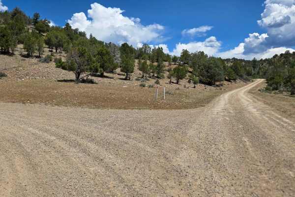
Turkey Creek A Road - FS 615
Turkey Creek A road is a dirt/gravel road that can be ridden as an extension of the Bull Creek Trail. It is important to note that this road will continue into the Southern Ute Land, which is not for public access, so please make sure you pay attention using your onX offroad map and don't go too far...
Learn more about Turkey Creek A Road - FS 615
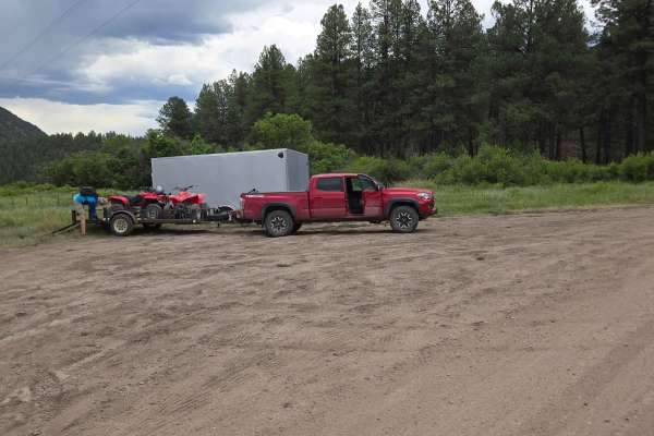
FS 613
Fossett Gulch Road - FS 613 is a forest service dirt road that begins right off of Highway 160. It is approximately 26 miles west on Highway 160 from downtown Pagosa Springs. There is an area right at the beginning of the road for parking and unloading. The road is very well maintained. There are c...
Learn more about FS 613
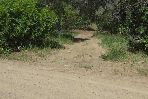
Little Bull Creek Trail - FS 683
Little Bull Creek Trail is a fun ATV/Dirt Bike Trail. The trail starts at the end of Fossett Gulch Road. The trail is located on the right of the road. Do not travel past the trail entrance, as this is Southern Ute land and there is no public access. There are several flat smooth areas where you can...
Learn more about Little Bull Creek Trail - FS 683
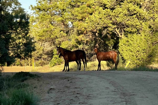
Carracas Mesa/ NFS 218
This trail isn't technically challenging and is well-maintained--if the drive up American Canyon was completed, there wouldn't be any problems driving Carracas mesa. The road is generally just wide enough for two vehicles but is graded regularly. A gravel road bed has been added in most places to k...
Learn more about Carracas Mesa/ NFS 218
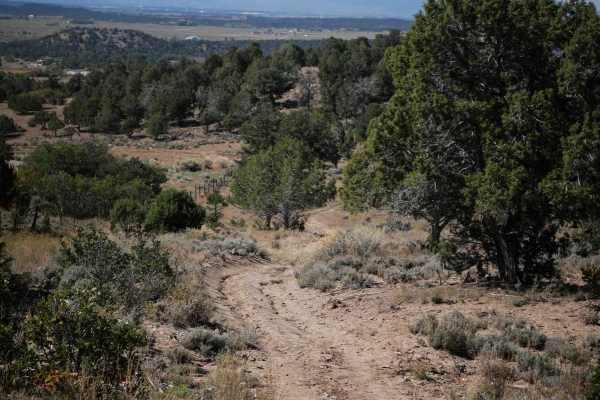
Reservoir Canyon
This 2.3-mile-long ATV trail starts off of Ute Creek, and has some steeper descents/climbs that are rutted with loose rocks, but also fast easy sections through wide open meadows and pinyon pine. It goes up and over small rolling hills as it heads south, traversing around the edges of the hills. It ...
Learn more about Reservoir Canyon
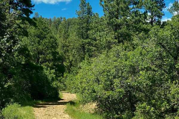
Devil Mountain-Fr Rd 626
Camping, Jeeping and Hunting on Devil Mountain-Fr Rd 626 There is some space when you first turn onto the trail from Hwy 160 to air up or down. After that area the Devil Mountain trail is pretty much uphill. The road is rocky so high clearance 4x4 vehicles are recommended as some of the climbs are s...
Learn more about Devil Mountain-Fr Rd 626
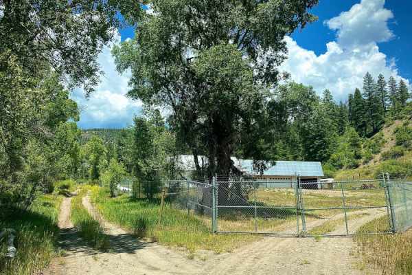
Devil Creek Wildlife Management Area-Fr Rd 627
The Devil Creek trail is a short trail leading to the 561 acre Devil Creek Wildlife Management area. Part way up the trail is a very interesting rock on your left. At the end of the trail is the parking area along with a few structures. Access past this point is by horse or foot only. There is no ca...
Learn more about Devil Creek Wildlife Management Area-Fr Rd 627
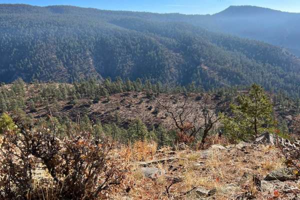
FR 708
This trail is lightly used, with the possibility of saplings and tall grass growing on the trail. You'll encounter loose rocks. It is mostly used by hunters for access to the southern portion of the First Notch area. 4WD is not required when dry, but the trail quickly becomes muddy and slippery with...
Learn more about FR 708
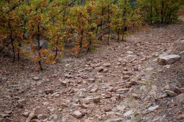
First Notch 1
The west end of First Notch 1 starts on First Notch Road, about 1.5 miles north of the staging area. The staging area is a dirt parking area on First Notch Road just a half mile north of Highway 160. This ATV trail goes through gambel oak bushes and ponderosa pine, on a hardpacked dirt trail with no...
Learn more about First Notch 1
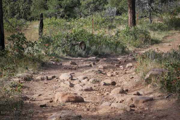
Horizon Loop
The Horizon Loop is a 3-mile ATV loop east of Bayfield, Colorado. It has sections of two-track through the forest, but part of the trail is on oil well access roads that are full-width gravel roads. The trail portions are accessible, being a wide path in the flat sagebrush valley or winding undernea...
Learn more about Horizon Loop
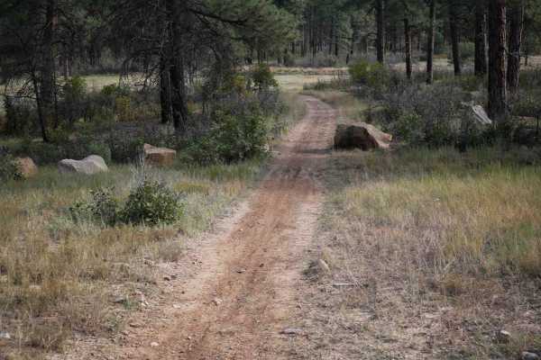
608 Connect- 694
608 Connect- 694 is an ATV trail that connects two portions of the Forest Service Road 608. The south end starts as an oil well access road past a gate, but there is a trail portion that ducks off to the west and makes a triangle off of the oil well road. It crosses the road again, then continues no...
Learn more about 608 Connect- 694
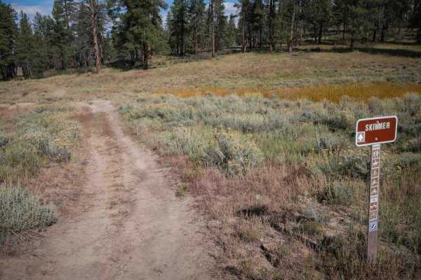
Skimmer Trail
Skimmer makes a 1.1-mile ATV loop off of the Horizon Loop. It's a dirt two-track that ducks off from the oil well access road portion of Horizon Loop. The trail has dips and ruts through the grassy meadows and ponderosa pine. It gradually curves through partially graded hillsides, but is pretty flat...
Learn more about Skimmer Trail
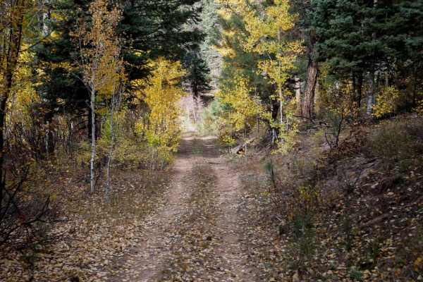
Mule Mountain Spur 1
This spur makes a loop off of Mule Mountain trail and Spur 2 for some extra mileage. It's an easy two-track with small loose rocks in the trail. It has a couple steep and loose hill climbs up through the oak bushes, and gets rocky and tight on the north end. It goes tightly between the bushes, with ...
Learn more about Mule Mountain Spur 1

First Notch Connect
This is an easy 1-mile connector trail between First Notch 3 and 2. It goes straight and fast through the forest, with small rocks in the trail, small ruts, and past big open meadows. It doesn't have any major obstacles but could have the potential for downfall as there are lots of downed trees on t...
Learn more about First Notch Connect
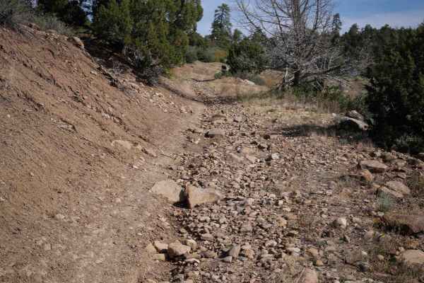
Lange Canyon
Lange Canyon ATV trail makes a 5.4-mile loop off 608 Road in the San Juan National Forest in the trail system east of Bayfield, Colorado. The route has many sections on oil well access roads that are full-width gravel roads, but also has many sections of easy trail winding through the forest. It goe...
Learn more about Lange Canyon
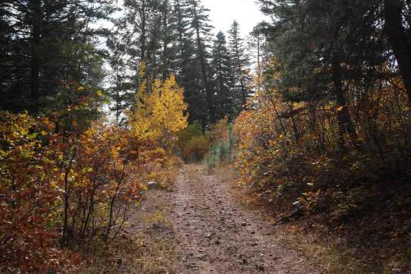
Mule Mountain Spur 2
This spur makes a loop off of Mule Mountain Trail to add some easy extra mileage to your ride. It's similar to the first spur, tightly maneuvering through the oak bushes. It has bits of loose and embedded rock, but not as much as other nearby trails. From the north end, it descends a couple hundred ...
Learn more about Mule Mountain Spur 2

First Notch 2
This is a really easy 50" trail off of First Notch Road that is popular for hunting access and ATV riding. It has small embedded and loose rocks but is generally fast and straight and easy. The north end starts on First Notch 3 trail, and it curves around until it ends on First Notch Road, crossing ...
Learn more about First Notch 2
Black Draw
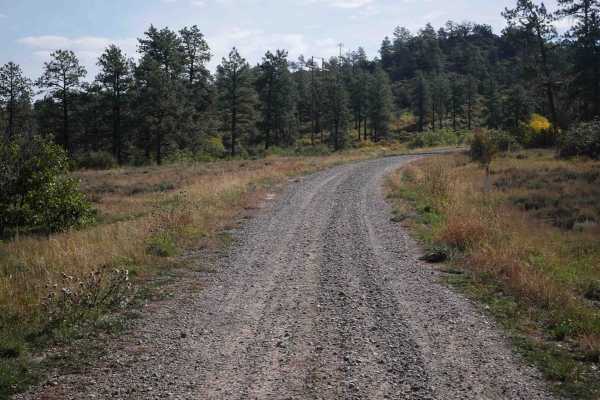
Trail 699 is a short ATV trail through the San Juan National Forest on a full-width oil well access road that has been repurposed into a trail for 50" vehicles. The south end is a continuation of the Lange Canyon trail on the access road. The north end of the trail stops at the gate to the oil well,...
Learn more about Black Draw
First Notch 3
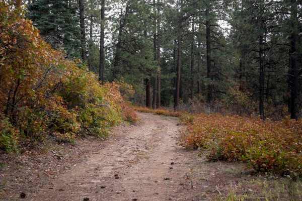
The north end of this 2.2-mile-long ATV trail starts at a small parking area on First Notch Road and enters behind a gate. It's a wide dirt path with ruts and small rocks through scrub oak and ponderosa pine, with long straight easy sections. After 1.3 miles, it makes a sharp turn to the west rather...
Learn more about First Notch 3
Beginner ATV trails near Arboles, Colorado
Explore ATV-friendly trails near you. These trails are accessible for vehicles up to 50 inches wide, perfect for ATVs and smaller off-road machines.
Bull Creek Trail - FS 682
The Bull Creek Trail begins approximately 2.9 miles on the right off of Fossett Gulch Road - FS 613. The trail begins as a dirt road, Bull Creek Road - FS 841, but quickly turns into the Bull Creek Trail. Most of the trail is very wide and easy to ride on. There is a gate near the beginning of the ...
Learn more about Bull Creek Trail - FS 682
Turkey Creek A Road - FS 615
Turkey Creek A road is a dirt/gravel road that can be ridden as an extension of the Bull Creek Trail. It is important to note that this road will continue into the Southern Ute Land, which is not for public access, so please make sure you pay attention using your onX offroad map and don't go too far...
Learn more about Turkey Creek A Road - FS 615
FS 613
Fossett Gulch Road - FS 613 is a forest service dirt road that begins right off of Highway 160. It is approximately 26 miles west on Highway 160 from downtown Pagosa Springs. There is an area right at the beginning of the road for parking and unloading. The road is very well maintained. There are c...
Learn more about FS 613
Little Bull Creek Trail - FS 683
Little Bull Creek Trail is a fun ATV/Dirt Bike Trail. The trail starts at the end of Fossett Gulch Road. The trail is located on the right of the road. Do not travel past the trail entrance, as this is Southern Ute land and there is no public access. There are several flat smooth areas where you can...
Learn more about Little Bull Creek Trail - FS 683
Beginner UTV/side-by-side trails near Arboles, Colorado
Find UTV and side-by-side trails near you. These trails accommodate vehicles up to 60 inches wide, ideal for UTVs, side-by-sides, and wider off-road rigs.
FS 613
Fossett Gulch Road - FS 613 is a forest service dirt road that begins right off of Highway 160. It is approximately 26 miles west on Highway 160 from downtown Pagosa Springs. There is an area right at the beginning of the road for parking and unloading. The road is very well maintained. There are c...
Learn more about FS 613
Carracas Mesa/ NFS 218
This trail isn't technically challenging and is well-maintained--if the drive up American Canyon was completed, there wouldn't be any problems driving Carracas mesa. The road is generally just wide enough for two vehicles but is graded regularly. A gravel road bed has been added in most places to k...
Learn more about Carracas Mesa/ NFS 218
Devil Mountain-Fr Rd 626
Camping, Jeeping and Hunting on Devil Mountain-Fr Rd 626 There is some space when you first turn onto the trail from Hwy 160 to air up or down. After that area the Devil Mountain trail is pretty much uphill. The road is rocky so high clearance 4x4 vehicles are recommended as some of the climbs are s...
Learn more about Devil Mountain-Fr Rd 626
Chris Mountain Road - FS 681
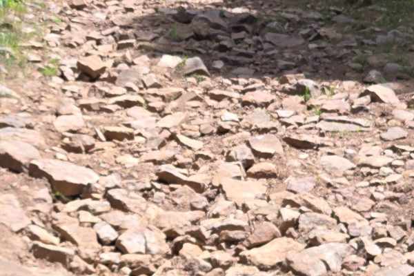
Chris Mountain Road is a moderately challenging, fun trail that starts from the south end of the trail at Snow Ranch Road (FR628). The trail has multiple areas of rocky terrain that can be challenging for a beginning rider on an ATV or motorcycle, as it can really bounce you around. The beginning of...
Learn more about Chris Mountain Road - FS 681
The onX Offroad Difference
onX Offroad combines trail photos, descriptions, difficulty ratings, width restrictions, seasonality, and more in a user-friendly interface. Available on all devices, with offline access and full compatibility with CarPlay and Android Auto. Discover what you're missing today!
Open Trail Map