
Beginner Off-Road Trails
Near Alton, Missouri
Explore All Beginner Trails Near Alton, Missouri
Beginner Off-Road Trails Near Alton, Missouri
Discover the best beginner-friendly off-road trails near you. These easier, lower-rated trails are a great place to start — browse trail maps, check difficulty ratings, and find your next adventure.
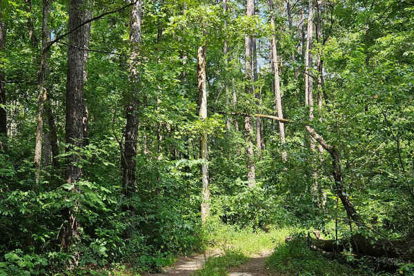
Boom Hole Access - FSR 3155B
After passing through the McCormack Lake Picnic Area, continue onto Forest Service Road 3155B. This trail winds through the forest until it reaches the Eleven Point River. Starting as a well-maintained forest service road, it later transitions into a gravel/dirt surface. Midway, the trail narrows an...
Learn more about Boom Hole Access - FSR 3155B
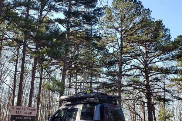
Mark Twain NF Trail
This is an easy scenic trail meandering through the forest trails and back roads of Mark Twain National Forest. The roads are a mix of dirt/gravel forestry and county roads. In the general area, there are several hiking, biking, and NF recreation areas. Dispersed camping spots can be found throughou...
Learn more about Mark Twain NF Trail
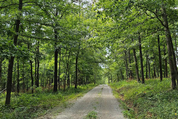
Wolf Mountain - FSR 3213
FSR 3213 can be accessed from either end, running from U.S. Route 160 to MO V. This well-maintained gravel forest service road is suitable for most vehicles. As it winds up Wolf Mountain, you'll enjoy beautiful views of the Mark Twain National Forest. Upon reaching the summit of Wolf Mountain, at 92...
Learn more about Wolf Mountain - FSR 3213
Turkey Knob 3145
Turkey Knob 3145 is an easy gravel road that takes you off-road from highway 60 south to highway 160 and is 23.8 miles long. When you first turn off of highway 60, you will find signs on the Decline of the Shortleaf Pine which is a collaborative project with several organizations to help bring the s...
Learn more about Turkey Knob 3145
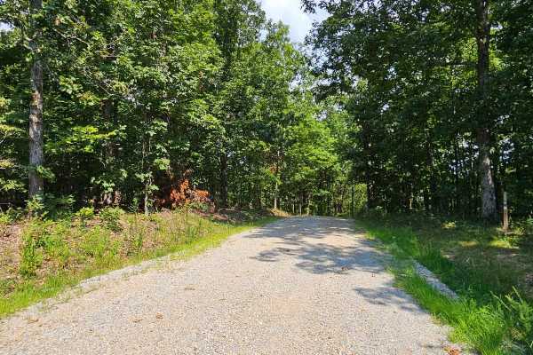
Camp Roy - FSR 3208
This trail begins as a well-maintained gravel surface forest service road. It continues as such for approximately half the distance of the trail up until you reach a large open grass area. This area is large enough for several vehicles to park at once and would make a great campsite. This area can b...
Learn more about Camp Roy - FSR 3208
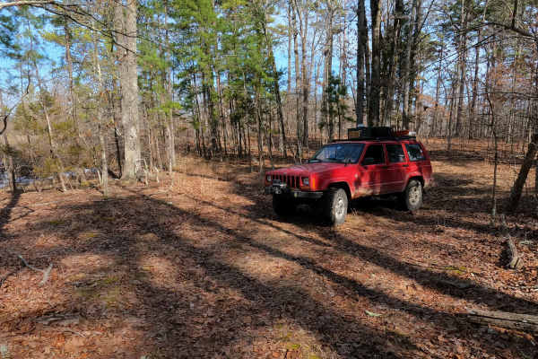
Tucker Road - FS 4099
Tucker Road (FS 4099) is a gravel, leaning into natural dirt forest road, within the Mark Twain National Forest, Doniphan / Eleven Point Unit. Tucker Road begins on the north shoulder of US Route 60 heading north into the woods, climbing uphill along the highway clearing, to turn into the dense wood...
Learn more about Tucker Road - FS 4099
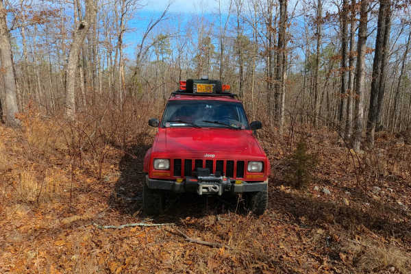
Exchange - FS 4101
Exchange (FS 4101) is a gravel and dirt forest service road within the Mark Twain National Forest, Doniphan / Eleven Point Unit. Exchange starts on the north shoulder of US-60 heading east-northeast into the woods, first climbing up the right-of-way embankment along the highway to meet the FS ID mar...
Learn more about Exchange - FS 4101
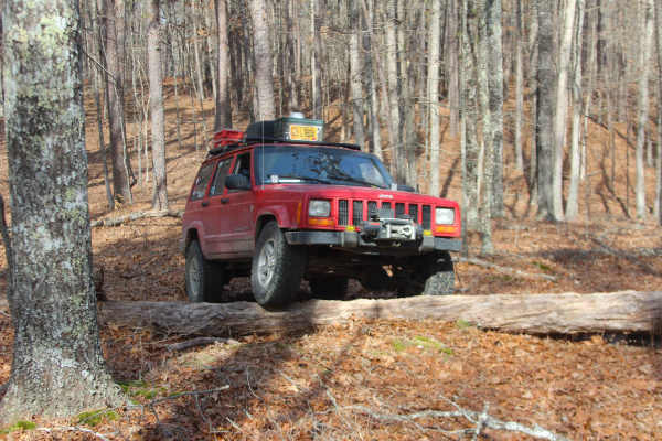
Ebb Spring - FS 4100
Ebb Spring (FS 4100) is a natural terrain forest service road within the Mark Twain National Forest, Doniphan / Eleven Point Unit. Ebb Spring is a short adventure starting from the north shoulder of US Route 60 heading north into the woods, passing the spur with a gate on the right at the entry, to ...
Learn more about Ebb Spring - FS 4100
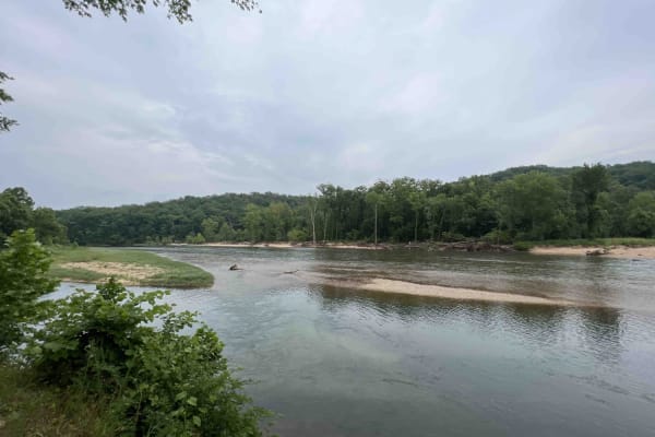
Gooseneck 3412
Gooseneck 3412 is a beautiful scenic drive along an easy gravel road that is well-maintained through the Mark Twain National Forest. This route is situated just southwest of Grandin, Missouri on the Current River in the Ozark National Scenic Riverway. This route leads to the Gooseneck Campground whe...
Learn more about Gooseneck 3412
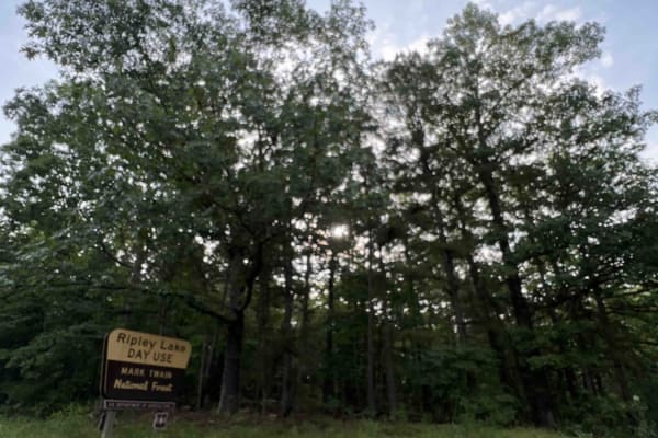
Ripley Lake 3240
Ripley Lake 3240 is a short easy well maintained gravel road to Ripley Lake which is a 20 acre 12 foot deep lake. There you can find picnic areas with barbeque pits and boat docks for fishing. Anglers will need a fishing permit from the Missouri Department of Conservation. The only downside is ther...
Learn more about Ripley Lake 3240
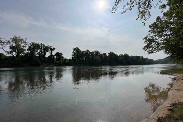
Compton 3144
Compton 3144 is nestled in the beautiful and scenic Mark Twain National Forest located just west of Doniphan, Missouri. Compton 3144 is not advised for low clearance vehicles due to a water crossing right near the end of the trail. It's also really steep at the end and curves through the forest with...
Learn more about Compton 3144
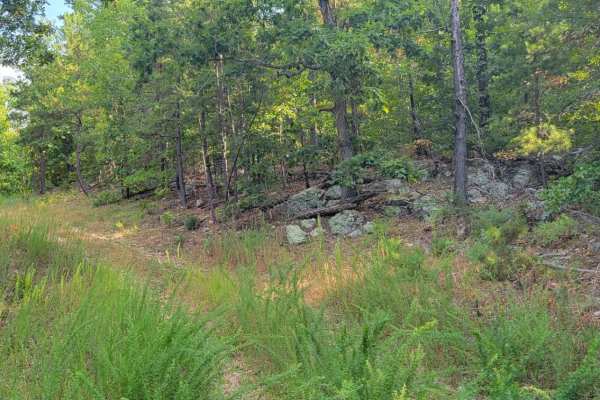
Overgrowth Spur
The Overgrowth Spur runs North to South through Mark Twain National Forest in Missouri. This trail offers dispersed campsites if chosen with creativity. There are plenty of pull-off locations in case of traffic. Fallen trees blocking the trail are likely. This forest has spotty service, so be sure t...
Learn more about Overgrowth Spur
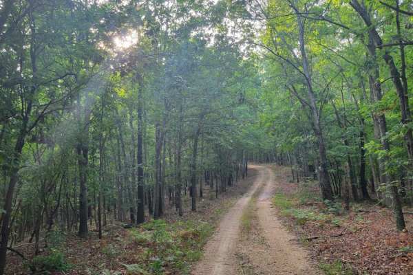
Gooseneck Trail
Gooseneck Trail is an easy and scenic unpaved route through the Mark Twain National Forest, perfect for stock SUVs and beginner offroaders looking to explore Missouri's dense woodlands. Spanning approximately 2.7 miles, this trail offers a peaceful drive with a maximum elevation of 841 feet and mild...
Learn more about Gooseneck Trail
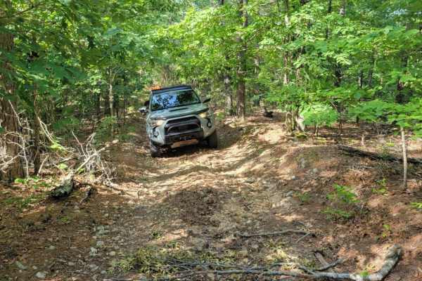
Cave Spoon
The Cave Spoon runs North to South through Mark Twain National Forest in Missouri. This trail offers dispersed campsites if chosen with creativity. There are plenty of pull-off locations in case of traffic. Fallen trees blocking the trail are likely, as well as pinstripes. This forest has spotty ser...
Learn more about Cave Spoon
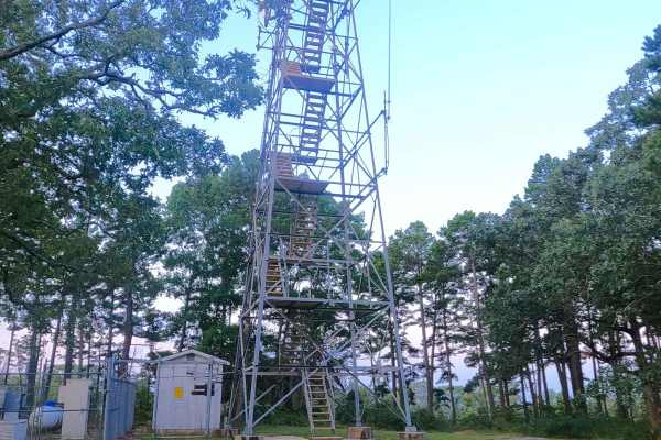
Stegall Tower - CCR 159
Stegall Tower, Carter County Road 159, or simply Stegall Mountain Road, is a simple gravel-based road to the Missouri Department of Conservation Fire Tower and land on Stegall Mountain. The road is simple and graceful, with generally well-maintained gravel, a single water splash crossing, and mild e...
Learn more about Stegall Tower - CCR 159
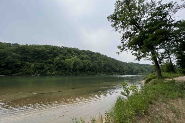
Bay Nothing Recreation Area 3140
Forest Road 3140 starts at an elevation of 748 feet and then drops to an elevation of 381 feet at the river. This route is an easy gravel road that curves through the Mark Twain National Forest which is located in Missouri. 3140 ends at the Current River which is a part of the Ozark National Scenic ...
Learn more about Bay Nothing Recreation Area 3140
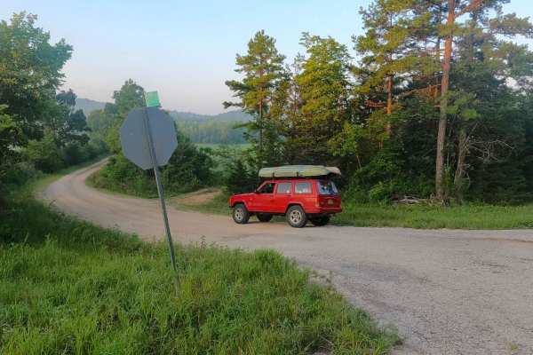
Rocky Falls - SCR 526
Rocky Falls or Shannon County Road 526 is a gravel and natural creek road within the Ozark National Scenic Riverway, Rocky Creek Missouri Department of Conservation Area, and Shannon County land. The road traverses through the hollows and hills surrounding the famous swimming hole and point of inter...
Learn more about Rocky Falls - SCR 526
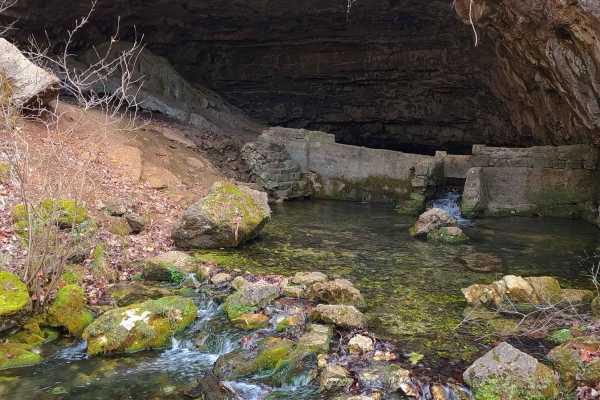
Cave Spring - NPS 105
Cave Spring Road, National Park Service 105, or Carter County 235, is a gravel road within Carter County and Ozark National Scenic Riverways land. The road leads north from Missouri Route E over small hills and elevation changes before hitting a mild uphill grade, passing a dispersed campsite area, ...
Learn more about Cave Spring - NPS 105
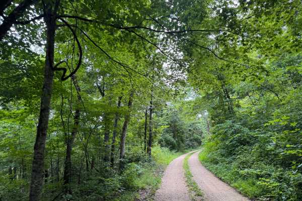
Culpepper Cemetery Road - 106
This is an easy, well-maintained loose gravel road. If you’re lucky, you can see local wildlife like deer and even wild horses in the pastures. Even though it’s well maintained it does pose the risk of flooding and possible water over the road. It crosses private property on the sides, so please be ...
Learn more about Culpepper Cemetery Road - 106
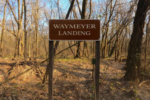
Waymeyer Landing - NPS 215
Waymeyer Landing or National Park Service Road 215 is a sand and natural gravel road to the boat launch area of the same name, located along the Current River within the Ozark National Scenic Riverways. The logistical relevance of this road is undeniable, whether running kayaks, tubes, or rigs from/...
Learn more about Waymeyer Landing - NPS 215
Beginner ATV trails near Alton, Missouri
Explore ATV-friendly trails near you. These trails are accessible for vehicles up to 50 inches wide, perfect for ATVs and smaller off-road machines.
Boom Hole Access - FSR 3155B
After passing through the McCormack Lake Picnic Area, continue onto Forest Service Road 3155B. This trail winds through the forest until it reaches the Eleven Point River. Starting as a well-maintained forest service road, it later transitions into a gravel/dirt surface. Midway, the trail narrows an...
Learn more about Boom Hole Access - FSR 3155B
Wolf Mountain - FSR 3213
FSR 3213 can be accessed from either end, running from U.S. Route 160 to MO V. This well-maintained gravel forest service road is suitable for most vehicles. As it winds up Wolf Mountain, you'll enjoy beautiful views of the Mark Twain National Forest. Upon reaching the summit of Wolf Mountain, at 92...
Learn more about Wolf Mountain - FSR 3213
Turkey Knob 3145
Turkey Knob 3145 is an easy gravel road that takes you off-road from highway 60 south to highway 160 and is 23.8 miles long. When you first turn off of highway 60, you will find signs on the Decline of the Shortleaf Pine which is a collaborative project with several organizations to help bring the s...
Learn more about Turkey Knob 3145
Camp Roy - FSR 3208
This trail begins as a well-maintained gravel surface forest service road. It continues as such for approximately half the distance of the trail up until you reach a large open grass area. This area is large enough for several vehicles to park at once and would make a great campsite. This area can b...
Learn more about Camp Roy - FSR 3208
Beginner UTV/side-by-side trails near Alton, Missouri
Find UTV and side-by-side trails near you. These trails accommodate vehicles up to 60 inches wide, ideal for UTVs, side-by-sides, and wider off-road rigs.
Boom Hole Access - FSR 3155B
After passing through the McCormack Lake Picnic Area, continue onto Forest Service Road 3155B. This trail winds through the forest until it reaches the Eleven Point River. Starting as a well-maintained forest service road, it later transitions into a gravel/dirt surface. Midway, the trail narrows an...
Learn more about Boom Hole Access - FSR 3155B
Wolf Mountain - FSR 3213
FSR 3213 can be accessed from either end, running from U.S. Route 160 to MO V. This well-maintained gravel forest service road is suitable for most vehicles. As it winds up Wolf Mountain, you'll enjoy beautiful views of the Mark Twain National Forest. Upon reaching the summit of Wolf Mountain, at 92...
Learn more about Wolf Mountain - FSR 3213
Turkey Knob 3145
Turkey Knob 3145 is an easy gravel road that takes you off-road from highway 60 south to highway 160 and is 23.8 miles long. When you first turn off of highway 60, you will find signs on the Decline of the Shortleaf Pine which is a collaborative project with several organizations to help bring the s...
Learn more about Turkey Knob 3145
Camp Roy - FSR 3208
This trail begins as a well-maintained gravel surface forest service road. It continues as such for approximately half the distance of the trail up until you reach a large open grass area. This area is large enough for several vehicles to park at once and would make a great campsite. This area can b...
Learn more about Camp Roy - FSR 3208
The onX Offroad Difference
onX Offroad combines trail photos, descriptions, difficulty ratings, width restrictions, seasonality, and more in a user-friendly interface. Available on all devices, with offline access and full compatibility with CarPlay and Android Auto. Discover what you're missing today!
Open Trail Map