Free 3-Month onX Hunt Elite Membership
Join the millions of hunters who trust onX Hunt to help them be more successful in the field. Route, plan, and navigate with private and public land boundaries, 3D satellite and topographic Basemaps, Offline Maps, and hunt-specific layers such as historic wildfires, possible access, GMUs, and much more.
Key Features
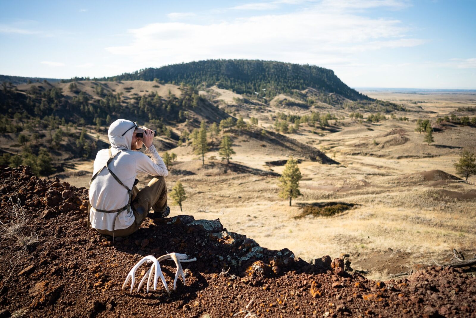
Use these features to find more success from the whitetail woods to the mountains of the West.

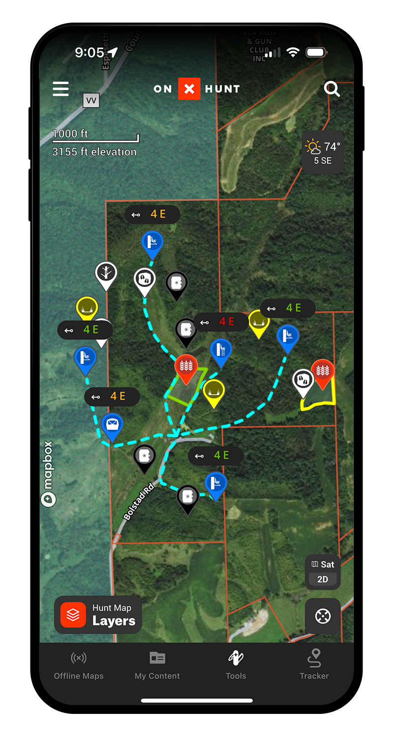
Nationwide Public & Private Land Boundaries
Color-coded public and private land ownership boundaries allow you to easily find your own property, public ground, and land ownership information including names and tax addresses. Learn More.
Map Roads and Entrance/Exit Routes
onX Hunt uses your phone’s built-in GPS technology to display your location with a blue dot. Use the Tracker to record your exact route to easily map out undetected entrance and exit paths to your stand locations as well as road systems throughout your property. Learn More.

Custom Map Tools
Customizable Waypoints, Lines, and Tracks will help you build out every detail of your property. Whether you’re planting a food plot, managing your trail cameras, planning entrance and exit strategies, or hanging new stand locations the onX Hunt App has tools for every aspect of managing the property you hunt. Learn More.
Measure Precise Food Plots
Use the Area Shape Tool to measure the exact acreage of your food plot to ensure you aren’t over or under seeding or fertilizing, in turn saving you money . Learn More.
Satellite, Topo, and Hybrid Basemaps
Understand the lay of the land like never before with the Hybrid Basemap, a combination of satellite imagery and a 1:24k topographic map. Learn More.

Offline Maps
No service needed. Save detailed maps of the property you hunt to ensure you always have the tools you need at your fingertips. Learn More.