
Recent Imagery for Whitetail Hunting
Use case examples to help you get the most out of Recent Imagery.
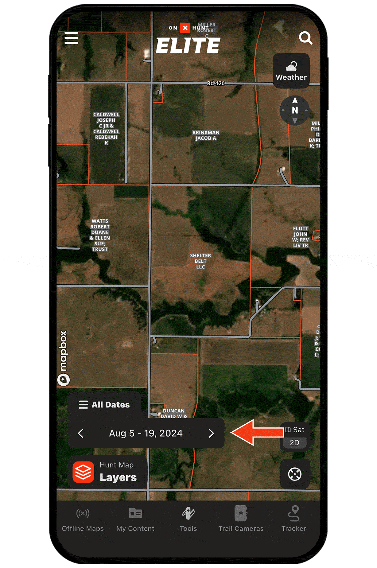
Monitor ag fields and crop harvests.
Recent Imagery shows you which fields are still holding crops and which have been cut, key intel when targeting evening food sources and staging areas. If a cornfield near your hunting spot was just harvested, expect deer to shift toward nearby cover but continue feeding on leftover grain.
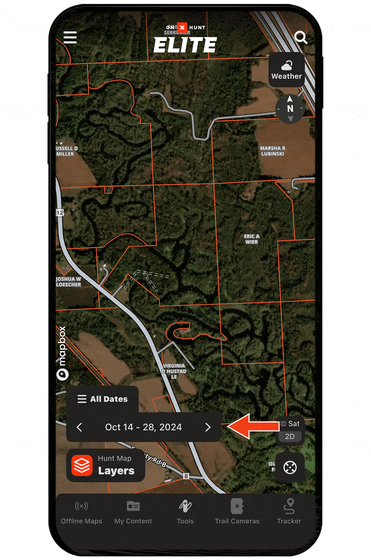
Check water levels and swamp conditions.
Use Recent Imagery to see if a swampy bedding area has dried up or if rising water is pushing deer to higher ground. These changes can quietly alter bedding locations and travel routes, giving you a chance to reposition stands or adjust access routes before your next hunt.
Explore More Whitetail Hunting Capabilities

Wind & Weather
View weather forecasts, wind conditions, and more.

Lidar
Uncover terrain details in high definition.
Deer Movement Forecast
Understand the odds of increased deer activity on your hunt.
Trail Camera Analysis
Chart deer movement patterns by wind direction and speed, time of day, and season.