Near Main Trail
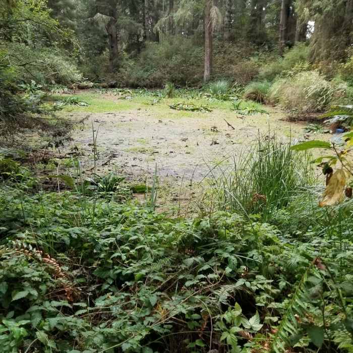
A view of Zipporah pond.
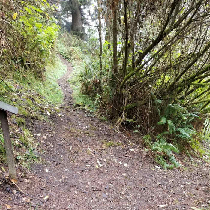
Near Main Trail
There are trail map signs at all trail intersections.

Looking for more photos?

View All Photos
Driving Directions
Hike Trail

Main Trail

4.0 (1 Rating)
This is the southernmost trail up to the Zipporah Pond, with a nice steady incline for approximately a mile.
0.7
mi
Distance
427
ft
Gain
strenuous
Difficulty
LakeWildflowersWildlife
Access Issues
The park is open from sunrise to sunset. There are no facilities in the park. The City of Ferndale maintains clean facilities at Fireman's Park and on Main Street next to the post office.

Route Details

Flatter
Steeper
0.67mi
Distance
427ft
Elevation Gain
31ft
Elevation Loss
20%
Max Grade
489ft
High Point
93ft
Low Point
Path Type
Point to Point
Description
The Main Trail is the least demanding incline to Zipporah Pond of the three routes available. You'll still be rewarded with a one-mile hike round-trip. As you begin the trail, you'll need to watch your step, as there are exposed root systems from the large spruce and fir trees. When you reach the pond, you'll be able to relax on nice redwood benches while you pick the next trail to conquer or return to the trailhead.

Route Conditions

Report Conditions
No Condition Reports
Report Conditions

Nearby Hike Routes

Russ Park Loop

Hike Route

Russ Park Loop

Birding
moderate
2.02 mi
+896 ft
The Lost Coast Trail

Hike Route

The Lost Coast Trail

Views
strenuous
25.2 mi
+731 ft
Ma-Le'l Dunes Trail

Hike Route

Ma-Le'l Dunes Trail

Dogs Allowed
easy
1.52 mi
+31 ft
Arcata Community Forest Tour

Hike Route

Arcata Community Forest Tour

moderate
4.9 mi
+907 ft
Founders' Grove Nature Trail

Hike Route

Founders' Grove Nature Trail

Family Friendly
easy
0.48 mi
+0 ft
Trinidad Head Loop

Hike Route

Trinidad Head Loop

Views
easy
1.34 mi
+657 ft
Contributors
Tim Brennan
