Near West Side Loop Trail
Bear Mountain is blanketed with snow while the desert remains dry.
Near West Side Loop Trail
The trails in Black Rock Canyon are all well marked with signs like these.
Near West Side Loop Trail
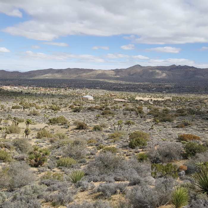
Part way up the trail, look back toward the campground for a sprawling view of your desert surroundings.
Near West Side Loop Trail
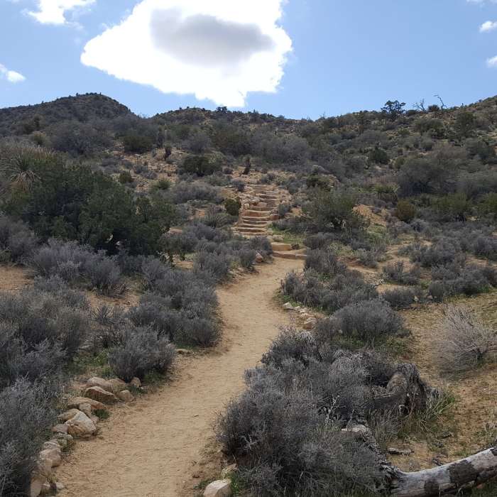
Traveling clockwise on the trail, the first set of steps is manageable.
Near West Side Loop Trail
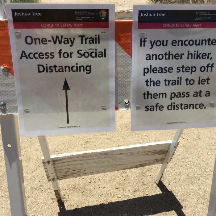
Glad to see things like this to keep it safe and distanced.

Looking for more photos?

View All Photos
Driving Directions
Hike Trail

West Side Loop Trail

4.4 (10 Ratings)
A grand trail leading into one of the most dense groves of Joshua trees in the area.
4.8
mi
Distance
977
ft
Gain
moderate
Difficulty
Family FriendlyViews
Access Issues
It can be incredibly hot during the summer, and it's recommended that you bring a gallon of water per person. This winter we had up to six inches of snow, so be sure to have appropriate footwear for the season.

Route Details

Flatter
Steeper
4.8mi
Distance
977ft
Elevation Gain
873ft
Elevation Loss
25%
Max Grade
4,527ft
High Point
3,955ft
Low Point
Path Type
Point to Point
Description
Right away, the trail starts a slow ascent as you head towards the west. Mount Morango will be on your left and there will be the Hi-View Nature Trail off to the south. As you continue on through, Bear Mountain will be visible in the distance straight ahead. If you are fortunate enough, there may be snow on the summit of the peak. Soon you start a southeast turn along some private property. As you start up this long slow climb through this valley, you'll be amazed by the number of Joshua trees. At about mile 2.5, you start a climb that has some short stepped sections. As you climb numerous switchbacks, you'll reach a number of false summits that present views to the mountains west of Palm Springs. Also, you'll be surprised at the population of Pinyon trees. Once you start your descent and the return to the trailhead, you enter a wash that will lead back down to the water tower that is above the campgrounds. Plan on taking two to three hours to work yourself around this loop. There are many vistas to take in.

Route Conditions

Report Conditions
No Condition Reports
Report Conditions

Nearby Hike Routes

West Side Loop via Black Rock Campground

Hike Route

West Side Loop via Black Rock Campground

Less Crowded
moderate
4.98 mi
+914 ft
Hi-View Nature Trail

Hike Route

Hi-View Nature Trail

Family Friendly
moderate
1.31 mi
+337 ft
Warren Peak + Panorama Loop

Hike Route

Warren Peak + Panorama Loop

Less Crowded
strenuous
7.69 mi
+1,720 ft
Joshua Tree Traverse

Hike Route

Joshua Tree Traverse

Views
extreme
36.3 mi
+3,026 ft
Warren Peak Out-and-Back

Hike Route

Warren Peak Out-and-Back

Views
moderate
5.62 mi
+1,131 ft
Black Rock Campground to Ryan Camp

Hike Route

Black Rock Campground to Ryan Camp

Views
extreme
38.42 mi
+4,761 ft
Contributors
Phil DiGirolamo
