Ready to explore this trail?
View Trail Map in AppParts of Skyland Trail has "Posted" signs. If the Old Class 6 Road were delineated better, the trail would not deviate off the public use footprint.
Path Type
Point to Point
From the Alexandria "Four Corners" south of the Cardigan AMC lodge, head north on Knowles Hill Rd a few hundred feet before veering NE onto Church Hill Rd (look for green sign). Keep heading NE until you see a utility pole with a double white blaze, this is the start of the Skyland Trail. The trail corridor is fairly easy to follow, but the less used path can be lost easily if you're not paying attention, especially in the fall with leaves on the ground.
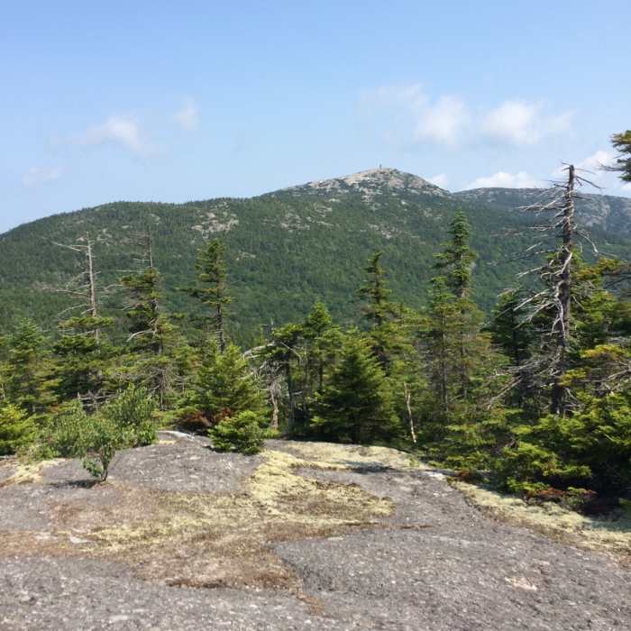
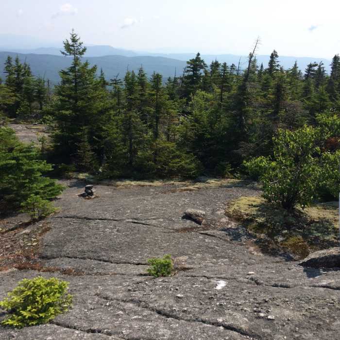
The trail bypasses the summit of Brown and Church mountains before intersecting the Woodland Trail. Further on the trail goes over Grafton Knob and then Crane Mountain, passing through a few cleared sections marked with cairns. A steep climb on Crane Mountain puts you atop the ridge proper and from there you'll go over Orange Mountain, intersecting the Vistamont Trail.
Continuing on the trail will climb to the southern shoulder of Mt. Cardigan, cutting across the West Ridge Trail before ending at a T-intersection on the South Ridge Trail.
No Condition Reports
Mount Cardigan via Holt Trail and Manning Trail
Mount Cardigan via Holt Trail and Manning Trail
Mt. Cardigan Super Loop
Mt. Cardigan Super Loop
Mount Cardigan via West Ridge Trail
Mount Cardigan via West Ridge Trail
Mount Cardigan via South Ridge Trail over Rimrock and South Peak
Mount Cardigan via South Ridge Trail over Rimrock and South Peak
Walter - Newton Loop
Walter - Newton Loop
Contributors

