Near Barlow Trail
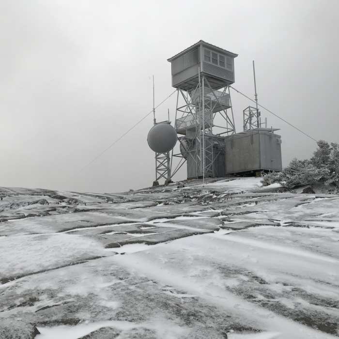
The frosty watch tower atop Kearsarge Mountain.
Near Barlow Trail
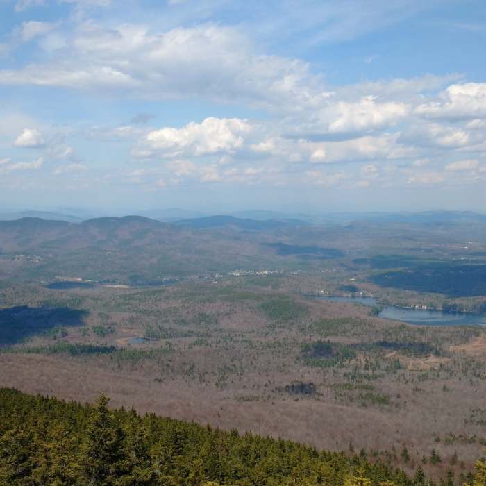
Springtime views are great from the Barlow Trail of Ragged Mountain and Bradley Lake. Proctor Academy is visible as well.
Near Barlow Trail
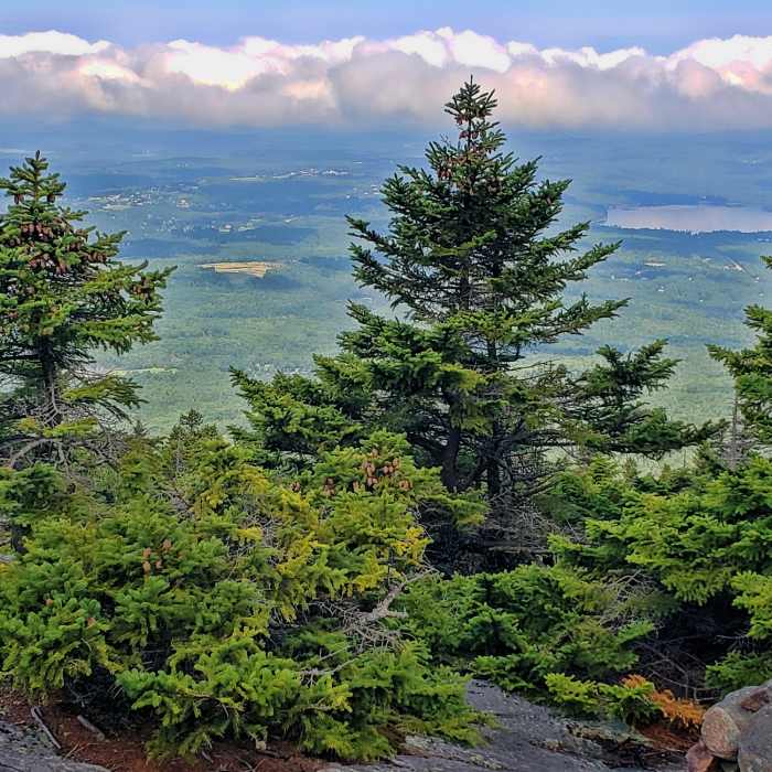
view from Winslow Trail, Pleasant Lake on right
Near Barlow Trail
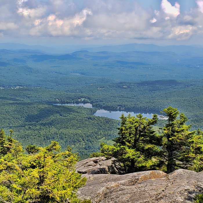
Bradley Lake from The Barlow Trail.

Looking for more photos?

View All Photos
View Map
Driving Directions
Hike Trail

Barlow Trail

4.5 (2 Ratings)
This is a longer, more gradual ascent of Kearsarge complete with several vistas to make the climb worth your while.
1.4
mi
Distance
1,077
ft
Gain
moderate
Difficulty
Fall ColorsViews
Access Issues
This trail is open mid-May through mid-October. An entrance fee of $4 for adults and $2 for children applies.

Route Details

Flatter
Steeper
1.37mi
Distance
1,077ft
Elevation Gain
0ft
Elevation Loss
30%
Max Grade
2,902ft
High Point
1,820ft
Low Point
Path Type
Point to Point
Description
The Barlow Trail is the primary SRKG (Sunapee, Ragged, Kearsarge Greenway) trail to the summit. It meanders through hardwood forest on the north side of the mountain before turning hard right after 0.6 mi. and attacking a moderate pitch of rocky terrain and sparse vegetation. About two thirds of the way to the summit, the trail opens up onto granite slabs, providing for some spectacular views of the surrounding towns and peaks. Just before the trail opens up above tree line, the trail swings to the west where it joins the Winslow Trail for a quick hop, skip and jump to the summit. Views from the fire tower allow one to see into all three surrounding states on a spectacularly clear day. On an average day, one can easily see the peaks of Southern VT and get great views on Sunapee, Monadnock, Ragged, and the White Mountains. Any offseason attempts at this trail need to factor in the Winslow State Park Road, which adds another mile to the trail from the gate to the trailhead.

Route Conditions

Report Conditions
No Condition Reports
Report Conditions

Nearby Hike Routes

Winslow State Park Loop

Hike Route

Winslow State Park Loop

Fall Colors
moderate
2.43 mi
+1,103 ft
Low Plain Loop

Hike Route

Low Plain Loop

easy
2.67 mi
+108 ft
Great Brook and Morgan Hill Loop

Hike Route

Great Brook and Morgan Hill Loop

moderate
4.75 mi
+947 ft
Clark Pond Loop

Hike Route

Clark Pond Loop

easy
1.55 mi
+71 ft
Knight's Hill Nature Park

Hike Route

Knight's Hill Nature Park

easy
1.81 mi
+250 ft
Chandler Reservation Loop

Hike Route

Chandler Reservation Loop

moderate
3.73 mi
+1,034 ft
Contributors
Chris Jones
