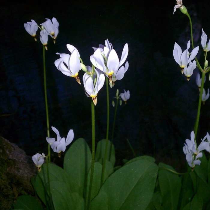
Near Iron Runner Trail
Shooting Star

Looking for more photos?

View All Photos
Driving Directions
Hike Trail

Iron Runner Trail

4.0 (1 Rating)
A nice forest hike.
3.1
mi
Distance
199
ft
Gain
moderate
Difficulty
BirdingFall ColorsWildlife

Route Details

Flatter
Steeper
3.12mi
Distance
199ft
Elevation Gain
199ft
Elevation Loss
20%
Max Grade
556ft
High Point
421ft
Low Point
Path Type
Loop
Description
A very relaxing, medium distance hike through the back half of Tannehill Ironworks Historical State Park. The inclines/declines are light to moderate, and the trail is easy to follow with no major obstacles. For an added bonus, if you venture just off the trail near the very back of the park, you'll can visit the old slave cemetery (which is also accessible from a separate marked and designated access trail).

Route Conditions

Report Conditions
No Condition Reports
Report Conditions

Nearby Hike Routes

Tannehill Ironworks Loop

Hike Route

Tannehill Ironworks Loop

Birding
strenuous
6.18 mi
+649 ft
Gristmill Trail

Hike Route

Gristmill Trail

Birding
moderate
0.57 mi
+32 ft
Powerline to Blue Trail Loop

Hike Route

Powerline to Blue Trail Loop

Fall Colors
moderate
1.45 mi
+182 ft
Boulder Gorge Loop

Hike Route

Boulder Gorge Loop

Fall Colors
moderate
2.02 mi
+233 ft
Peavine Falls and Peavine Gorge

Hike Route

Peavine Falls and Peavine Gorge

Fall Colors
moderate
1.76 mi
+513 ft
Intro to Red Mountain

Hike Route

Intro to Red Mountain

Fall Colors
easy
1.64 mi
+98 ft
Contributors
Josh Moore
