Near Second Yellow Mule #42
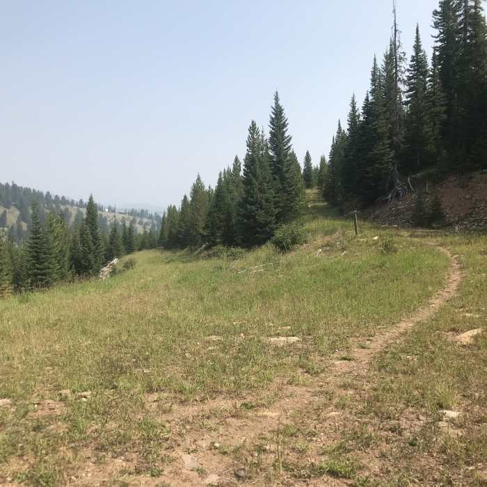
headed up second yellow mule
Near Second Yellow Mule #42
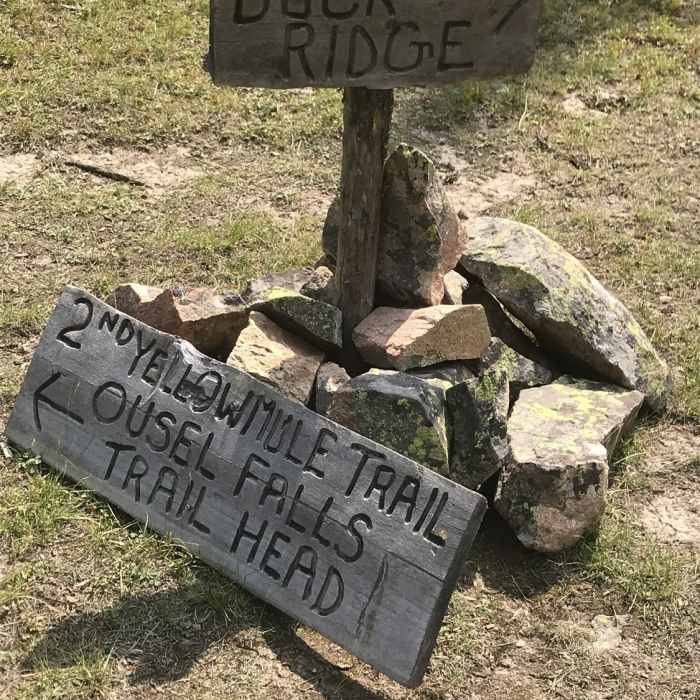
2nd Yellow Mule Trail intersection with Buck Ridge

Looking for more photos?

View All Photos
View Map
Driving Directions
Hike Trail

Second Yellow Mule #42

4.0 (1 Rating)
The easiest climb of the three Yellow Mule Trails up to Buck Ridge.
8.1
mi
Distance
2,779
ft
Gain
strenuous
Difficulty

Route Details

Flatter
Steeper
8.14mi
Distance
2,779ft
Elevation Gain
284ft
Elevation Loss
50%
Max Grade
9,459ft
High Point
6,962ft
Low Point
Path Type
Point to Point
Description
Second Yellow Mule provides public access through the Yellowstone Club to Forest Service land. It climbs through logged areas, then steeply up to the ridge dividing Second and Third Yellow Mule Creeks, ultimately gaining the ATV trail on top of Buck Ridge. It's a more gradual climb than First Yellow Mule.

Route Conditions

Report Conditions
No Condition Reports
Report Conditions

Nearby Hike Routes

Ousel Falls

Hike Route

Ousel Falls

Fall Colors
moderate
0.31 mi
+0 ft
Ousel Falls

Hike Route

Ousel Falls

Views
easy
1.65 mi
+350 ft
Uplands Trail Loop

Hike Route

Uplands Trail Loop

easy
2.24 mi
+435 ft
Hummocks Trail Loop

Hike Route

Hummocks Trail Loop

easy
2.65 mi
+364 ft
Bear Basin

Hike Route

Bear Basin

extreme
15.44 mi
+3,334 ft
Summit Climb (Bone Crusher)

Hike Route

Summit Climb (Bone Crusher)

Views
extreme
2.08 mi
+1,972 ft
Contributors
Phil Hess
