Near Richard Wishnie Park Walking Path
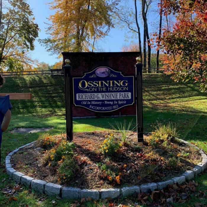
Wishnie Park at the corner of Pleasantville Road and Orchard Road
Near Richard Wishnie Park Walking Path
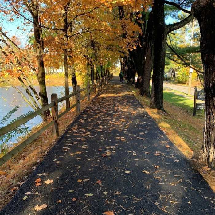
Paved path as it parallels Pleasantville Road
Near Richard Wishnie Park Walking Path
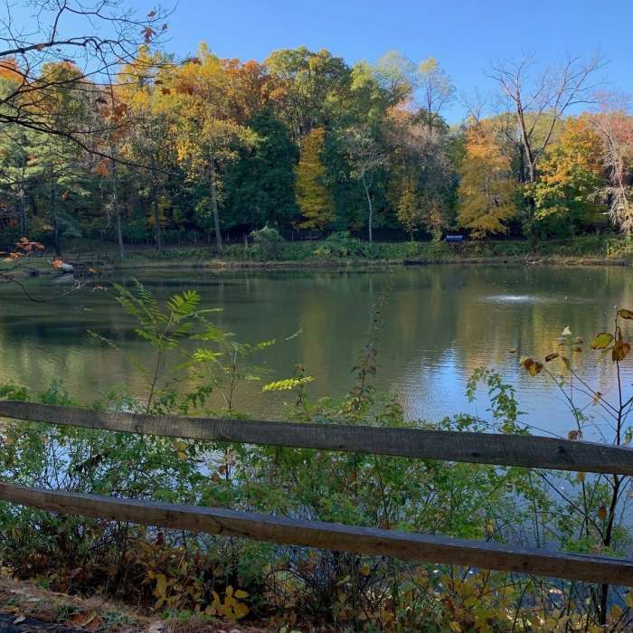
The view across the reservoir in Wishnie Park

Looking for more photos?

View All Photos
Driving Directions
Hike Trail

Richard Wishnie Park Walking Path

5.0 (1 Rating)
This is a very flat and friendly loop around the park's reservoir.
0.3
mi
Distance
ft
Gain
easy
Difficulty
ADA AccessibleFall ColorsFamily FriendlyLake

Route Details

Flatter
Steeper
0.3mi
Distance
0ft
Elevation Gain
0ft
Elevation Loss
5%
Max Grade
329ft
High Point
319ft
Low Point
Path Type
Loop
Description
This walking loop is accessible from the designated parking lot located off of Pleasantville Road, or the roadside spaces found along Orchard Road. Signage indicates that 3 times around the loop = 1 mile. The paved surface is in great shape!

Route Conditions

Report Conditions
No Condition Reports
Report Conditions

Nearby Hike Routes

Motts Hill

Hike Route

Motts Hill

easy
2.26 mi
+260 ft
Pocantico Park Loop

Hike Route

Pocantico Park Loop

Birding
moderate
0.9 mi
+185 ft
Teatown Lake Cliffdale Farm Double Loop

Hike Route

Teatown Lake Cliffdale Farm Double Loop

Birding
moderate
5.82 mi
+532 ft
Three Lakes Loop

Hike Route

Three Lakes Loop

easy
3.46 mi
+459 ft
Rockwood Hall Short Loop

Hike Route

Rockwood Hall Short Loop

Family Friendly
easy
1.29 mi
+140 ft
Hook Mountain - Nyack Beach Loop - Rockland Lake, Congers, Upper Nyack

Hike Route

Hook Mountain - Nyack Beach Loop - Rockland Lake, Congers, Upper Nyack

Birding
moderate
5.67 mi
+1,118 ft
Contributors
Henry Jamin
