
Plan with
Confidence
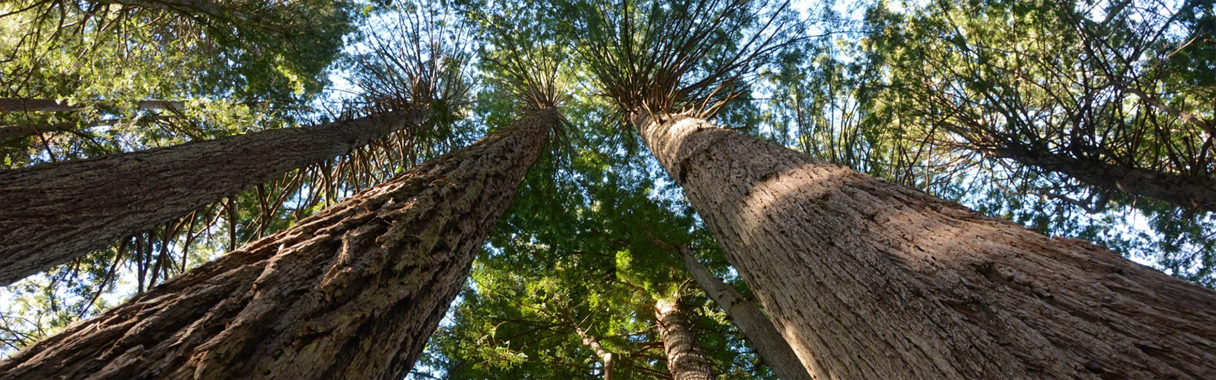
Hiking Near Aptos Hills-Larkin Valley, California
Shorter Routes
These hikes keep it under 5 miles and climb less than 1,500 feet, making them ideal for quicker outings or lower-key days. Perfect for a morning stretch, a casual afternoon, or getting outside without committing to a big push. Don’t let the stats fool you — many still pack in great views and rewarding moments.
Knobcone Point + Black Rock Falls Hike via Contour Trail
Knobcone Point + Black Rock Falls Hike via Contour Trail
Adventurous Routes
These routes go beyond 10 miles and are built for days when you want to cover more ground and push a little deeper. Expect longer distances, more effort, and bigger payoffs — whether that’s remote terrain, summit views, or a full-day challenge. Ideal for hikers looking to go farther and stay out longer.
Henry Coe (Jackson Field, Wasno Ridge, Bowl Trail)
Henry Coe (Jackson Field, Wasno Ridge, Bowl Trail)
Skyline to the Sea Trail: Saratoga Gap to Big Basin Headquarters
Skyline to the Sea Trail: Saratoga Gap to Big Basin Headquarters
Other Nearby Routes
Not finding what you're looking for? These additional nearby hikes offer more ways to get outside and explore the area. With a mix of lengths, difficulty levels, and terrain, you're likely to find something that fits your plans for the day. And remember, you can always use the onX Route Builder to create your own adventure from scratch.
Explore Top Areas Curated by onX Local Experts
Don’t see your next Adventure Area? Try Searching for a Nearby City or Town
- Arizona
- Cottonwood, AZ
- Flagstaff, AZ
- Grand Canyon Village, AZ
- Sedona, AZ
- Tusayan, AZ
- California
- Big Pine, CA
- Bishop, CA
- Crowley Lake, CA
- Fresno, CA
- Independence, CA
- Lee Vining, CA
- Lone Pine, CA
- Mammoth Lakes, CA
- South Lake Tahoe, CA
- Sunnyside - Tahoe City, CA
- Tahoe Vista, CA
- Truckee, CA
- Wawona, CA
- Yosemite Lakes, CA
- Yosemite Valley, CA
- Yosemite West, CA
- Colorado
- Aspen, CO
- Avon, CO
- Basalt, CO
- Bayfield, CO
- Boulder, CO
- Breckenridge, CO
- Buena Vista, CO
- Carbondale, CO
- Crested Butte, CO
- Dillon, CO
- Durango, CO
- Eagle, CO
- Edwards, CO
- Empire, CO
- Fraser, CO
- Frisco, CO
- Fruita, CO
- Golden, CO
- Grand Junction, CO
- Gunnison, CO
- Lake City, CO
- Leadville, CO
- Longmont, CO
- Lyons, CO
- Minturn, CO
- Nederland, CO
- Ouray, CO
- Pitkin, CO
- Poncha Springs, CO
- Rico, CO
- Ridgway, CO
- Salida, CO
- Silverthorne, CO
- Silverton, CO
- Snowmass Village, CO
- Nevada
- Carson City, NV
- Reno, NV
- Utah
- Boulder, UT
- Bryce Canyon City, UT
- Cedar City, UT
- Draper, UT
- Escalante, UT
- Green River, UT
- Hanksville, UT
- Hurricane, UT
- Kamas, UT
- Moab, UT
- Orem, UT
- Park City, UT
- Salt Lake City, UT
- Sandy, UT
- St. George, UT
- Washington
- Bellevue, WA
- Bellingham, WA
- Bremerton, WA
- Bellevue, WA
- Bellingham, WA
- Bremerton, WA
- Cle Elum, WA
- Eatonville, WA
- Enumclaw, WA
- Forks, WA
- Glacier, WA
- Issaquah, WA
- Maple Falls, WA
- North Bend, WA
- Olympia, WA
- Packwood, WA
- Port Angeles, WA
- Port Townsend, WA
- Sammamish, WA
- Sedro-Woolley, WA
- Sequim, WA
- Silverdale, WA
- Snoqualmie, WA
- Snoqualmie Pass, WA
- Wyoming
- Dubois, WY
- Jackson, WY
- Lander, WY
- Pinedale, WY
- Wilson, WY