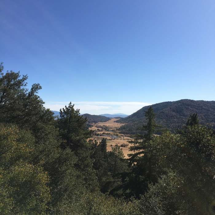
Near Observatory Trail #1E02
View from the trail.

Looking for more photos?

View All Photos
View Map
Driving Directions
Hike Trail

Observatory Trail #1E02

4.5 (2 Ratings)
A nice mild hike, fun to reach the observatory at the end. Mostly shaded the whole way.
2
mi
Distance
750
ft
Gain
moderate
Difficulty

Route Details

Flatter
Steeper
2.04mi
Distance
750ft
Elevation Gain
77ft
Elevation Loss
45%
Max Grade
5,531ft
High Point
4,853ft
Low Point
Path Type
Point to Point
Description
This is a nice trail, clearly marked most of the way and a gentle incline for the majority of the trail that gets slightly steeper by the end. Observatory at the end is a cool payoff but the accomplishment is a little tempered by the fact that it's possible just drive up. There are several dedicated parking spots halfway around the campground loop, do not park in a campground spot unless you want to pay the site fee.

Route Conditions

Report Conditions
No Condition Reports
Report Conditions

Nearby Hike Routes

Boucher Hill Loop

Hike Route

Boucher Hill Loop

Views
moderate
3.28 mi
+783 ft
Silvercrest Trail

Hike Route

Silvercrest Trail

Wildflowers
easy
1.45 mi
+226 ft
Hellhole Canyon Preserve

Hike Route

Hellhole Canyon Preserve

Birding
strenuous
8.17 mi
+1,995 ft
Horse Thief Loop + Historic Flume Trail

Hike Route

Horse Thief Loop + Historic Flume Trail

Wildflowers
easy
3.85 mi
+535 ft
Pacific Crest Trail: California Section B

Hike Route

Pacific Crest Trail: California Section B

Views
extreme
98 mi
+16,795 ft
Santa Ysabel County Preserve East

Hike Route

Santa Ysabel County Preserve East

Birding
strenuous
4.2 mi
+917 ft
Contributors
Samantha Shieh
