Near Red Hill Pond Trail
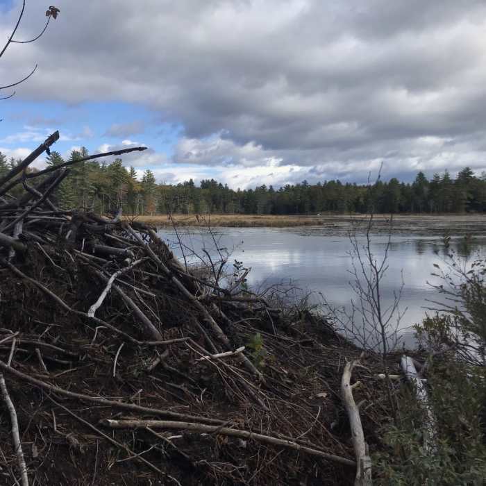
Beaver dam on the edge of Red Hill Pond.

Looking for more photos?

View All Photos
Driving Directions
Hike Trail

Red Hill Pond Trail

4.0 (1 Rating)
This is a short trail to the granite dam at Red Hill Pond.
0.6
mi
Distance
30
ft
Gain
easy
Difficulty
BirdingFall ColorsHistoricalLakeRiver/CreekViewsWildlife

Route Details

Flatter
Steeper
0.59mi
Distance
30ft
Elevation Gain
37ft
Elevation Loss
5%
Max Grade
656ft
High Point
634ft
Low Point
Path Type
Point to Point
Description
This trail starts off the east side of Maple Street and runs eastward. It travels to the western edge of Red Hill Pond, at an old granite stone dam. It turns left and completes a small loop around a small hill.

Route Conditions

Report Conditions
No Condition Reports
Report Conditions

Nearby Hike Routes

Red Hill Fire Tower via Red Hill + Cabin Trails

Hike Route

Red Hill Fire Tower via Red Hill + Cabin Trails

Lake
moderate
3.35 mi
+1,356 ft
Rattlesnake

Hike Route

Rattlesnake

Birding
moderate
1.73 mi
+397 ft
Squam Range Extended Loop Hike via Crawford Ridgepole Trail

Hike Route

Squam Range Extended Loop Hike via Crawford Ridgepole Trail

Lake
extreme
13.05 mi
+3,488 ft
Mt. Roberts

Hike Route

Mt. Roberts

Views
moderate
2.48 mi
+1,341 ft
Mount Whiteface via Blueberry Ledge Trail

Hike Route

Mount Whiteface via Blueberry Ledge Trail

Views
strenuous
7.43 mi
+2,959 ft
Pine Flat, Yellowjacket and Tri-Town

Hike Route

Pine Flat, Yellowjacket and Tri-Town

easy
3.25 mi
+454 ft
Contributors
David Smith
