Near Bear Creek Park Trail
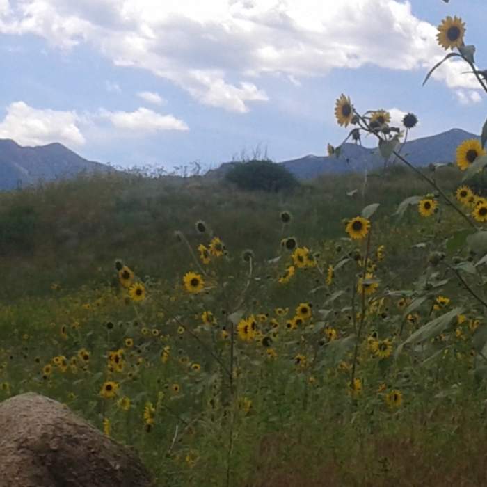
Sunflowers blooming in Bear Creek Regional Park

Looking for more photos?

View All Photos
View Map
Driving Directions
Hike Trail

Bear Creek Park Trail

3.5 (2 Ratings)
An easy-going, wide trail through Bear Creek Canyon Regional Park.
1.8
mi
Distance
165
ft
Gain
moderate
Difficulty
Family FriendlyRiver/CreekViews

Route Details

Flatter
Steeper
1.85mi
Distance
165ft
Elevation Gain
135ft
Elevation Loss
15%
Max Grade
6,206ft
High Point
6,042ft
Low Point
Path Type
Point to Point
Description
Enjoy the beautiful cottonwoods and tall grasses found on this trail. The trail itself is wide and well-graded. At your first trail junction, take a left. This will take you up a gentle incline until you reach the base of a hill. The incline will become steeper and will climb for the next .25 miles. From the top of the hill it is a blissful glide down around the boundary of the park slowly leading around to the right, toward Bear Creek. Once the parking lot is reached you can either take a right to head back to the beginning or you can drop into the trees along the creek.

Route Conditions

Report Conditions
No Condition Reports
Report Conditions

Nearby Hike Routes

Lower Bear Creek Loop

Hike Route

Lower Bear Creek Loop

Dogs Allowed
easy
2.65 mi
+168 ft
Monument Valley Park Loop

Hike Route

Monument Valley Park Loop

River/Creek
easy
4.3 mi
+112 ft
Upper Meadows, Ridge, Ponderosa, and Chamberlain Loop

Hike Route

Upper Meadows, Ridge, Ponderosa, and Chamberlain Loop

Dogs Allowed
easy
3.57 mi
+462 ft
Coyote Gulch and Creekbottom Loop

Hike Route

Coyote Gulch and Creekbottom Loop

Dogs Allowed
easy
1.31 mi
+172 ft
Bear Creek, Mountain Scrub, and Yellow Jacket Loop

Hike Route

Bear Creek, Mountain Scrub, and Yellow Jacket Loop

Dogs Allowed
easy
3.86 mi
+570 ft
Lion and Chamberlain Loop

Hike Route

Lion and Chamberlain Loop

Dogs Allowed
easy
3.5 mi
+512 ft
Contributors
Hiking Project Staff
