


Ready to explore this trail?
View Trail Map in AppRegional Classic
A must do route for the area handpicked by local experts.
No permit is required, but the road above the trailhead is rough and narrow and should only be undertaken by capable 4WD vehicles. Snow can often cover the lower road until early July.
There are private mining claims along the upper mountain — stay on established roads.
The land manager requests dogs be leashed.
Path Type
There and Back
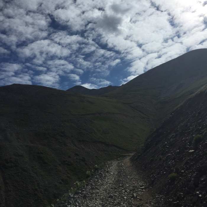
From the Baldwin Gulch trailhead (9,400') on Chaffee County Road 162, start up the #277 jeep road. It's steep and rough, though it can be driven slowly in a short-wheelbase, high-clearance 4WD vehicle; on foot or by vehicle, cover about 3 miles to a junction at 10,850', where a stream crossing marks the start of the #278 road. Turn left onto #278 and continue nearly 1.5 miles to treeline, where the road begins switchbacking up Antero's west slopes.
The road zigzags up the west side of Point 13,800', then climbs a long southward stretch near 12,800' to the ridge crest at 13,100'. Continue east on the #278A road, staying left at two junctions near 13,100' and 13,200', then follow the road up the south side of Point 13,800' to a small saddle on its eastern side.
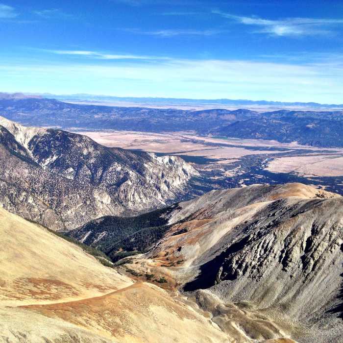
Pass through an old mining area to reach Antero's south ridge, then follow the ridge crest and trail segments along its right side — the most engaging terrain on the route. At a saddle at 13,850', below the final pitch, either traverse right on a braided, eroded trail across the upper south slope, or climb directly toward the summit along the ridge crest; most parties now take the direct line, since the traverse trail has deteriorated. Gain the 14,269' summit.
Retrace the route to the trailhead. West Slopes is the standard route; a second route exists via Little Browns Creek Trail from the Browns Creek trailhead to the east (16.25 miles, 5,550' gain), mostly on foot trail before it joins this same road and ridge system near the 12,830' saddle with Mt. White. Snow can cover the lower road until early July.
Named after Chief Antero of the Ute Tribe, Mt. Antero boasts the highest gem field in the lower 48.
No Condition Reports
Contributors

