Ready to explore this trail?
View Trail Map in AppThe Agnes Vaille Falls Trailhead is located off County Road 162 in Chalk Creek Canyon, adjacent to the Cascade Campground. Parking at the trailhead is free, and no permits are required, though the lot is small and fills quickly during summer weekends. Dogs are permitted on the trail but must be kept on a leash. Due to extreme and active rockfall hazards, visitors must remain on the designated path; climbing beyond the viewing platform or scrambling up the rock slide area near the falls is strictly prohibited.
Path Type
There and Back
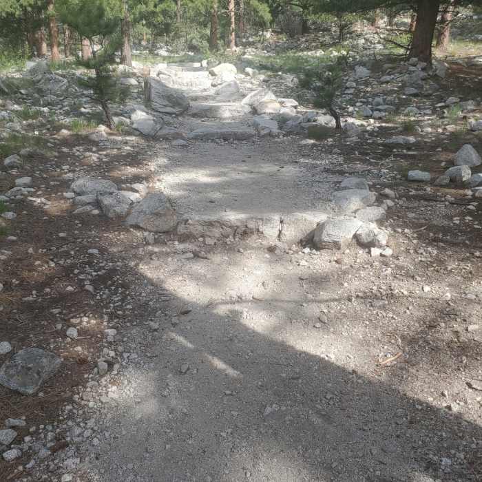
The Agnes Vaille Falls Trail is a short, family-friendly hike located in Chalk Creek Canyon within the San Isabel National Forest near Nathrop, Colorado. Starting from the trailhead off County Road 162 near Cascade Campground, the trail climbs through pine forests and boulder fields. The hike is approximately 1.1 miles round trip with an elevation gain of nearly 400 feet, starting at an elevation of 8,760 feet and reaching a high point of 9,156 feet.
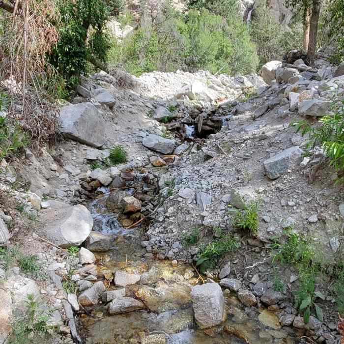
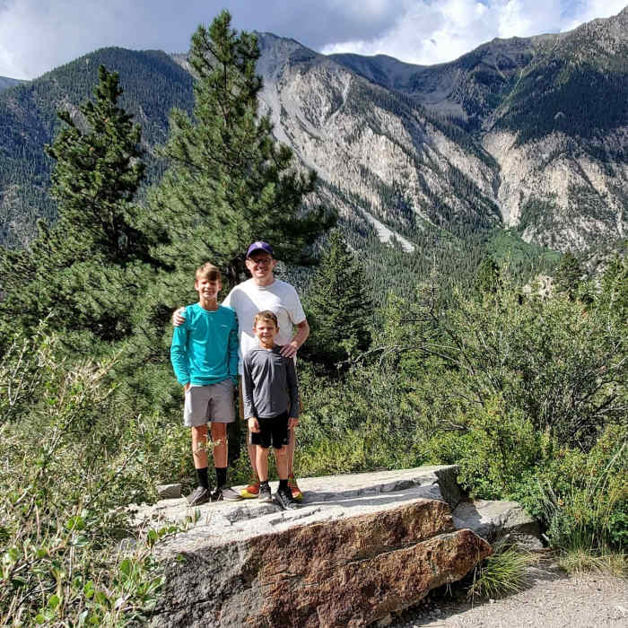
The trail climbs steadily alongside a small creek, providing views of the striking white Chalk Cliffs and the surrounding Collegiate Peaks. The route ends at a designated viewing area directly below Agnes Vaille Falls, where water cascades down the rocky mountainside.
Due to active rockfall hazards and unstable talus slopes, visitors must remain on the designated path and are strictly prohibited from climbing past the warning signs or scrambling up the rock slide area near the falls.
No Condition Reports
Contributors

