


Ready to explore this trail?
View Trail Map in AppRegional Classic
A must do route for the area handpicked by local experts.
No permit is required; Mount Princeton sits outside designated wilderness. The final 3.2 miles of road are rough, narrow, and demand high-clearance 4WD. Sedans and low-clearance vehicles should start from the lower, 2WD-accessible trailhead at 8,900' instead, adding about 6 miles and 1,900 vertical feet round trip. This road is closed in the winter, and conditions are variable year-round.
Path Type
Point to Point
The route begins and ends at the radio towers (10,832') on Mount Princeton Road and reaches the summit of Mount Princeton (14,200').
From the radio towers, continue up the 4WD road as it switchbacks up the east side of unranked Tigger Peak (13,300'). Near 11,700', the road swings to the ridge's south side. At about 11,800', turn right onto the Princeton Trail where it splits from the road, just before the road bends left.
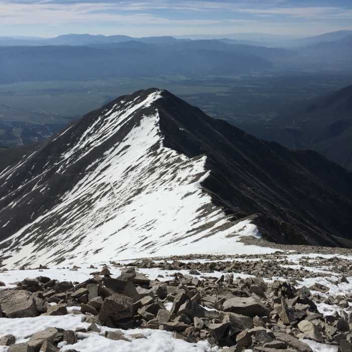
At 11,900', the trail crosses to Tigger's north side, opening a view of the remaining climb. Head west across rocky terrain, crossing gullies that can hold snow into early summer, then reach easier ground on Princeton's east slopes.
Continue to the saddle between Mount Princeton and Tigger Peak at about 13,000'.
Crux: from the saddle, follow the marked trail along the ridge to the summit; the final stretch requires Class 2 scrambling over large boulders.
Descend the same route.
Mt. Princeton, while first summited in 1877 by an alumna of its namesake, was named years prior by Harvard graduate - and Wyoming high point namesake - Henry Gannett.
No Condition Reports
Contributors

