

Ready to explore this trail?
View Trail Map in AppPath Type
Point to Point
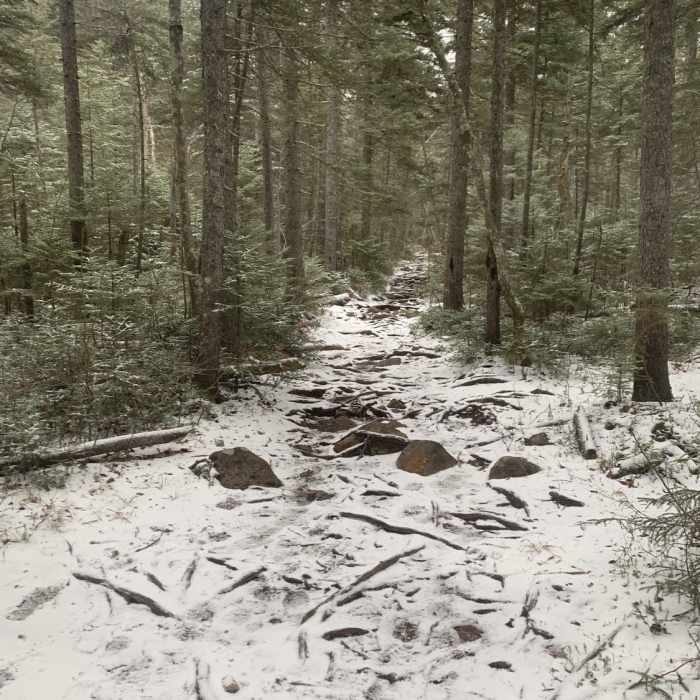
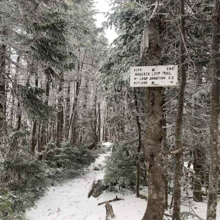
The loop can be done in either direction. My recommendation would be to do the loop clockwise, as the northern summit section has a steeper ascent, which is easier going uphill. The loose footing on the south side is less of an issue going down.
However, going counterclockwise, the trail ascends moderately at first and then steeply up the face of South Hancock. Some loose rock makes footing slightly difficult in places. This section tops out at the summit of South Hancock. There is a viewpoint about 15 yards beyond the summit out to the east.
The middle section is mostly flat with small ups and downs, with some mud in sections. The trail ascends moderately toward the summit of Hancock.
Continuing straight past the summit, there is a viewpoint approximately 40 yards down trail looking west. From the summit, the trail wraps around the southern aspect of the summit and then descends steeply. There is better footing on this side of the loop. The descent continues into a dry creek bed, followed by a short descent back to the junction with Cedar Brook Trail.
Some Issues
Some Issues
Some Issues
All Clear
Looking for more condition reports?
Mount Osceola via Greeley Pond Trail
Mount Osceola via Greeley Pond Trail
Lincoln Woods Trail
Lincoln Woods Trail
Bonds Loop to Thirteen Falls
Bonds Loop to Thirteen Falls
Pemigewasset Loop (AKA Pemi Loop)
Pemigewasset Loop (AKA Pemi Loop)
Mount Carrigain via Signal Ridge Trail
Mount Carrigain via Signal Ridge Trail
Mount Osceola to East Osceola
Mount Osceola to East Osceola
Contributors

