Ready to explore this trail?
View Trail Map in AppRegional Classic
A must do route for the area handpicked by local experts.
Sawyer River Road is closed indefinitely, due to damage from a December 2023 storm.
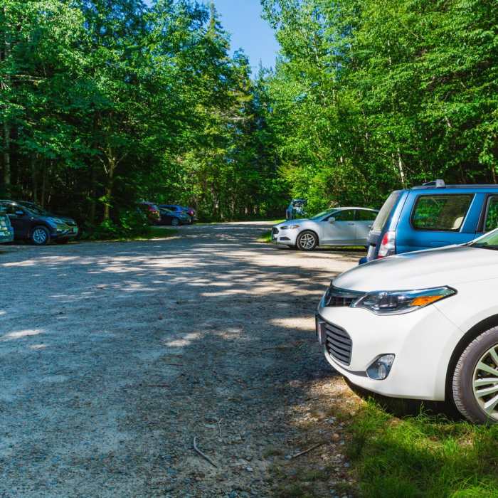
It it usually closed seasonally to vehicles from late November to mid-May. When closed, hikers must walk an additional 2.0 miles each way to access the trailhead. The alternate starting point is from the lot at the corner of 302 and Sawyer River Road.
Path Type
There and Back
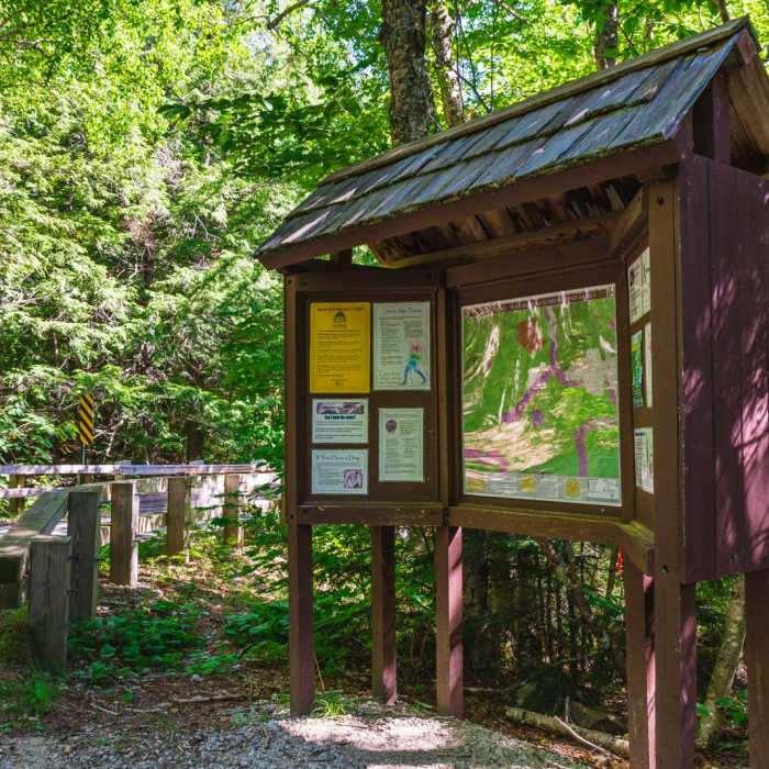
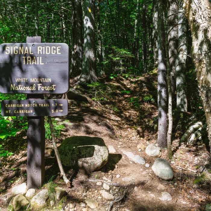
This route begins and ends at the Signal Ridge Trailhead on Sawyer River Road after reaching the summit of Mount Carrigain by the Signal Ridge Trail.
Begin at the Signal Ridge Trailhead and head north. The trail begins with a gentle grade, crossing several small streams. Around 1.7 miles, keep right and follow the trail north towards the Carrigain Notch Trail. At 1.9 miles, reach the junction with the Carrigain Notch Trail and bear left to remain on the Signal Ridge Trail.
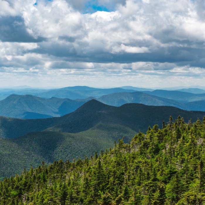
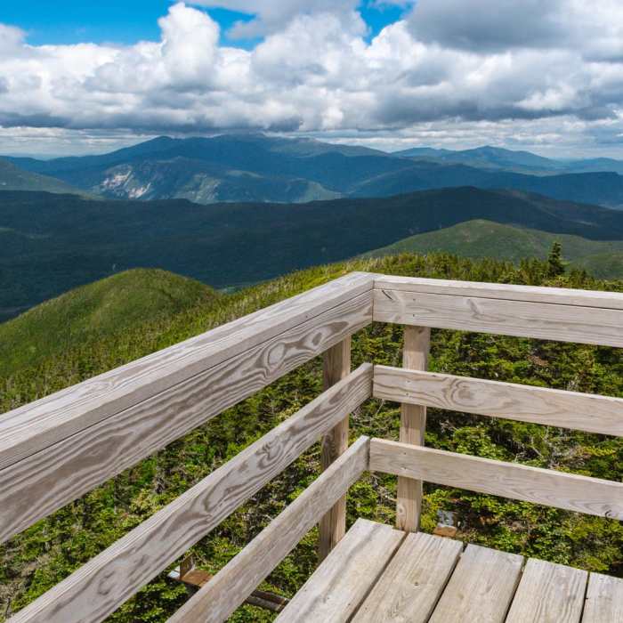
After this junction, the trail begins a steady, relentless climb of approximately 3,400 vertical feet. At 4.5 miles, emerge onto the open, exposed crest of Signal Ridge, which offers expansive views. Continue along the narrow ridge for another 0.5 miles to reach the summit of Mount Carrigain, home to a steel observation tower providing 360-degree views of the White Mountains.
Retrace your steps to return to the trailhead.
No Condition Reports
Mount Crawford, Stairs Mountain, and Mount Resolution via Davis Path
Mount Crawford, Stairs Mountain, and Mount Resolution via Davis Path
North and Middle Tripyramid
North and Middle Tripyramid
Hedgehog Mountain
Hedgehog Mountain
Arethusa Falls Out and Back
Arethusa Falls Out and Back
Arethusa Falls
Arethusa Falls
Arethusa Falls Frankenstein Cliff Loop
Arethusa Falls Frankenstein Cliff Loop
Contributors

