Ready to explore this trail?
View Trail Map in AppA parking fee (approximately $3) applies at the Greeley Pond Trailhead. The Kancamagus Highway is plowed year-round but can close temporarily during severe winter storms.
Path Type
There and Back
The route starts and ends at the Greeley Pond Trailhead on the Kancamagus Highway, passing East Peak, to reach the summit of Mount Osceola.
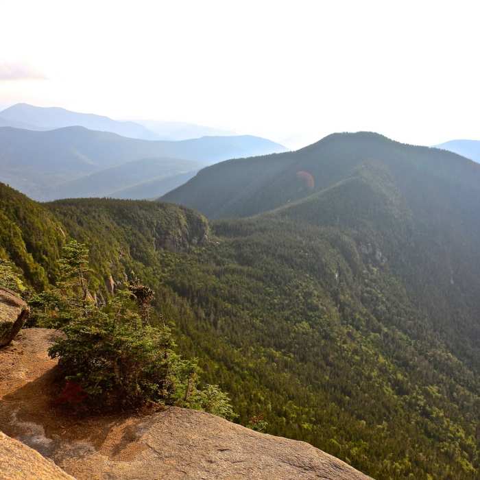
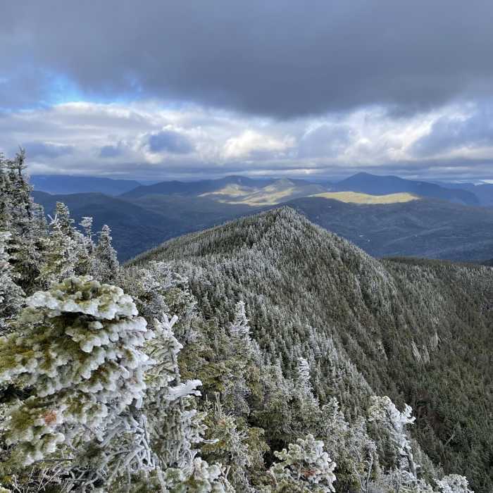
From the trailhead, follow the Greeley Pond Trail south on a gentle, well-graded path through mixed forest, passing the lower and upper Greeley Ponds — two shallow, mountain-rimmed ponds worth a pause — before climbing gradually to Mad River Notch at 1 mile, a narrow, wooded height-of-land where the trail meets the Osceola Trail. Turn right (west) onto the Osceola Trail; the grade steepens noticeably here, climbing through spruce-fir forest along the flank of East Peak. Reach the open ledges of East Peak at 2.3 miles, gaining roughly 1,800 vertical feet from the notch.
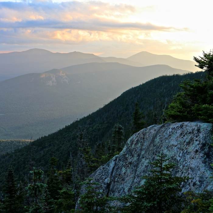
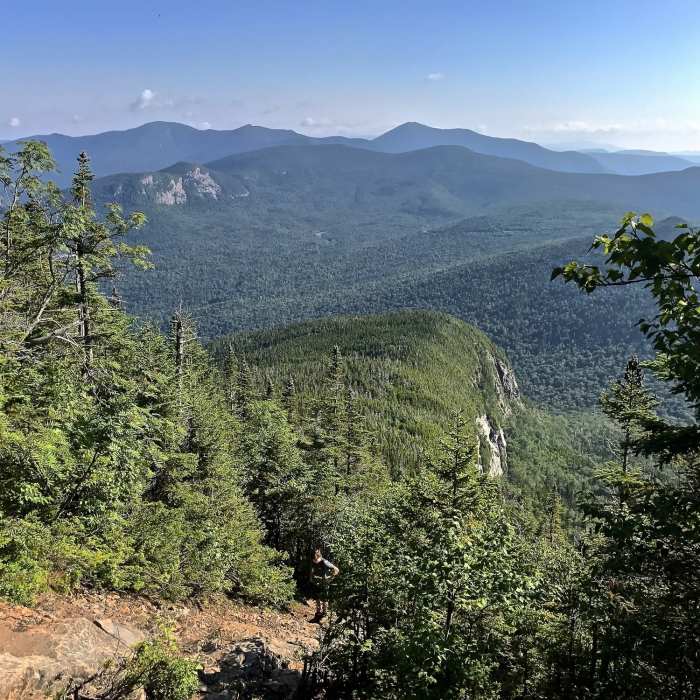
Crux: From East Peak, continue west across a shallow, wooded col and up through The Chimney — a 20-to-30-foot rock scramble that is the route's technical crux, requiring hands but no rope — to reach the open summit ledges of Mount Osceola at approximately 3.3 miles.
Retrace the route to return; both The Chimney and the climb back out of Mad River Notch are more demanding in the return direction, so pace accordingly.
No Condition Reports
Mount Osceola to East Osceola
Mount Osceola to East Osceola
Mount Osceola via Osceola Trail
Mount Osceola via Osceola Trail
Mount Tecumseh
Mount Tecumseh
Lincoln Woods Trail
Lincoln Woods Trail
Bonds Loop to Thirteen Falls
Bonds Loop to Thirteen Falls
Pemigewasset Loop (AKA Pemi Loop)
Pemigewasset Loop (AKA Pemi Loop)
Contributors

