


Ready to explore this trail?
View Trail Map in AppRegional Classic
A must do route for the area handpicked by local experts.
A day-use parking fee (approximately $5 per vehicle) applies at the Osceola Trailhead. Tripoli Road is unplowed and closed to vehicles from November through late May.
Path Type
There and Back
The route starts and ends at the Osceola Trailhead on Tripoli Road, reaching the summit of Mount Osceola.
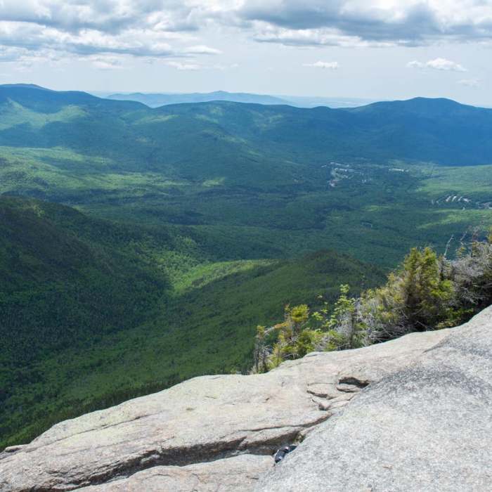
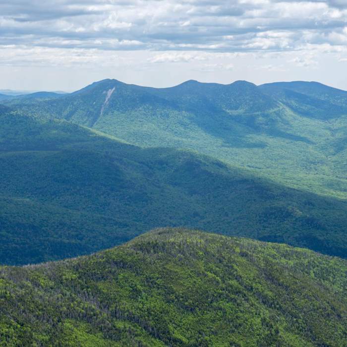
From the trailhead, follow the Osceola Trail north as it climbs through mixed hardwood forest of birch, beech, and maple, following an old logging grade for roughly the first mile before the grade steepens into a sustained, rocky ascent typical of White Mountain approach trails. The forest gradually gives way to red spruce and balsam fir as the trail gains the ridge. At 2.8 miles, break out onto the open ledges of the Mount Osceola summit, a broad rock dome with views west toward Waterville Valley and the Tripyramids and north toward Franconia Ridge, having gained roughly 2,050 vertical feet.
Retrace the route to return.
No Condition Reports
Mount Osceola to East Osceola
Mount Osceola to East Osceola
Mount Tecumseh
Mount Tecumseh
Snow's Mountain Lower Loop
Snow's Mountain Lower Loop
Sandwich Dome via Sandwich Mountain Trail + Drakes Brook Trail
Sandwich Dome via Sandwich Mountain Trail + Drakes Brook Trail
Mount Osceola via Greeley Pond Trail
Mount Osceola via Greeley Pond Trail
Welch-Dickey Mountain Loop
Welch-Dickey Mountain Loop
Contributors

