
Near Sterling Ridge Trail
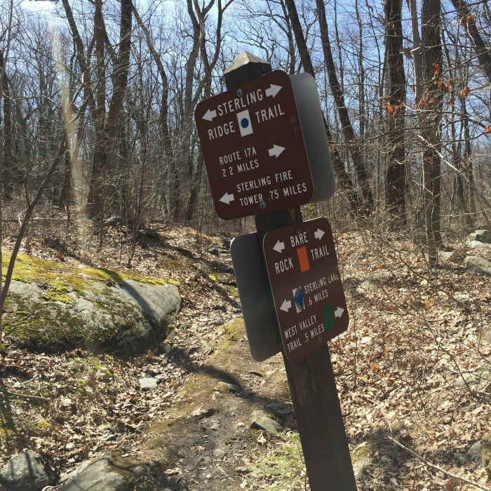
Blue Trail-Orange Trail intersection.
Near Sterling Ridge Trail
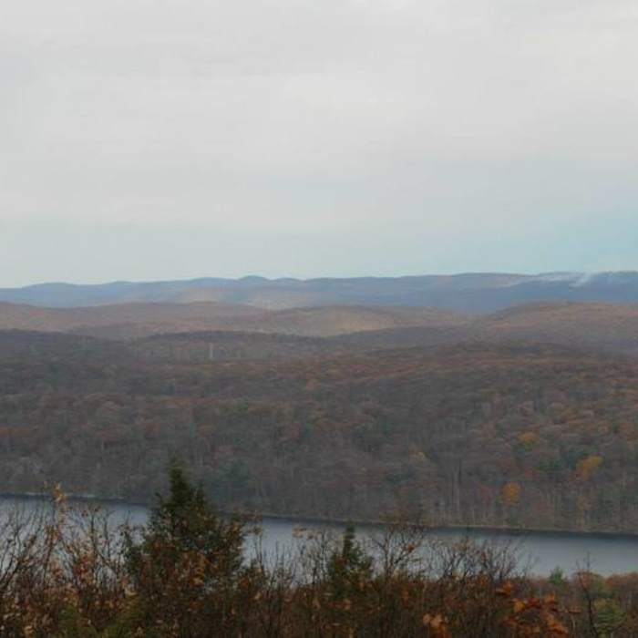
You can find nice views from the fire tower even on a rainy day.
Near Sterling Ridge Trail
Climbing Sterling Forest Fire Tower rewards you with stunning views of the surrounding woodlands.
Near Sterling Ridge Trail
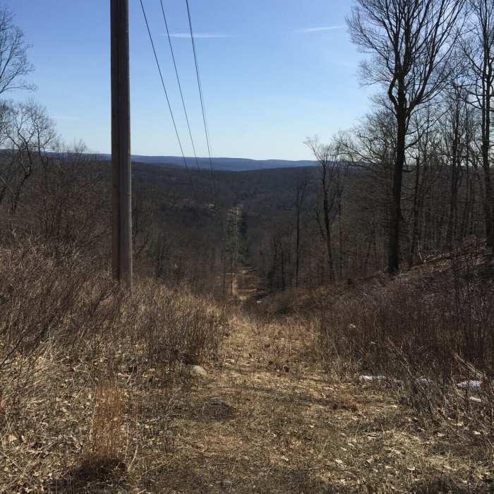
Power lines opening.
Near Sterling Ridge Trail
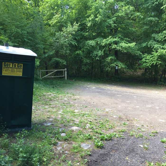
Parking lot by route 17A

Looking for more photos?

View All Photos
Driving Directions
Hike Trail

Sterling Ridge Trail

5.0 (1 Rating)
Intense, technical on top of ridge trail.
3
mi
Distance
564
ft
Gain
strenuous
Difficulty
Fall ColorsViewsWildflowersWildlife

Route Details

Flatter
Steeper
2.97mi
Distance
564ft
Elevation Gain
417ft
Elevation Loss
20%
Max Grade
1,320ft
High Point
1,094ft
Low Point
Path Type
Point to Point
Description
Part of longer Highlands Trail. Section between Sterling Valley Loop - yellow trail and Fire Tower - red trail. Lots of rocky ups and downs. Trail ends by the Fire Tower as a great view point.

Route Conditions

Report Conditions
No Condition Reports
Report Conditions

Nearby Hike Routes

Lakeville Ironworks Trail

Hike Route

Lakeville Ironworks Trail

Dogs Allowed
easy
1.05 mi
+134 ft
Sterling Forest Fire Tower Loop

Hike Route

Sterling Forest Fire Tower Loop

Lake
moderate
7.56 mi
+1,327 ft
Doris Duke Loop

Hike Route

Doris Duke Loop

easy
3.63 mi
+698 ft
Sterling Fire Tower

Hike Route

Sterling Fire Tower

Dogs Allowed
easy
1.91 mi
+639 ft
Sterling Loop

Hike Route

Sterling Loop

easy
3.75 mi
+695 ft
McKeags Meadow and Hutchinson Loop

Hike Route

McKeags Meadow and Hutchinson Loop

strenuous
10.69 mi
+1,629 ft
Contributors
Peter Poznanski
