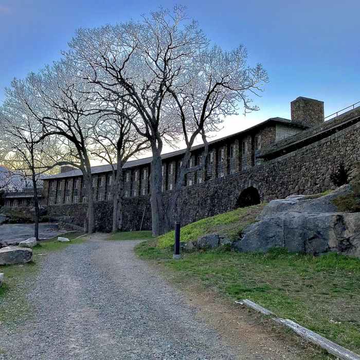
Near Red/White Trail
The Rocky Neck Pavillion
Near Red/White Trail
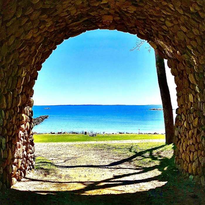
The Sound from the archway underneath Rocky Neck's signature pavilion

Looking for more photos?

View All Photos
View Map
Driving Directions
Hike Trail

Red/White Trail

3.0 (1 Rating)
A nice trail that connects the main pavilion to the parking area.
0.2
mi
Distance
44
ft
Gain
moderate
Difficulty
Geologically Significant

Route Details

Flatter
Steeper
0.2mi
Distance
44ft
Elevation Gain
82ft
Elevation Loss
25%
Max Grade
99ft
High Point
15ft
Low Point
Path Type
Point to Point
Description
This trail is blazed red/white and begins at the railroad bridge behind Rocky Neck's main pavilion. It departs north and climbs slightly as it traverses rocky terrain. It passes through areas with a few nice, rocky outcroppings. It continues north until turning to the east and begins to descend. This descent is somewhat steep, not fairly short. The trail's terminus is at the park's main parking area.

Route Conditions

Report Conditions
No Condition Reports
Report Conditions

Nearby Hike Routes

Orange Vista Trail

Hike Route

Orange Vista Trail

Views
easy
1.72 mi
+368 ft
Arshamomaque Preserve Loop

Hike Route

Arshamomaque Preserve Loop

easy
1.61 mi
+0 ft
Mashomack Preserve Loop

Hike Route

Mashomack Preserve Loop

Birding
easy
8.48 mi
+357 ft
Maples Farm Outer Loop

Hike Route

Maples Farm Outer Loop

Dogs Allowed
easy
1.24 mi
+164 ft
Chatfield Trail

Hike Route

Chatfield Trail

Cave
moderate
4.22 mi
+413 ft
Cedar Point Lightouse Loop

Hike Route

Cedar Point Lightouse Loop

easy
5.38 mi
+146 ft
Contributors
Daniel McCloskey
