Ready to explore this trail?
View Trail Map in AppNYC DEP Permit required for the middle section of the trail (free from DEP's website).
Path Type
Point to Point
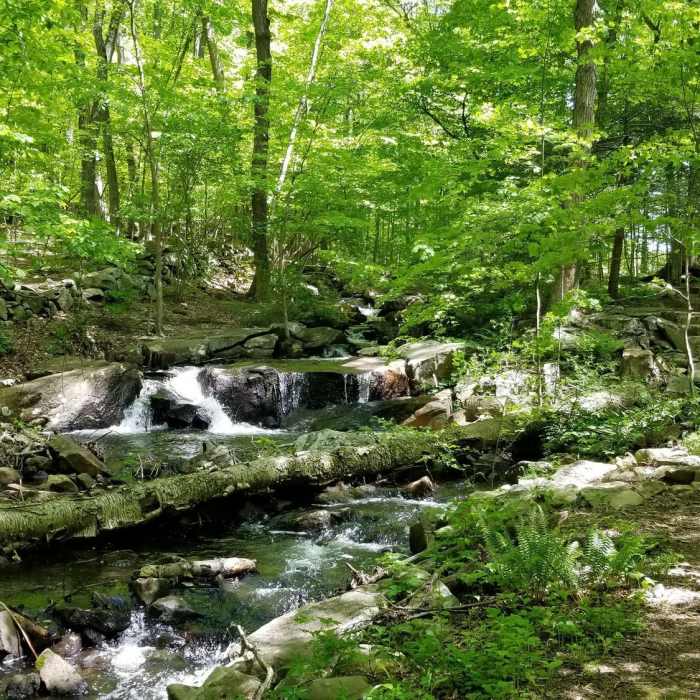
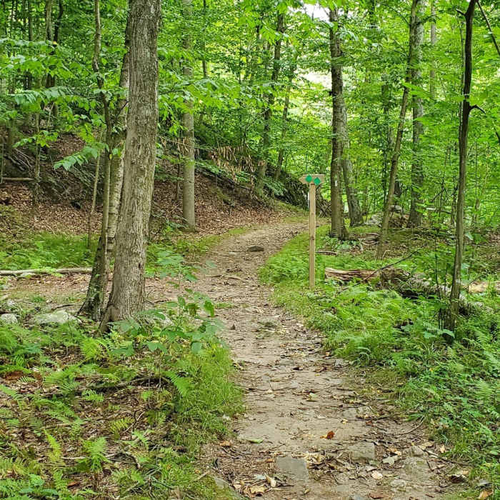
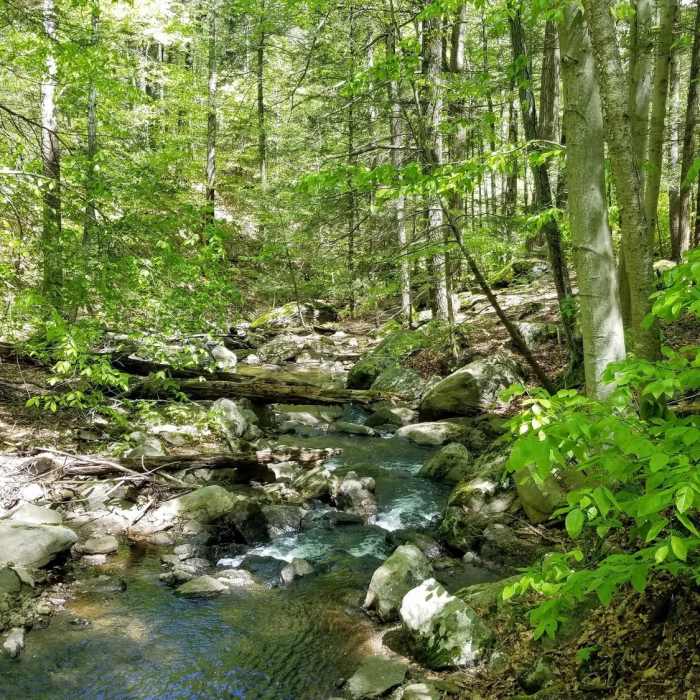
We started at the Kitchawan Preserve end of the trail. The trail immediately starts down a tree covered path with a few rocks, roots and some mud. After crossing over a stream via bridge, you climb up a surprisingly steep trail to a series of interconnected meadows. After re-entering the woods, following the purple blazes and TKT placards you turn left through a gap in a stone wall and then descend into a ravine. At the bottom of the ravine, take a moment to get a picture or 3 and then cross the stream using the rocks. On the other side of the stream climb the embankment and stay to the right. You'll climb steadily until you come to Arcady Rd.
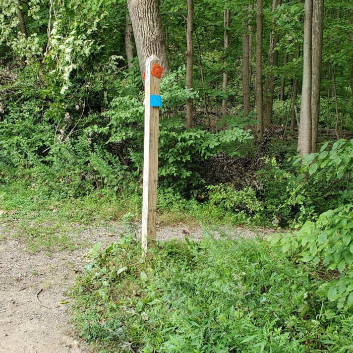
Crossing Arcady look left for the purple blazes and the TKT placards. After re-entering the woods and climbing a short set of stone steps you'll come to a wide grassy trail, make sure to turn right. For the next 1.5-2 miles you'll not see any TKT placards only far apart purple blazes. Follow the grass trail up a fairly constant incline until it becomes a narrow path again. You'll know that you are on the right path (besides the purple blazes), once you start seeing NYC DEP signs. Eventually you'll break out into old and unused farm fields. Following the trail you'll eventually come to Aqueduct Street and the road portion of the trail.
Turning right onto Aqueduct Street you'll slowly descend towards the Croton Reservoir. At the bottom of Aqueduct St you turn left onto Croton Dam Rd which is gravelly and very poorly maintained. On this road you'll have views of the reservoir and the superstructures of the two bridges that cross the reservoir. Keep an eye out to the left for TK placards are purple blazes for the spot you'll be heading off road again.
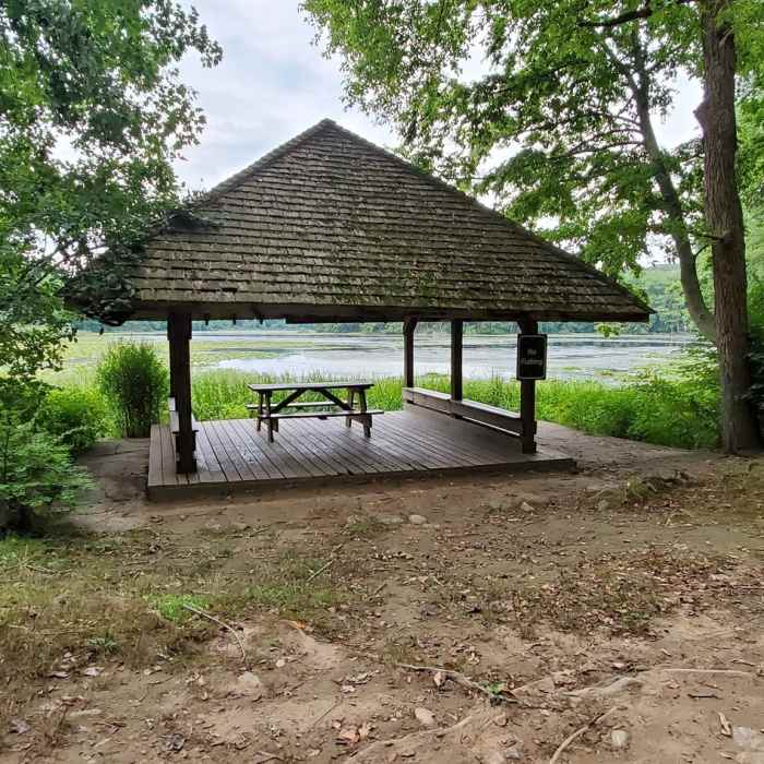
Once you find the trail, turn left, take a deep breath and gird yourself for a steep ascent over a trail that seems to be barely used and is full of loose rocks and branches. Following the trail you'll climb out of NYC DEP land and into John Hand County Park. While the TKT is well marked there are several other trails inside the park that are not marked at all. Eventually, you'll begin to descend into an extremely small parking area. Here you'll turn right onto Blinn Rd and continue approximately 1000 feet and then cross the road into the Teatown portion of the trail. Once you come to Teatown Lake, turn left and follow the blazes to the end of the trail.
No Condition Reports
Contributors

