
Ready to explore this trail?
View Trail Map in AppPath Type
Point to Point
This section starts from Bolton Mountain and travels a rough stretch to Puffer Shelter. Puffer Shelter offers excellent views of the surrounding area.
It traverses the mountains to arrive at Taylor Lodge, which is named in honor of James P. Taylor. The water source is a piped spring off Lake Mansfield Trail. There's also a tall cascade into a small pool, along this trail. There are also a few views (at this shelter), one on top of the hill and Peter's Perch (in front of the shelter).
The trail continues into Nebraska Notch, which is a misleading name. Nebraska isn't known for it's mountains, the only similarity is that there's a lot of corn grown in the nearby town of Moscow. Leaving from Taylor Lodge, you also have the option of taking the Clara Bow Trail. This trail is short trail that travels through caves and crevices, before re-connecting with the Long Trail. Continue along the trail to Twin Brooks Tenting Area. This tenting area has group tent platforms and single tent platforms.
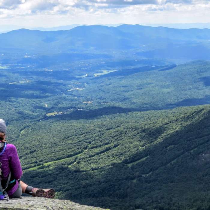
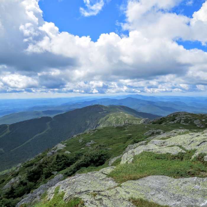
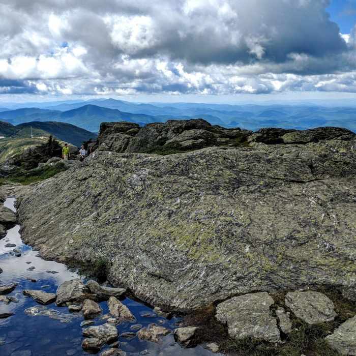
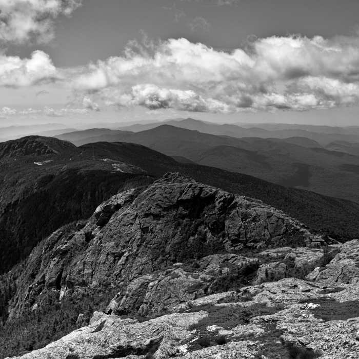
From here, the trail climbs up to Wallace Cut-Off. This cut-off will take you to Butler Lodge, a 4-sided cabin just below The Forehead. The climb (up to The Forehead) consists of climbing ladders, hugging rocks, traversing crevices and tightrope-walking over narrow bridges. This area can be challenging if you're thru-hiking with a full pack. Continue along the other facial geography of Mansfield to the true summit. Mount Mansfield is the highest summit in Vermont, out of five (true) 4,000 footers. The trail descends the ridge and takes a right turn just before the Adams Apple. It descends to Taylor Lodge, a large 4-sided cabin that often has phenomenal sunrises.
The trail now follows a newer route down to 108. Originally, the trail traveled down an unsustainable trail to the picnic area, but now it follows a brook down towards the visitor's center. After crossing over Route 108, the trail turns right onto the Barnes Camp Loop. It follows this behind the visitor's center, then turns left. The trail ascends the slopes of Spruce Peak and travels to Sterling Pond Shelter.
It traverses over mountains to Whiteface Shelter, just below Whiteface Mountain.
It descends to Bear Hollow Shelter, a quiet shelter atop a small ledge.
The trail descends through an area known as West Settlement. From here, the trail follows a series of dirt roads and snowmobile trails out towards Route 15. This section ends at Lamoille Valley Rail Trail.
All Clear
Looking for more condition reports?
Contributors

