Near Thomas Creek Trail
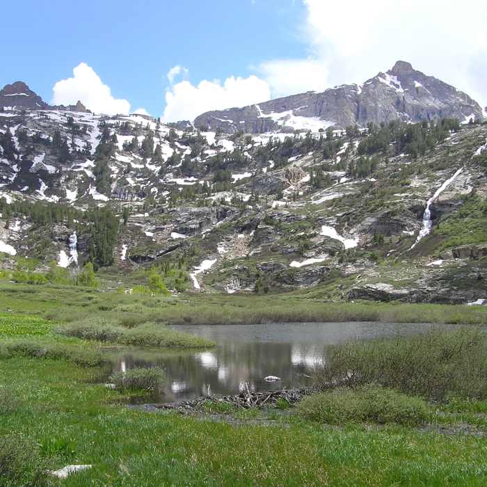
End of Thomas Creek trail showing Mt. Fitzgerald and beaver pond. (06-26-2009)
Near Thomas Creek Trail
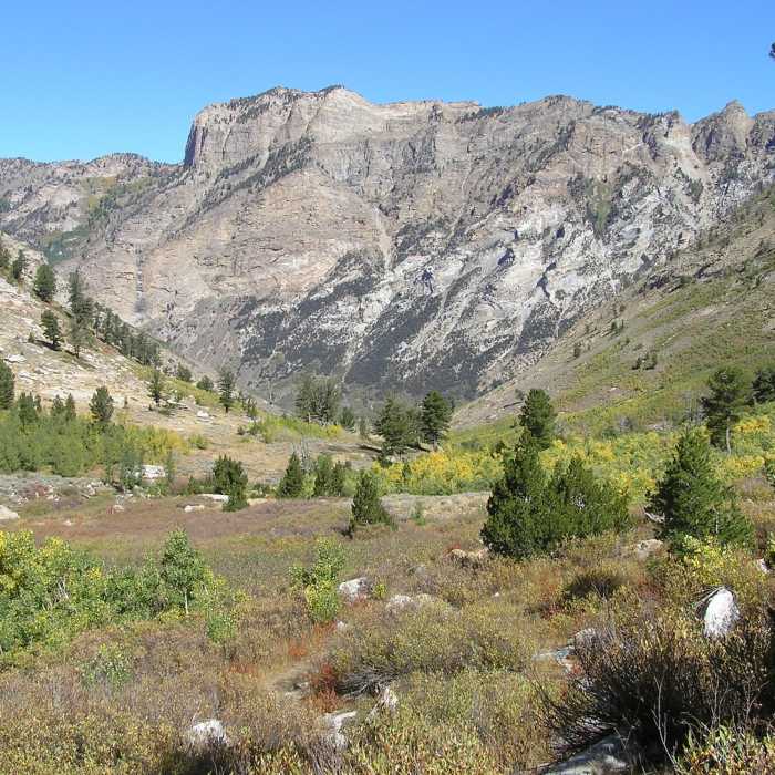
Lamoille Canyon from Thomas Creek Trail. (09-18-2015)
Near Thomas Creek Trail
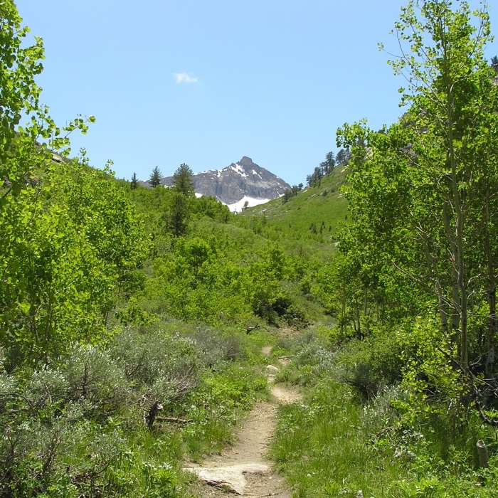
Mt. Fitzgerald appears as you enter Thomas Canyon (06-26-2009)

Looking for more photos?

View All Photos
Driving Directions
Hike Trail

Thomas Creek Trail

4.0 (1 Rating)
A short hike to the headwaters of Thomas Creek at the foot of Mount Fitzgerald.
2.2
mi
Distance
1,274
ft
Gain
moderate
Difficulty
Fall ColorsViewsWaterfall

Route Details

Flatter
Steeper
2.17mi
Distance
1,274ft
Elevation Gain
0ft
Elevation Loss
40%
Max Grade
8,837ft
High Point
7,563ft
Low Point
Path Type
Point to Point
Description
The hike takes you to a side canyon the empties into Lamoille Canyon. The trailhead is located in day parking lot in the southern section of Thomas Canyon campground. The trail climbs out of Lamoille Canyon in aspen and pine forest but soon becomes more brush covered ground. Mt. Fitzgerald quickly appears and the trail continues up to its base. Cascades run down the slopes at the trails end.

Route Conditions

Report Conditions
No Condition Reports
Report Conditions

Nearby Hike Routes

Island Lake Trail

Hike Route

Island Lake Trail

Lake
moderate
3.45 mi
+894 ft
Lamoille Lake

Hike Route

Lamoille Lake

Lake
easy
1.62 mi
+930 ft
Ruby Crest National Recreation Trail

Hike Route

Ruby Crest National Recreation Trail

Commonly Backpacked
moderate
36.68 mi
+8,349 ft
Liberty Lake Backpacking

Hike Route

Liberty Lake Backpacking

Dogs Allowed
moderate
4.2 mi
+1,677 ft
Humboldt River Trail

Hike Route

Humboldt River Trail

Dogs Allowed
easy
1.94 mi
+0 ft
California Trail Overlook

Hike Route

California Trail Overlook

Dogs Allowed
easy
1.62 mi
+221 ft
Contributors
Chris S
