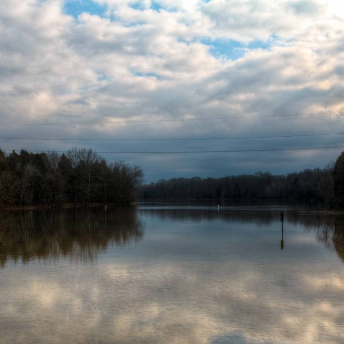
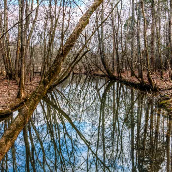
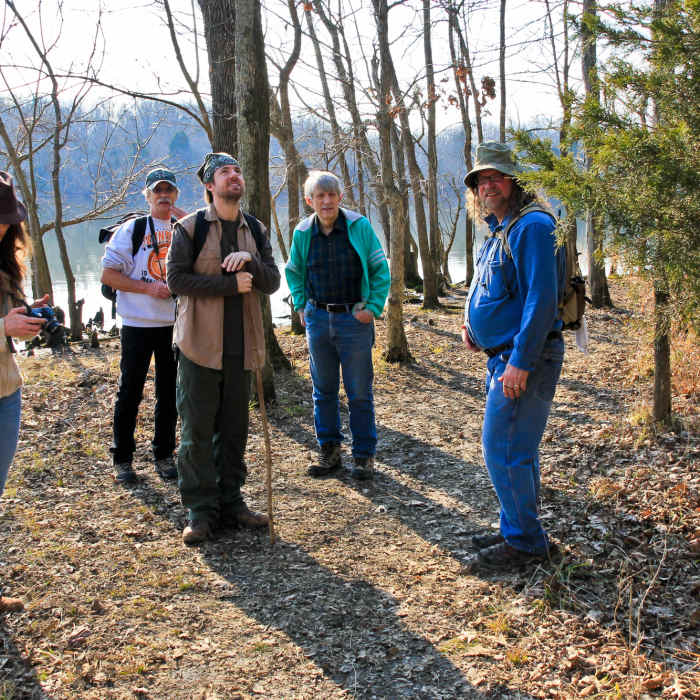
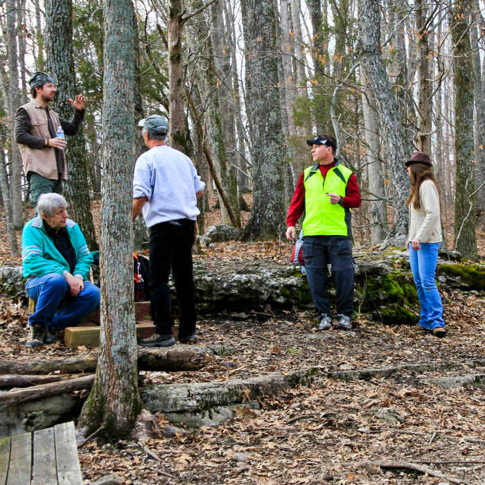
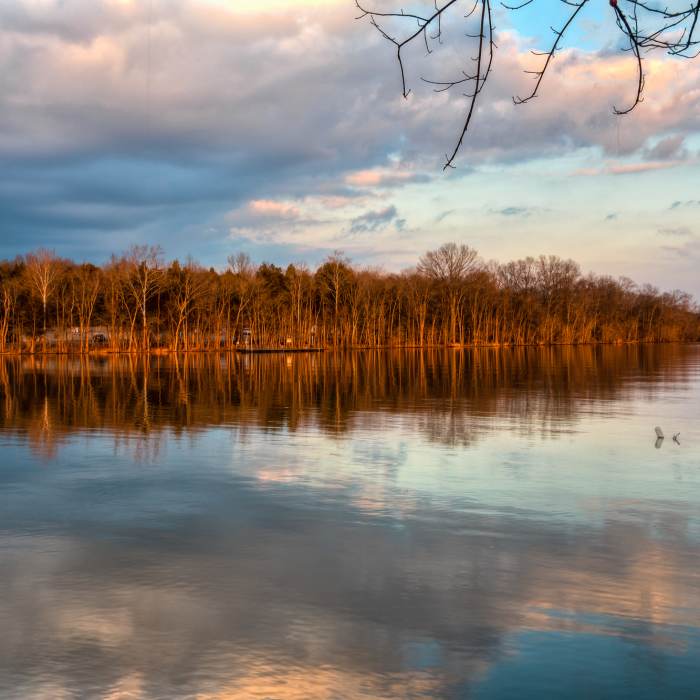
Near Shoreline Trail
Bledsoe Creek State Park.
Near Shoreline Trail
Bledsoe Creek State Park.
Near Shoreline Trail
Bledsoe Creek State Park.
Near Shoreline Trail
Bledsoe Creek State Park.
Near Shoreline Trail
Bledsoe Creek State Park.

Looking for more photos?

View All Photos
Driving Directions
Hike Trail

Shoreline Trail

4.0 (1 Rating)
This peaceful wooded trail heads through gently rolling hills with occasional rock shelves overlooking Old Hickory Lake.
1.3
mi
Distance
52
ft
Gain
easy
Difficulty
BirdingFamily FriendlyLakeWildlife

Route Details

Flatter
Steeper
1.28mi
Distance
52ft
Elevation Gain
50ft
Elevation Loss
15%
Max Grade
483ft
High Point
445ft
Low Point
Path Type
Point to Point
Description
Access the trail from the main park Visitor Center via the Mayo Wix Trail or the Campers Launch Ramp, both located along the main Bledsoe Park Road. From either point this will be an out-and-back hike unless you opt to continue onto the High Ridge Trail and complete the full park loop of about 2.6 miles.

Route Conditions

Report Conditions
No Condition Reports
Report Conditions

Nearby Hike Routes

Shoreline + High Ridge Trail Loop

Hike Route

Shoreline + High Ridge Trail Loop

Lakefront
easy
2.02 mi
+242 ft
Bledsoe Creek State Park Main Loop

Hike Route

Bledsoe Creek State Park Main Loop

Family Friendly
moderate
3.26 mi
+250 ft
Hidden Springs Trail

Hike Route

Hidden Springs Trail

Spring
moderate
3.98 mi
+153 ft
Couchville Lake

Hike Route

Couchville Lake

Lake
easy
2.16 mi
+0 ft
Henry Hollow and Ridgetop

Hike Route

Henry Hollow and Ridgetop

River/Creek
moderate
6.48 mi
+708 ft
Laurel Woods Trail

Hike Route

Laurel Woods Trail

Views
strenuous
12.31 mi
+1,802 ft
Contributors
James S.
