
Near Giant Ledge-Panther-Fox Hollow Trail
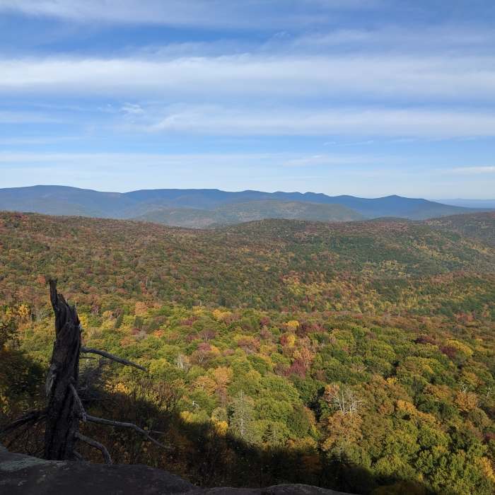
We love the beautiful view from Giant Ledger.
Near Giant Ledge-Panther-Fox Hollow Trail
autumn view from one of the ledges
Near Giant Ledge-Panther-Fox Hollow Trail
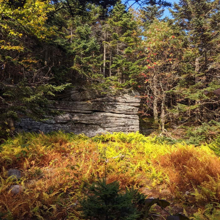
just a little clearing with a gorgeous rock formation and beautiful fall colors
Near Giant Ledge-Panther-Fox Hollow Trail
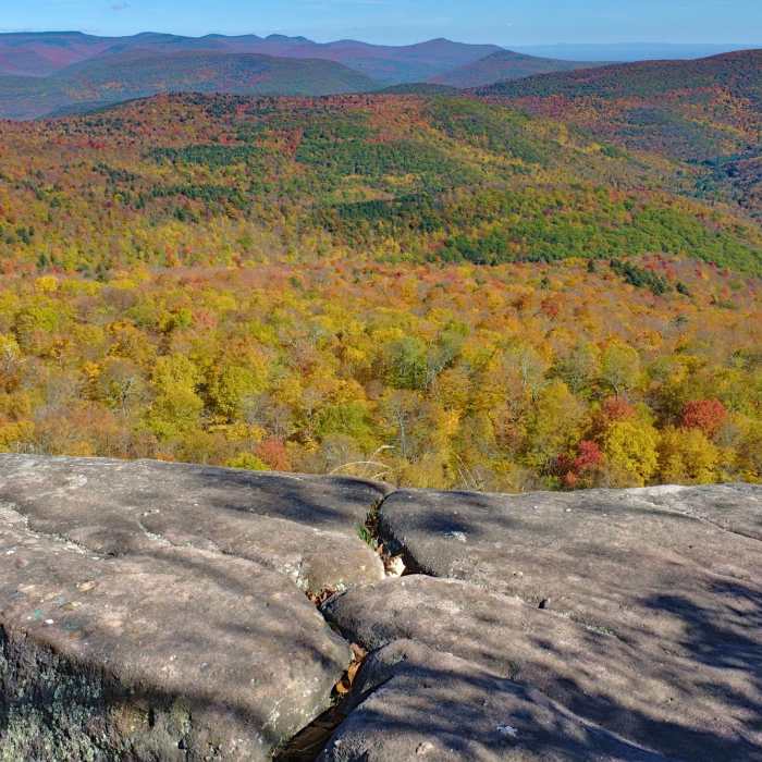
Classic autumn view from the Giant Ledge hike in the Catskills, NY
Near Giant Ledge-Panther-Fox Hollow Trail
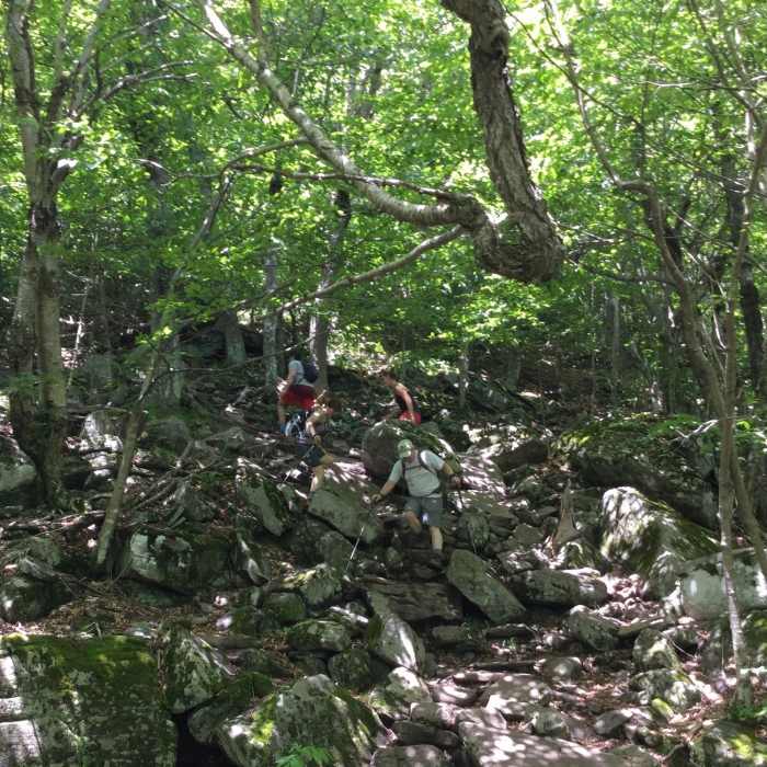
Make no mistake, this is a bumpy hike!

Looking for more photos?

View All Photos
View Map
Driving Directions
Hike Trail

Giant Ledge-Panther-Fox Hollow Trail

4.7 (12 Ratings)
This is a great, strenuous trail with views of magnificent mountains.
7.9
mi
Distance
2,798
ft
Gain
strenuous
Difficulty
Fall ColorsRiver/CreekViewsWildlife

Route Details

Flatter
Steeper
7.94mi
Distance
2,798ft
Elevation Gain
1,598ft
Elevation Loss
40%
Max Grade
3,724ft
High Point
1,349ft
Low Point
Path Type
Point to Point
Description
From Rt. 28 near Allaben take Fox Hollow Rd, and drive 1.5 miles to the Fox Hollow Parking lot.Take the blue-blazed trail and begin your ascent. This is strenuous route even for experienced hikers. The trail ascends gradually with a few rock scrambles that keep things interesting. Once you've been hiking for 4.5 miles, you'll be nearing Panther Mt. From this point (like many points along the way) you'll be rewarded with some pretty awesome views. Take a few moments to enjoy the view, give your legs a rest, and enjoy a snack all while taking in one of the best views in the Catskills. To continue on to Giant Ledge, hike downhill another 1.8 miles, where you'll find similar dramatic views. To complete the entire Giant Ledge-Panther-Fox Hollow Trail, and to reach the southern trailhead, hike 0.75 miles to the Phoenicia-East Branch Trail, which you'll take west briefly.

Route Conditions

Report Conditions
No Condition Reports
Report Conditions

Nearby Hike Routes

Romer - Pleasant - Cross Mountain Traverse

Hike Route

Romer - Pleasant - Cross Mountain Traverse

Views
strenuous
11.64 mi
+2,509 ft
Tanbark Loop

Hike Route

Tanbark Loop

easy
1.93 mi
+677 ft
Wittenberg + Cornell Mountains

Hike Route

Wittenberg + Cornell Mountains

Dogs Allowed
strenuous
8.37 mi
+3,023 ft
Slide, Cornell + Wittenberg Mountains

Hike Route

Slide, Cornell + Wittenberg Mountains

Dogs Allowed
strenuous
6.09 mi
+3,667 ft
Sherrill and North Dome

Hike Route

Sherrill and North Dome

strenuous
7.72 mi
+3,259 ft
Giant Ledge and Panther Mountain Out and Back

Hike Route

Giant Ledge and Panther Mountain Out and Back

Birding
strenuous
6.37 mi
+1,899 ft
Contributors
Miroslaw Wierzbicki
