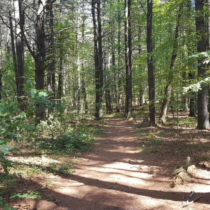
Near Backpacker Trail
Backpacker Trail

Looking for more photos?

View All Photos
Driving Directions
Hike Trail

Backpacker Trail

4.0 (1 Rating)
A trail from the Acorn Trail area parking to the southern side of Callahan Park.
1.1
mi
Distance
137
ft
Gain
moderate
Difficulty
BirdingDogs AllowedFall ColorsLess Crowded

Route Details

Flatter
Steeper
1.15mi
Distance
137ft
Elevation Gain
53ft
Elevation Loss
10%
Max Grade
356ft
High Point
250ft
Low Point
Path Type
Point to Point
Description
The Backpacker Trail connects the Acorn Trail and its parking area through Bebe Pond and Gibbs "Mountain" to the southern side of the park. The northern side has fewer visitors whereas the southern has many dogs off-leash with wider open spaces. The trail isn't too technical except close to Edmunds Road around Gibbs Mountain.

Route Conditions

Report Conditions
No Condition Reports
Report Conditions

Nearby Hike Routes

Eight Mile Tour

Hike Route

Eight Mile Tour

strenuous
7.18 mi
+919 ft
Jericho Hill Red, White & Blue route

Hike Route

Jericho Hill Red, White & Blue route

Birding
strenuous
1.17 mi
+215 ft
Cedar Hill and Crane Swamp Loop

Hike Route

Cedar Hill and Crane Swamp Loop

Birding
easy
2.63 mi
+169 ft
Hopkington State Park Loop

Hike Route

Hopkington State Park Loop

Lake
moderate
2.88 mi
+251 ft
Assabet River National Wildlife Refuge + Rail Trail

Hike Route

Assabet River National Wildlife Refuge + Rail Trail

Less Crowded
easy
9.28 mi
+89 ft
Danforth Falls Loop Trail

Hike Route

Danforth Falls Loop Trail

Family Friendly
easy
1.19 mi
+206 ft
Contributors
Peter Kahn
