Near River's Edge Trail
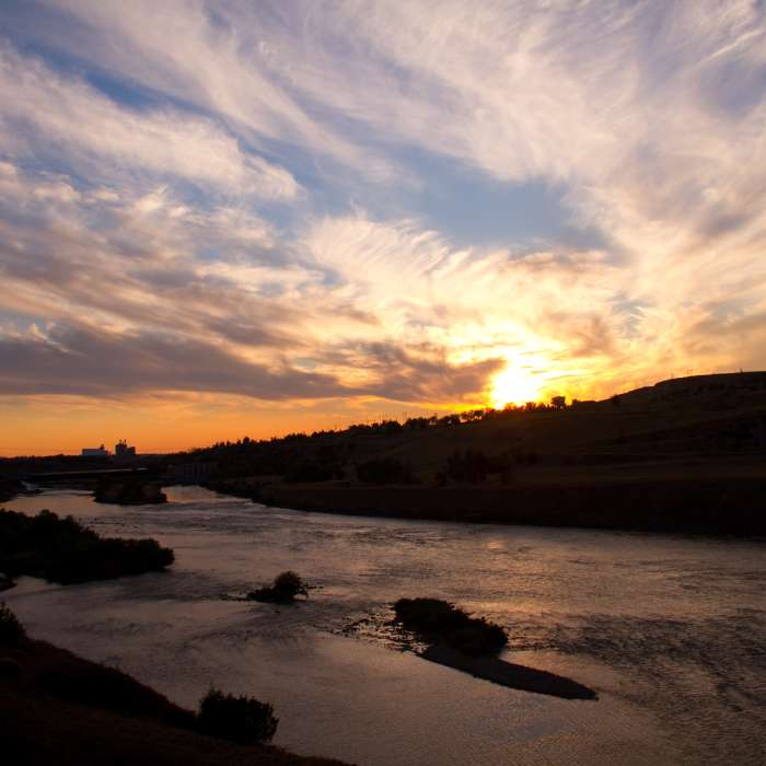
Great Falls sunset.
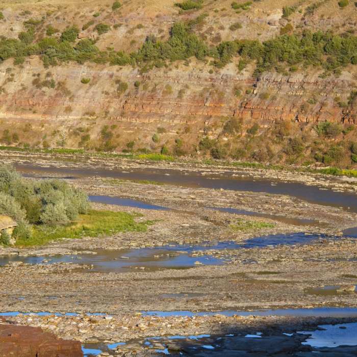
Near River's Edge Trail
Great Falls

Looking for more photos?

View All Photos
View Map
Driving Directions
Hike Trail

River's Edge Trail

4.0 (1 Rating)
Out of town folks who ride or walk this trail are completely amazed by its beauty and quality.
8.7
mi
Distance
329
ft
Gain
easy
Difficulty
River/CreekViews

Route Details

Flatter
Steeper
8.65mi
Distance
329ft
Elevation Gain
214ft
Elevation Loss
15%
Max Grade
3,449ft
High Point
3,289ft
Low Point
Path Type
Point to Point
Description
This shared use path follows abandoned rail lines, rural parks, and urban parks along the Missouri's southern bank all the way from the Lewis and Clark Overlook Trailhead to Downtown Great Falls. Be sure to check out Giant Springs State Park, the Lewis and Clark Interpretive Center, and the Riverside Skate Park along the way. Lots of wildlife, historic sites, scenic viewpoints, and easy ridin' along the way.

Route Conditions

Report Conditions
No Condition Reports
Report Conditions

Nearby Hike Routes

Montana Trail Section 20

Hike Route

Montana Trail Section 20

moderate
20.54 mi
+422 ft
Highwood Baldy Out-and-Back

Hike Route

Highwood Baldy Out-and-Back

Birding
strenuous
6 mi
+3,218 ft
Center Ridge to North Fork Highwood Creek Loop

Hike Route

Center Ridge to North Fork Highwood Creek Loop

strenuous
8.12 mi
+1,518 ft
Montana Trail Section 21

Hike Route

Montana Trail Section 21

moderate
148.44 mi
+30 ft
Highwood Mountains Loop

Hike Route

Highwood Mountains Loop

extreme
14.79 mi
+3,066 ft
Tower Rock Trail

Hike Route

Tower Rock Trail

easy
0.98 mi
+168 ft
Contributors
John Juras
