
Ready to explore this trail?
View Trail Map in AppPath Type
Point to Point
Popular with hikers, mountain bikers, and motorcyclists alike, Bangtail Divide is a very long trail suitable for being broken up into smaller parts such as just up and back on either Grassy Mountain or Stone Creek. Or possibly with a car shuttle to up the Olsen Creek Road.
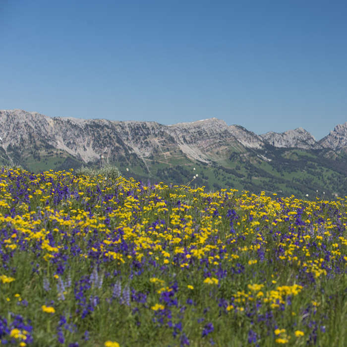
The trail climbs to a high elevation and then remains there for essentially its entire length. The views of the Bridger Mountain Range only a mile or so to the west are absolutely stunning for the entirety of the route. The Crazy Mountain Range across the Shields Valley to the east shows its oft snow studded peaks off to the hiker with his or her head up as well from time to time.
The trail varies in difficulty along its length with the primary gain and loss being at the beginning and end as you gain and then departs the ridgeline of this unassuming range in southwest Montana. Along its heights, the terrain is generally flat and located atop wide open meadows. The length of the trail, however, is very long, so the difficulty is high. A number of tightly weaving switchbacks and downhill sections popular with bikes and motos do exist along the route, but to a hiker these will generally not be too difficult.
The high point of the trail at the northern end is Grassy Mountain, but the trail does not reach its summit proper. An easy off-trail jaunt puts you atop its heights, however.
All Clear
Some Issues
Some Issues
Looking for more condition reports?
Contributors

