Ready to explore this trail?
View Trail Map in AppPath Type
Point to Point
This trail can be accessed via the Mill Creek Road, Eider Creek Trail, Jud Weibe Trail, Mill Creek Waterline Trail or via Airport Road. Parking exists both at Mill Creek and at the Deep Creek Trailhead on the west side. Either way, there is a good bit of elevation gain on this hike.
Hiking west to east will yield a more abrupt and steeper ascent while east to west starts at a higher elevation from the junction with the Mill Creek Waterline Trail, which minimizes some of the climbing. Many of the loops that involve this trail end up being over 15 miles with strenuous ascents, so bring adequate food and water.
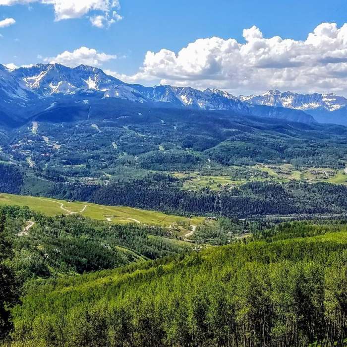
The trail is almost entirely on singletrack that ranges from very smooth to somewhat rocky. The route is highly scenic and is a great way to see the whole valley and much of the surrounding San Juans.
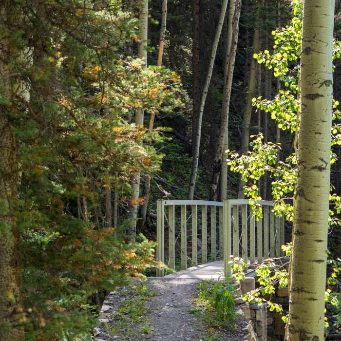
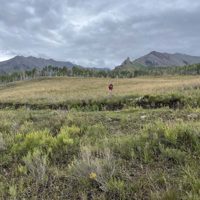
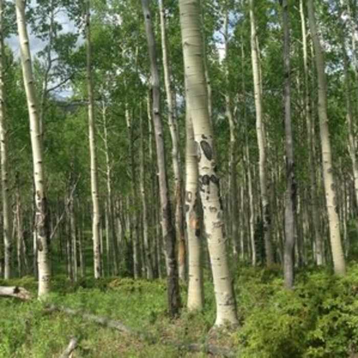
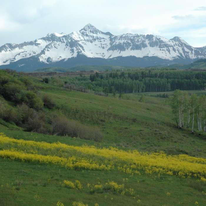
Starting from the parking lot at Deep Creek Trailhead, start on a gentle climb through an open meadow. As you climb this hillside, you can look back on the surrounding valley which, depending on the time of year, will be full of wildflowers. At half a mile, take a left onto a wider doubletrack trail that flattens out and runs along a man-made canal. The aspen trees along this section are massive.
The trail crosses Sheep Creek and comes to a junction with the Whipple Creek Trail - continue to the right to stay on the Deep Creek Trail. After heading through a lush meadow fed by Sheep Creek, you'll start the first steep section of climbing. The singletrack climbs steeply for about a mile before the trail starts to wind and switchback through the expansive aspen forests. The climb mellows out, and you can start to enjoy some of the views peeking through the trees.
At about 2.5 miles, you'll come to a break in the trees that offers great views of the valley and the mountains across the way. From here, the climb is much more gradual as you'll generally be traversing the hillside through the giant aspens. For the next couple miles, the trail is a well-groomed singletrack that heads in and out of aspen groves. You'll come to open areas that appear to be the work of avalanches and these chutes afford amazing views.
At about 4.5 miles, you'll descend for the first time since you started. Here the trail heads down a slope to a junction with the Eider Creek Trail on the right and shortly after the Sneffels Highline Trail on the left. After passing the junction for the Sneffels Highline Trail, enjoy the last little bit of winding trail down through evergreens mixed with Aspens until coming to the end of the trail at the junction with the Mill Creek Waterline Trail.
No Condition Reports
Contributors

