
Near Eider Creek Trail
Beautiful aspen forest.
Near Eider Creek Trail
The many aspen groves are a highlight of this trail.
Near Eider Creek Trail
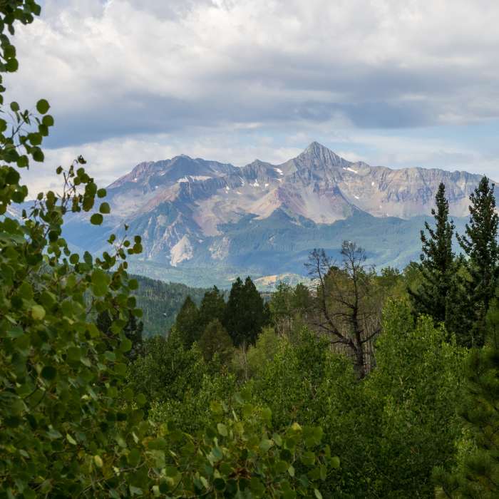
Views of Wilson Peak from trail.
Near Eider Creek Trail
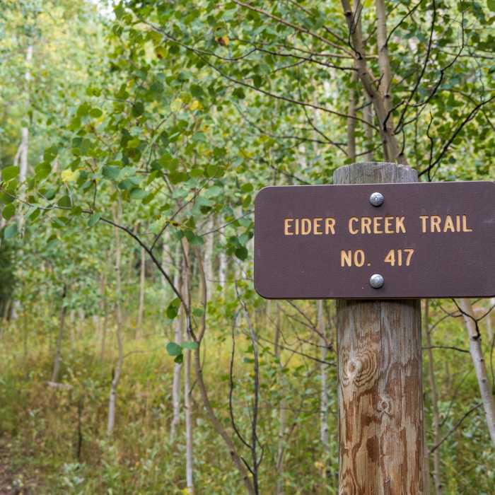
Trail sign along the trail.

Looking for more photos?

View All Photos
View Map
Driving Directions
Hike Trail

Eider Creek Trail

4.0 (2 Ratings)
A steep and technical trail connecting to the Deep Creek Trail #418.
1.6
mi
Distance
1,135
ft
Gain
strenuous
Difficulty
Fall ColorsViewsWildflowers

Route Details

Flatter
Steeper
1.58mi
Distance
1,135ft
Elevation Gain
28ft
Elevation Loss
25%
Max Grade
10,239ft
High Point
9,132ft
Low Point
Path Type
Point to Point
Description
This trail is a seriously steep singletrack that serves as a challenging uphill to access the Deep Creek Trail #418. To access this trail, drive up Mill Creek Road until the first major pullout, at which point the trail branches north (uphill) off of the road. This is a tough but great way to access the Deep Creek Trail #418. It offers great views of Mt. Wilson and Lizard Head as well.

Route Conditions

Report Conditions
No Condition Reports
Report Conditions

Nearby Hike Routes

Eider Creek + Deep Creek + Mill Creek Waterline

Classic Hike Route

Eider Creek + Deep Creek + Mill Creek Waterline

Birding
strenuous
6.26 mi
+1,633 ft
Ridge Trail

Hike Route

Ridge Trail

Birding
moderate
3.14 mi
+1,114 ft
Village Trail

Hike Route

Village Trail

Birding
moderate
7.76 mi
+1,314 ft
River Trail and Idarado Trail

Hike Route

River Trail and Idarado Trail

Dogs Allowed
easy
5.02 mi
+256 ft
Keystone Gorge Loop

Hike Route

Keystone Gorge Loop

easy
2.21 mi
+534 ft
Galloping Goose Trail

Hike Route

Galloping Goose Trail

Views
moderate
6.48 mi
+570 ft
Contributors
Kristen Arendt
