Near Baptism River Mouth Trail
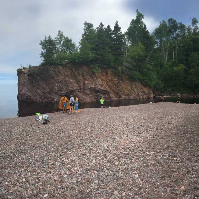
You can definitely swim at the river mouth.
Near Baptism River Mouth Trail
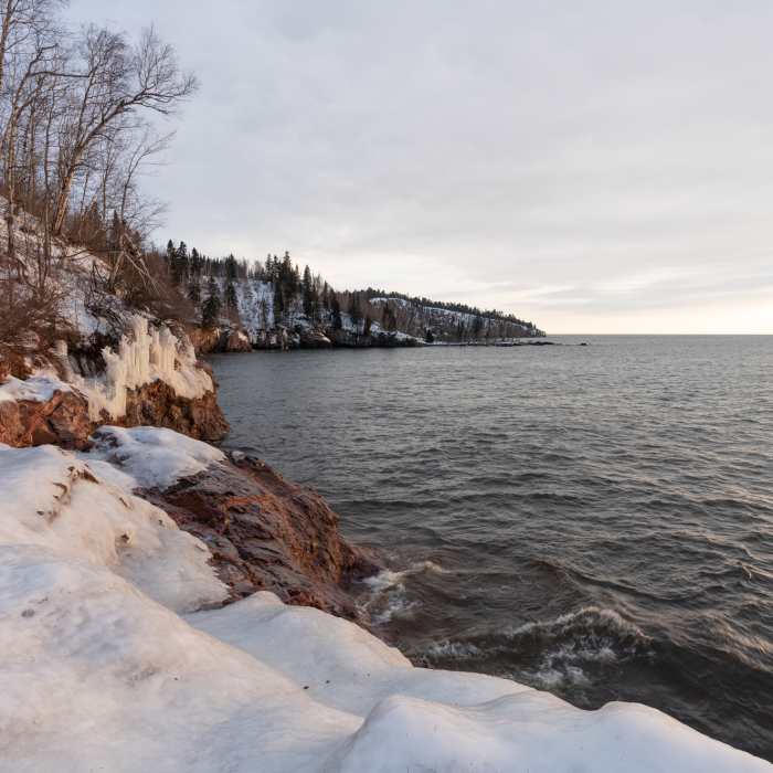
Icy Shores of Lake Superior - Tettegouche State Park, Minnesota
Near Baptism River Mouth Trail
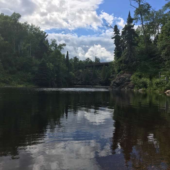
This is a view of the Baptism River looking inland from the mouth at Lake Superior.

Looking for more photos?

View All Photos
View Map
Driving Directions
Hike Trail

Baptism River Mouth Trail

4.8 (4 Ratings)
A short, easy trail from Hwy 61 where Baptism River flows into Lake Superior.
0.1
mi
Distance
ft
Gain
moderate
Difficulty
Family FriendlyLakeRiver/CreekSwimmingViews

Route Details

Flatter
Steeper
0.1mi
Distance
0ft
Elevation Gain
59ft
Elevation Loss
15%
Max Grade
667ft
High Point
608ft
Low Point
Path Type
Point to Point
Description
A very short trail to a great spot to fish, swim, or take in great views of the vast Lake Superior and the gorge of Baptism River inland. There are a few flights of stairs and gentle grades, but overall a very brief and easy hike. About halfway, there is an overlook with views of the river mouth from a higher vantage.

Route Conditions

Report Conditions
No Condition Reports
Report Conditions

Nearby Hike Routes

Cascade Falls

Hike Route

Cascade Falls

Views
easy
0.59 mi
+41 ft
Shovel Point

Hike Route

Shovel Point

Lake
easy
1.42 mi
+349 ft
High Falls and Two Step Falls

Hike Route

High Falls and Two Step Falls

Birding
moderate
3.5 mi
+629 ft
Nicada Lake Hike

Hike Route

Nicada Lake Hike

Lake
easy
1.68 mi
+331 ft
Superior Hiking Trail: Section 13

Hike Route

Superior Hiking Trail: Section 13

Views
easy
1.41 mi
+472 ft
Bean Lake + Bear Lake via the Superior Hiking Trail

Hike Route

Bean Lake + Bear Lake via the Superior Hiking Trail

Lake
easy
3.42 mi
+741 ft
Contributors
Dylan Caliva
