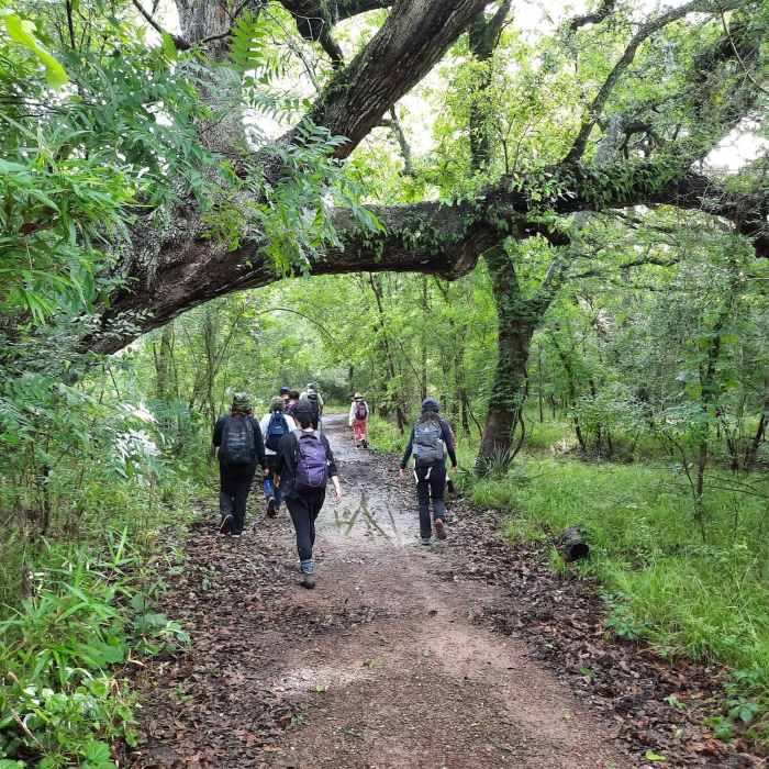
Near Red Buckeye Trail
A lush park often means soggy trails.

Looking for more photos?

View All Photos
View Map
Driving Directions
Hike Trail
Buy Now View in 3D

Red Buckeye Trail

3.0 (1 Rating)
A short trail that takes you to the mouth of Big Creek.
1.2
mi
Distance
1
ft
Gain
easy
Difficulty
River/Creek
Access Issues
The park closes frequently due to flooding, check for closures before you head to it.

Route Details

Flatter
Steeper
1.18mi
Distance
1ft
Elevation Gain
0ft
Elevation Loss
5%
Max Grade
54ft
High Point
38ft
Low Point
Path Type
Point to Point
Description
To get to the Red Buckeye Trail you should hike along the White Oak Trail for less than a quarter of a mile. Look for the trail on your right/south. The trail heads due south on a small peninsula formed between Big Creek and the Brazos River. The trail follows the edge of the creek and includes a small bend to the west. The trail then takes you near where the creek joins the Brazos River before heading north to follow the river back up to the White Oak Trail.

Route Conditions

Report Conditions
No Condition Reports
Report Conditions

Nearby Hike Routes

Brazos Bend State Park Figure Eight Loop

Hike Route

Brazos Bend State Park Figure Eight Loop

Birding
easy
4.1 mi
+15 ft
Terry Hershey Hike and Bike Trail

Hike Route

Terry Hershey Hike and Bike Trail

Birding
easy
13.34 mi
+165 ft
Houston Arboretum Walking Loop

Hike Route

Houston Arboretum Walking Loop

Birding
easy
2.37 mi
+2 ft
Keith-Wiess Park Loop

Hike Route

Keith-Wiess Park Loop

Birding
easy
2.05 mi
+15 ft
Cypress Creek Trail

Hike Route

Cypress Creek Trail

Family Friendly
moderate
7.72 mi
+42 ft
Cypress Greenway Trail

Hike Route

Cypress Greenway Trail

Family Friendly
moderate
12.84 mi
+63 ft
Contributors
Karl W
