Ready to explore this trail?
View Trail Map in AppRegional Classic
A must do route for the area handpicked by local experts.
Parking at the Adirondack Loj trailhead requires a daily fee and fills rapidly early in the morning, especially on summer and autumn weekends. Hikers must register and obtain a free self-issue wilderness permit at the trailhead. Wilderness regulations apply within the High Peaks Wilderness.
Path Type
There and Back
This route begins and ends at Adirondak Loj after reaching the summit of Wright Peak.
From the Adirondak Loj trailhead, head south on the Heart Lake Loop Trail. At 0.3 miles, turn left onto the Old Marcy Dam Trail. At 0.7 miles, keep right to continue south towards MacIntyre Brook.
At 1.2 miles, turn right onto the Algonquin Trail and begin a steady, increasingly steep ascent alongside MacIntyre Brook.
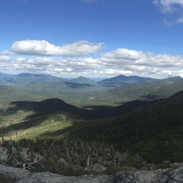
At 2.9 miles, arrive at the junction for the Wright Peak Spur Trail. Turn left onto the spur trail. Navigate a steep, challenging scramble over open bedrock and rock slabs to the summit. The exposed summit is highly vulnerable to severe weather and high winds.
Retrace your steps to return to the trailhead.
No Condition Reports
Nye Mountain Trail
Nye Mountain Trail
Street Mountain Trail
Street Mountain Trail
MacNaughton Mountain
MacNaughton Mountain
Lost Pond Peak
Lost Pond Peak
Wallface Mountain
Wallface Mountain
Algonquin Peak
Algonquin Peak
Contributors

