Ready to explore this trail?
View Trail Map in AppRegional Classic
A must do route for the area handpicked by local experts.
A daily parking fee is required at the Adirondack Loj trailhead. Day hikers must sign the register at the trailhead, but no permits are required. Wilderness regulations apply within the High Peaks Wilderness.
Path Type
There and Back
This bushwhacking route begins and ends at the Adirondack Loj trailhead, after reaching the wooded summit of Wallface Mountain.
From the trailhead, follow the Indian Pass Trail to the west. Continue past the Rocky Falls junction at 2.1 miles, staying straight on the Indian Pass Trail. Around 3.5 miles, pass by the Scott Clearing Lean-To At approximately 4.7 miles, near the head of Indian Pass, leave the maintained trail on the right to begin the bushwhack.
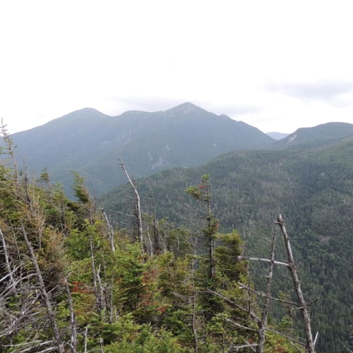
Ascend southwest up the steep, trackless eastern slopes of Wallface Mountain. Climb through dense spruce-fir forest and blowdown. Navigation requires a map and compass or GPS as there is no marked trail. Reach the flat, wooded summit area at around 5.7 miles. Excellent viewpoints of the MacIntyre Range are accessible from ledges near the cliff edge just east of the summit.
Retrace your steps back down the slope to the Indian Pass Trail and return to the trailhead.
No Condition Reports
Nye Mountain Trail
Nye Mountain Trail
Street Mountain Trail
Street Mountain Trail
MacNaughton Mountain
MacNaughton Mountain
Lost Pond Peak
Lost Pond Peak
Wright Peak
Wright Peak
Algonquin Peak
Algonquin Peak
Contributors

