Ready to explore this trail?
View Trail Map in AppRegional Classic
A must do route for the area handpicked by local experts.
A daily fee is required to park at the Adirondak Loj trailhead. The parking lot frequently fills up early in the morning on summer and fall weekends. All hikers must register at the trailhead. Wilderness regulations apply within the High Peaks Wilderness.
Path Type
There and Back
This route begins and ends at the Adirondak Loj Trailhead after reaching the summit of MacNaughton Mountain.
From the Adirondak Loj trailhead, follow the Indian Pass Trail along Heart Lake as it heads southwest. At 2.1 miles, pass the junction for the Rocky Falls trail, continuing straight on the Indian Pass Trail. Reach Scott Clearing around 3.5 miles. At 3.9 miles, turn right onto the unmaintained trail leading toward Scott Pond.
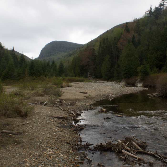
Navigate past Scott Pond and continue through rugged, often muddy terrain to reach Wallface Ponds at approximately 6.4 miles, where the trail ends. From the south end of Wallface Ponds, begin a rigorous off-trail bushwhack heading south up the steep, densely forested northern slopes of MacNaughton Mountain.
Reach the flat, wooded summit of MacNaughton Mountain (4,000 feet) at approximately 7.5 miles, where a wooden sign marks its status as the '47th High Peak'.
Retrace your steps back to the Adirondak Loj.
No Condition Reports
Nye Mountain Trail
Nye Mountain Trail
Street Mountain Trail
Street Mountain Trail
Lost Pond Peak
Lost Pond Peak
Wallface Mountain
Wallface Mountain
Wright Peak
Wright Peak
Algonquin Peak
Algonquin Peak
Contributors

