Ready to explore this trail?
View Trail Map in AppRegional Classic
A must do route for the area handpicked by local experts.
A free parking reservation is required May 1–October 31 through hikeamr.org for all access through the Adirondack Mountain Reserve, including walk-ins. Dogs are prohibited.
Path Type
There and Back
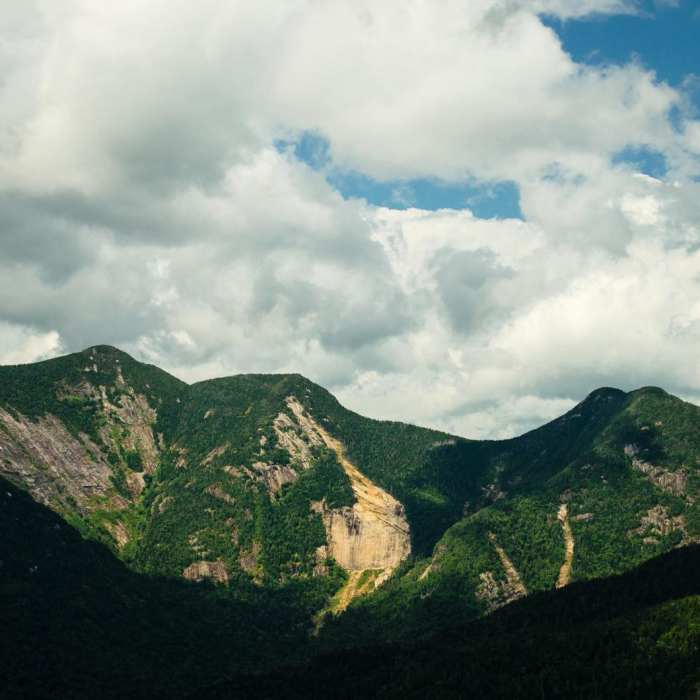
The route starts and ends at the Ausable Club Trail Access parking area on Route 73 in Keene and reaches the summit of Mount Colvin (4,057'), about 11.5 miles round trip with roughly 2,900 vertical feet of climbing.
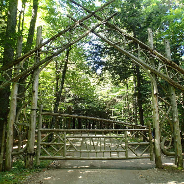
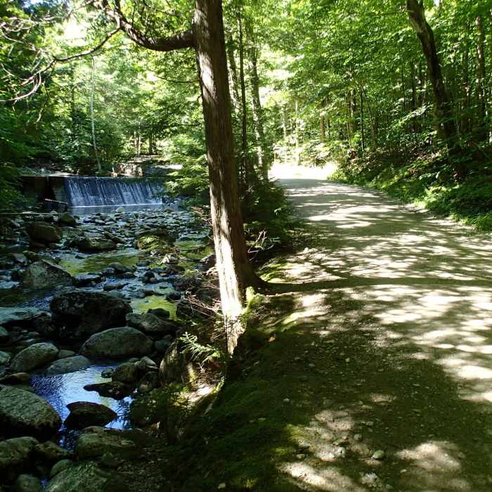
From the parking lot, cross Route 73 to Ausable Road and follow the dirt road, then pavement, past the golf course. At 0.5 miles turn left between the tennis courts and walk down to the gatehouse and trail register at 0.6 miles. Continue on the gravel Lake Road for about 2.5 miles, passing the Gothics and Beaver Meadows Falls trail on the right, then turn left onto the foot trail marked for Gill Brook, Colvin, and Indian Head. Climb steadily beside the brook, passing waterfalls and flumes. Continue straight past the Indian Head and Fish Hawk Cliffs junctions on your right. At the Elk Pass junction, stay right. The final quarter mile is steep, with slabs and roots that ice over from late fall through spring.
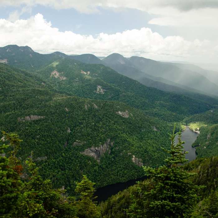
A ledge just past the summit looks toward Blake Peak and Upper Ausable Lake. Retrace your steps, taking care on the steep sections.
No Condition Reports
Nippletop and Dial via Elk Pass
Nippletop and Dial via Elk Pass
Lower Wolfjaw Mountain
Lower Wolfjaw Mountain
Noonmark Mountain
Noonmark Mountain
Mount Colvin and Blake Peak
Mount Colvin and Blake Peak
Gill Brook Trail
Gill Brook Trail
Rainbow Falls on the Adirondack Mountain Reserve
Rainbow Falls on the Adirondack Mountain Reserve
Contributors

