
Ready to explore this trail?
View Trail Map in AppA free reservation is required to access the trailhead via the Adirondack Mountain Reserve (AMR) between May 1 and October 31. Reservations can be made up to two weeks in advance at hikeamr.org. Parking is strictly limited to the designated AMR lot off Route 73; roadside parking is prohibited. Dogs are not allowed anywhere on AMR property, and hikers must register at the ranger station near the start of Lake Road.
Path Type
Loop
This route begins and ends at the Adirondack Mountain Reserve Trailhead after climbing to the summit of Nippletop and descending from the summit of Dial Mountain on the way back.
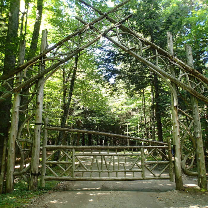
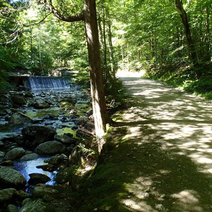
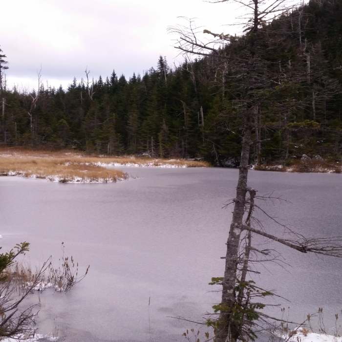
From the Adirondack Mountain Reserve (AMR) Parking Lot off Route 73, follow Ausable Road west to Lake Road, registering at the AMR Ranger Cabin at 0.7 miles. Continue along Lake Road, then turn left onto the Gill Brook Trail at 2.5 miles. Follow this trail past designated campsites, then keep left towards Elk Pass at 4.9 miles. Begin a steep climb up the side of the mountain and turn to the right at 6.0 miles to continue climbing to the summit of Nippletop.
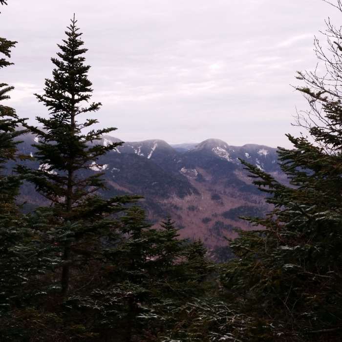
From Nippletop, follow the Leach Trail north along the ridge, descending and then ascending to the summit of Dial Mountain at 8.1 miles. Continue north on the Leach Trail over Bear Den Mountain, descending the rolling ridge. Continue to descend back to Lake Road.
At 11.5 miles, turn right on Lake Road and return to the AMR Parking Lot.
No Condition Reports
Lower Wolfjaw Mountain
Lower Wolfjaw Mountain
Gothics Mountain and Pyramid Peak
Gothics Mountain and Pyramid Peak
The Wolfjaws
The Wolfjaws
Noonmark Mountain
Noonmark Mountain
Mount Colvin and Blake Peak
Mount Colvin and Blake Peak
Gill Brook Trail
Gill Brook Trail
Contributors

