Ready to explore this trail?
View Trail Map in AppRegional Classic
A must do route for the area handpicked by local experts.
A free reservation is required from May 1 through October 31 to park and access the trailhead on Adirondack Mountain Reserve (AMR) land. Dogs are strictly prohibited.
Path Type
There and Back
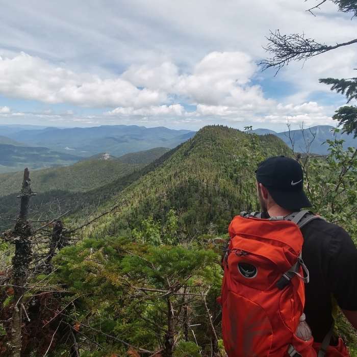
This route begins and ends at the Adirondack Mountain Reserve Trailhead, after reaching the summit of Lower Wolfjaw Mountain.
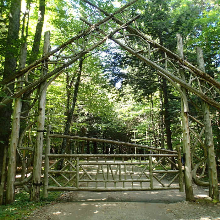
From the parking area, follow the paved road through the golf course. At 0.5 miles, turn left at the tennis courts and continue past the cabins to reach the Adirondack Mountain Reserve (AMR) wooden gate. Continue along Lake Road. At 1.6 miles, turn right onto the River Crossover Trail, then turn left onto the West River Trail.
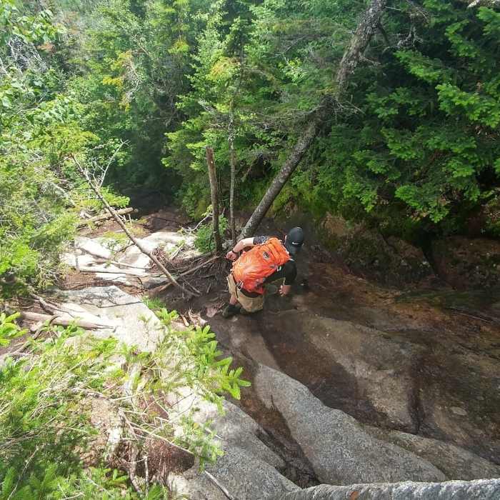
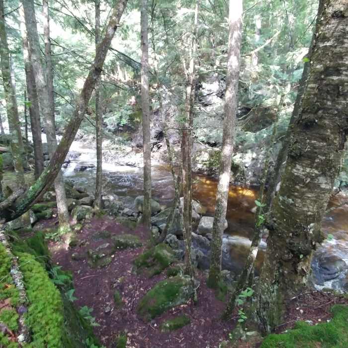
Follow the West River Trail along the creek, then turn right across the wooden bridge following signs for the Wolfjaws. Climb along the brook. At 4.2 miles, turn left at the blue-marked junction toward Wolfjaw Notch. At 4.5 miles, reach the junction with the Adirondack Range Trail and turn right, following the yellow DEC markers to climb to the summit of Lower Wolfjaw Mountain.
Retrace your steps to return to the trailhead.
No Condition Reports
Nippletop and Dial via Elk Pass
Nippletop and Dial via Elk Pass
Gothics Mountain and Pyramid Peak
Gothics Mountain and Pyramid Peak
The Wolfjaws
The Wolfjaws
Noonmark Mountain
Noonmark Mountain
Mount Colvin and Blake Peak
Mount Colvin and Blake Peak
Gill Brook Trail
Gill Brook Trail
Contributors

