Ready to explore this trail?
View Trail Map in AppRegional Classic
A must do route for the area handpicked by local experts.
Access to this route requires a free parking and hiking reservation through the Adirondack Mountain Reserve (AMR) from May 1 through October 31. Reservations must be made in advance at hikeamr.org. No dogs are permitted on AMR property.
Path Type
There and Back
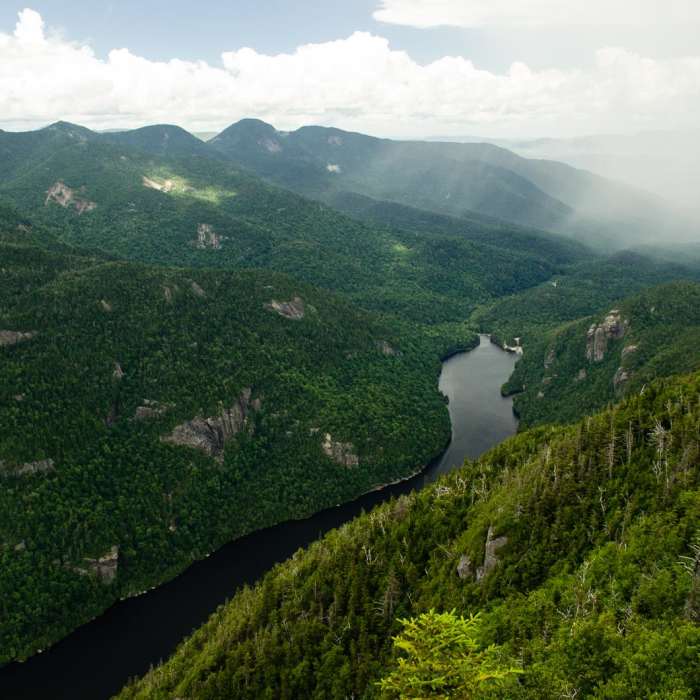
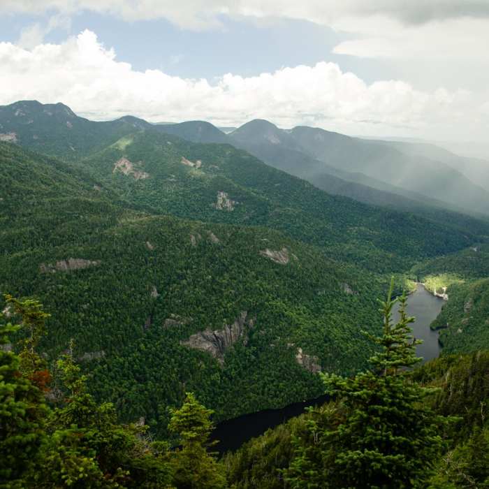
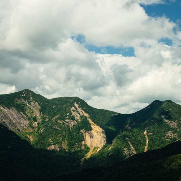
This route begins and ends at the Adirondack Mountain Reserve parking area, after reaching the summits of Mount Colvin and Blake Peak.
Start at the Adirondack Mountain Reserve (AMR) parking area off NY-73. Walk 0.5 miles along the access road past the golf course to reach the gated Lake Road. Turn left and follow Lake Road until reaching the Gill Brook Trail junction on the left, around 2.5 miles. Turn left onto Gill Brook Trail and climb alongside the brook. At 4.8 miles, keep right at the Elk Pass junction to continue toward Mount Colvin.
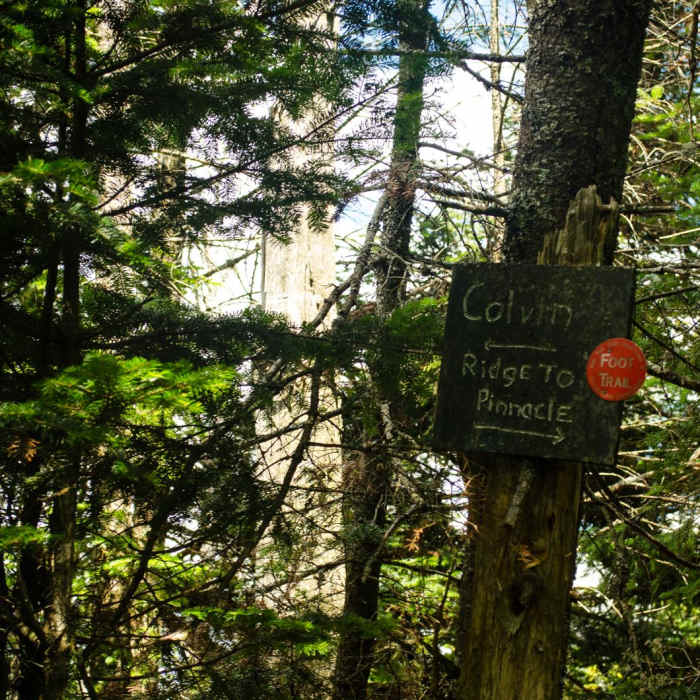
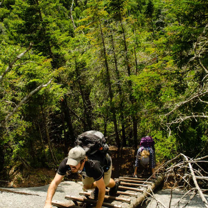
Climb the steep, rocky upper ridge to reach the summit of Mount Colvin at 5.7 miles. To reach Blake Peak, descend into the col, utilizing built-in wooden ladders on steep, potentially icy rock slabs. Climb out of the col to reach the wooded summit of Blake Peak at 6.9 miles.
Crux: The col between Mount Colvin and Blake Peak involves a steep descent on loose, rocky trail followed by an equally steep re-ascent on exposed rock slabs. Fixed ladders assist with the steepest sections of the climb to Blake. Hands are needed throughout the col section. The terrain is in poor condition and demands focused footwork in both directions.
Retrace your steps back over Mount Colvin to return to the trailhead.
No Condition Reports
Nippletop and Dial via Elk Pass
Nippletop and Dial via Elk Pass
Lower Wolfjaw Mountain
Lower Wolfjaw Mountain
Gothics Mountain and Pyramid Peak
Gothics Mountain and Pyramid Peak
The Wolfjaws
The Wolfjaws
Noonmark Mountain
Noonmark Mountain
Gill Brook Trail
Gill Brook Trail
Contributors

