Ready to explore this trail?
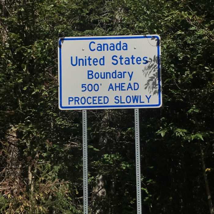
View Trail Map in AppA valid passport may be required to continue onto the Fourth Connecticut Lake Trail.
Path Type
Point to Point
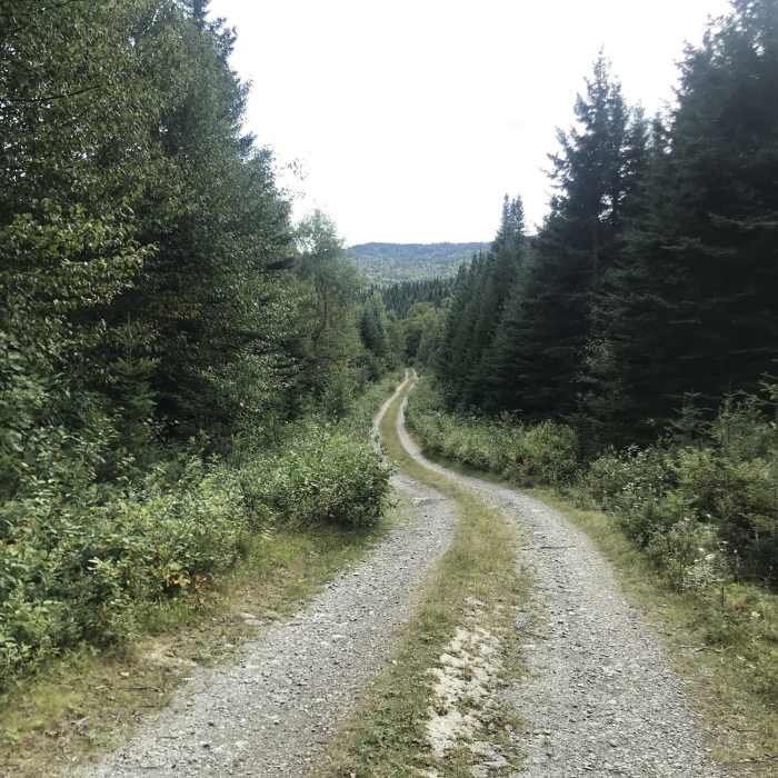
This trail starts off the west side of Route 3 and heads westward. It turns northward and reaches a small sideroad around 0.6 miles. The sign for the Boundary Mountain Region marks this road to the campground. In a short distance, you'll come to the road to Deer Mountain Fire Tower Trail (on the left). Sophie's Lane continues straight and runs past a quarry.
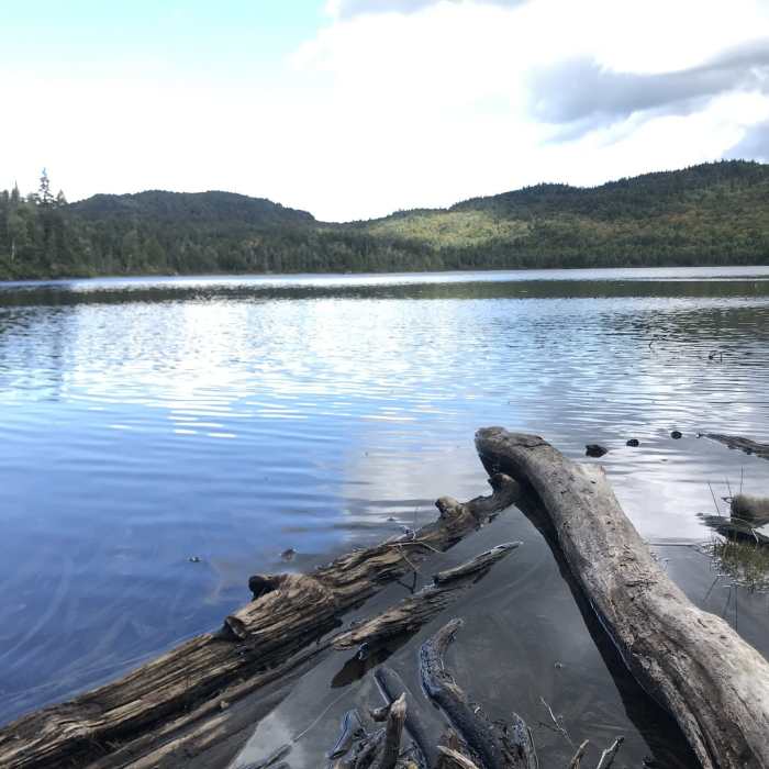
It continues to Snowmobile Junction 455 and stays straight right. The trail arcs left, just south of the Third Connecticut Lake, then turns right along the western edge of the lake. In a short distance, the trail reaches the end of ATV and wheeled vehicle use. From here, the path travels over a bulldozed corridor to the Canadian Border.
While this trail doesn't actually cross the border, it's probably wise to keep your passport handy. Sophie's Lane ends at the trail register for the Fourth Connecticut Lake Trail.
No Condition Reports
Snow Mountain
Snow Mountain
Elephant Mountain via Elephant Mountain Road
Elephant Mountain via Elephant Mountain Road
Gore Mountain via Gore Mountain Trail
Gore Mountain via Gore Mountain Trail
Contributors

