Near Mount Moosilauke via Gorge Brook
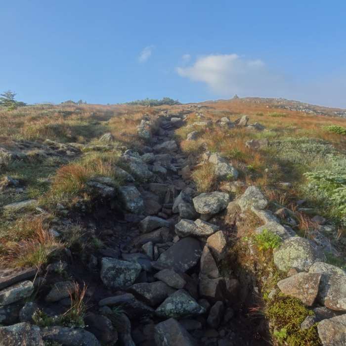
Approaching Moosilauke Summit
Near Mount Moosilauke via Gorge Brook
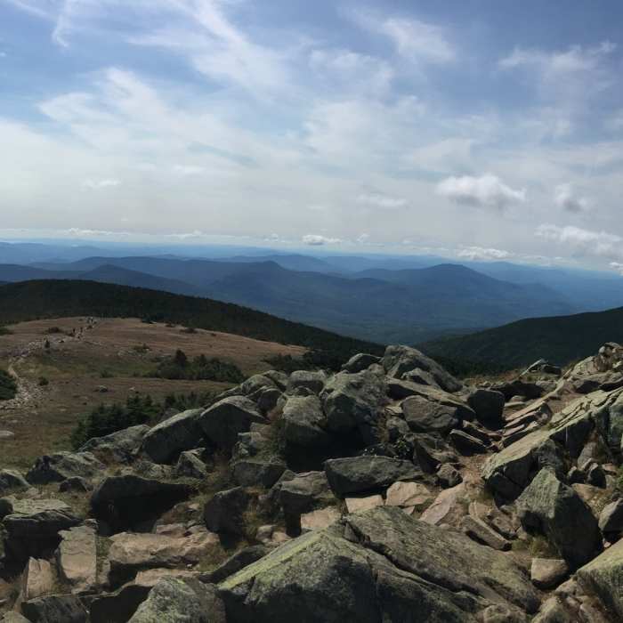
View from the summit.
Near Mount Moosilauke via Gorge Brook
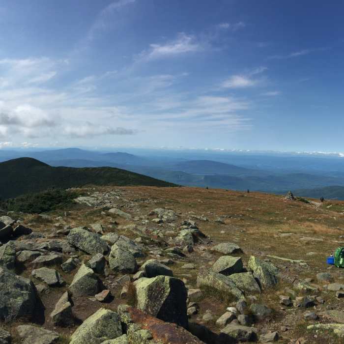
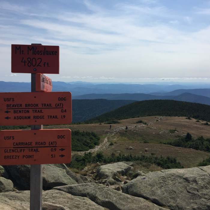
View from the summit, summit sign marker to the right of the photo.
Near Mount Moosilauke via Gorge Brook
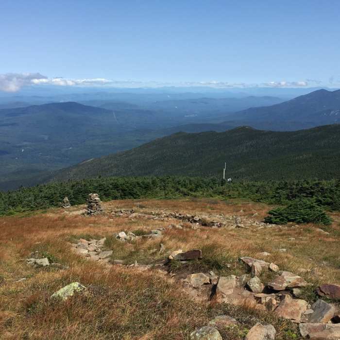
Trail leading back into the treeline.
Near Mount Moosilauke via Gorge Brook
Summit marker sign.

Looking for more photos?

View All Photos
View Map
Driving Directions
Classic Hike Route
Buy NowView in 3D

Mount Moosilauke via Gorge Brook

4.5 (13 Ratings)
The most direct and heavily used approach to Mount Moosilauke, climbing from a historic Dartmouth College lodge through hardwood forest to the mountain's broad, treeless summit.
7
mi
Distance
2,517
ft
Gain
moderate
Difficulty
Regional Classic
A must do route for the area handpicked by local experts.
Dogs AllowedFall ColorsRiver/CreekScenicViews
Access Issues
A $3 forest service fee is paid at a self-service kiosk at the trailhead. Ravine Lodge Road is maintained in winter by the Dartmouth Outing Club, with parking available partway up the access road when the upper lot is inaccessible.

Route Details

Flatter
Steeper
7.02mi
Distance
2,517ft
Elevation Gain
2,517ft
Elevation Loss
35%
Max Grade
4,799ft
High Point
2,372ft
Low Point
Path Type
There and Back
Description
This route starts and ends at Ravine Lodge, covering about 7.2 miles round trip with roughly 2,401 vertical feet of gain. From the lodge, cross a bridge over Gorge Brook at a trail register and sign-in box. The trail crosses Gorge Brook twice more on additional bridges as it climbs steadily through the forest toward the ridge. Above treeline, the trail opens onto the mountain's broad, bald summit dome, where an old stone foundation marks the site of a former summit hotel. The summit is large enough that even a busy day rarely feels crowded, with views in all directions in clear weather. Return by retracing the Gorge Brook Trail to Ravine Lodge.

Route Conditions

Report Conditions
No Condition Reports
Report Conditions

Nearby Hike Routes

Al Merrill Loop

Hike Route

Al Merrill Loop

moderate
4.7 mi
+1,043 ft
Mount Moosilauke Carriage Road

Hike Route

Mount Moosilauke Carriage Road

Dogs Allowed
strenuous
10.03 mi
+3,139 ft
Mount Moosilauke via Beaver Brook Trail

Classic Hike Route

Mount Moosilauke via Beaver Brook Trail

Dogs Allowed
extreme
6.48 mi
+3,162 ft
Mount Moosilauke via Benton Trail

Hike Route

Mount Moosilauke via Benton Trail

Dogs Allowed
extreme
6.29 mi
+3,107 ft
Ore Hill

Hike Route

Ore Hill

Birding
moderate
9.72 mi
+1,889 ft
Indian Head Trail

Hike Route

Indian Head Trail

Birding
strenuous
3.57 mi
+1,538 ft
Contributors
onX Maps, Inc
